13800 NE Brookside Ln Carlton, OR 97111
Estimated Value: $645,000 - $950,000
3
Beds
2
Baths
1,232
Sq Ft
$676/Sq Ft
Est. Value
About This Home
This home is located at 13800 NE Brookside Ln, Carlton, OR 97111 and is currently estimated at $832,820, approximately $675 per square foot. 13800 NE Brookside Ln is a home located in Yamhill County with nearby schools including Dayton Grade School, Dayton Junior High School, and Dayton High School.
Ownership History
Date
Name
Owned For
Owner Type
Purchase Details
Closed on
Nov 19, 2013
Sold by
Winters Dewain F and Winters Suzanne G
Bought by
Nardoni Max F and Nardoni Janette F
Current Estimated Value
Home Financials for this Owner
Home Financials are based on the most recent Mortgage that was taken out on this home.
Original Mortgage
$286,500
Outstanding Balance
$212,578
Interest Rate
4.18%
Mortgage Type
New Conventional
Estimated Equity
$620,242
Create a Home Valuation Report for This Property
The Home Valuation Report is an in-depth analysis detailing your home's value as well as a comparison with similar homes in the area
Home Values in the Area
Average Home Value in this Area
Purchase History
| Date | Buyer | Sale Price | Title Company |
|---|---|---|---|
| Nardoni Max F | $389,000 | First American Title |
Source: Public Records
Mortgage History
| Date | Status | Borrower | Loan Amount |
|---|---|---|---|
| Open | Nardoni Max F | $286,500 |
Source: Public Records
Tax History Compared to Growth
Tax History
| Year | Tax Paid | Tax Assessment Tax Assessment Total Assessment is a certain percentage of the fair market value that is determined by local assessors to be the total taxable value of land and additions on the property. | Land | Improvement |
|---|---|---|---|---|
| 2025 | $2,973 | $243,420 | -- | -- |
| 2024 | $2,913 | $236,452 | -- | -- |
| 2023 | $2,868 | $229,689 | $0 | $0 |
| 2022 | $2,837 | $223,117 | $0 | $0 |
| 2021 | $2,778 | $216,740 | $0 | $0 |
| 2020 | $2,742 | $210,552 | $0 | $0 |
| 2019 | $2,693 | $409,076 | $0 | $0 |
| 2018 | $2,640 | $397,406 | $0 | $0 |
| 2017 | $2,237 | $166,897 | $0 | $0 |
| 2016 | $2,157 | $162,120 | $0 | $0 |
| 2015 | $1,938 | $148,950 | $0 | $0 |
| 2014 | $1,978 | $147,429 | $0 | $0 |
Source: Public Records
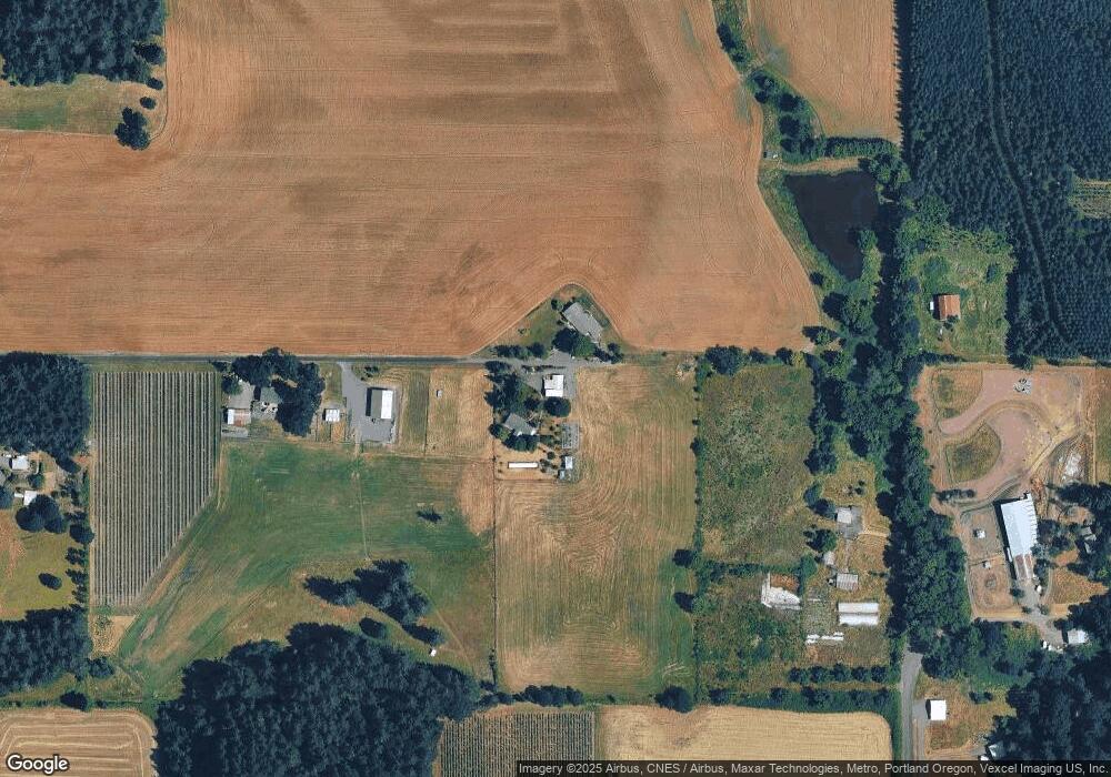
Map
Nearby Homes
- 5720 NE Duniway Rd
- 8085 NE Oak Springs Farm Rd
- 4751 NE Henry Creek Rd
- 967 E 16th St
- 1026 E 15th St
- 966 E 15th St
- 7900 NE Oak Springs Farm Rd
- The 1833 Plan at The Hearth at Millican Creek
- The 1315 Plan at The Hearth at Millican Creek
- The 1609 Plan at The Hearth at Millican Creek
- The 1594 Plan at The Hearth at Millican Creek
- The 2321 Plan at The Hearth at Millican Creek
- The 2366 Plan at The Hearth at Millican Creek
- The 1857 Plan at The Hearth at Millican Creek
- The 2260 Plan at The Hearth at Millican Creek
- The 1622 Plan at The Hearth at Millican Creek
- The 2062 Plan at The Hearth at Millican Creek
- 1333 Adams St
- 277 E 13th St
- 1001 E 9th St
- 13825 NE Brookside Ln
- 13800 NE Brookside Ln
- 13500 NE Brookside Ln
- 6905 NE Duniway Rd
- 6925 NE Duniway Rd
- 6929 NE Duniway Rd
- 6635 NE Duniway Rd
- 13270 NE Brookside Ln
- 6700 NE Duniway Rd
- 6935 NE Duniway Rd
- 14295 NE Blue Bird Hill Ln
- 14250 NE Blue Bird Hill Ln
- 13020 NE Brookside Ln
- 14401 NE Blue Bird Hill Ln
- 14420 NE Blue Bird Hill Ln
- 12900 NE Brookside Ln
- 6280 NE Duniway Rd
- 7401 NE Abbey Rd
- 7080 NE Abbey Rd
- 14530 NE Blue Bird Hill Ln