13803 Highway Pp Middletown, MO 63359
Estimated Value: $403,541 - $539,000
3
Beds
3
Baths
2,340
Sq Ft
$205/Sq Ft
Est. Value
About This Home
This home is located at 13803 Highway Pp, Middletown, MO 63359 and is currently estimated at $480,635, approximately $205 per square foot. 13803 Highway Pp is a home with nearby schools including Bowling Green High School.
Ownership History
Date
Name
Owned For
Owner Type
Purchase Details
Closed on
Jan 14, 2021
Sold by
Gilson Richard Miles and Gilson Ruston Charles
Bought by
Scherder Ryan and Scherder Leigha
Current Estimated Value
Create a Home Valuation Report for This Property
The Home Valuation Report is an in-depth analysis detailing your home's value as well as a comparison with similar homes in the area
Home Values in the Area
Average Home Value in this Area
Purchase History
| Date | Buyer | Sale Price | Title Company |
|---|---|---|---|
| Scherder Ryan | -- | None Available |
Source: Public Records
Tax History Compared to Growth
Tax History
| Year | Tax Paid | Tax Assessment Tax Assessment Total Assessment is a certain percentage of the fair market value that is determined by local assessors to be the total taxable value of land and additions on the property. | Land | Improvement |
|---|---|---|---|---|
| 2024 | $2,209 | $37,320 | $2,480 | $34,840 |
| 2023 | $2,209 | $40,120 | $2,480 | $37,640 |
| 2022 | $2,116 | $38,700 | $1,060 | $37,640 |
| 2021 | $2,110 | $38,700 | $1,060 | $37,640 |
| 2020 | $2,127 | $38,700 | $1,060 | $37,640 |
| 2019 | $2,006 | $38,700 | $1,060 | $37,640 |
| 2018 | $1,805 | $38,700 | $1,060 | $37,640 |
| 2017 | $1,793 | $38,700 | $1,060 | $37,640 |
| 2016 | $1,750 | $38,700 | $1,060 | $37,640 |
| 2015 | -- | $38,700 | $1,060 | $37,640 |
| 2011 | -- | $46,800 | $1,050 | $45,750 |
Source: Public Records
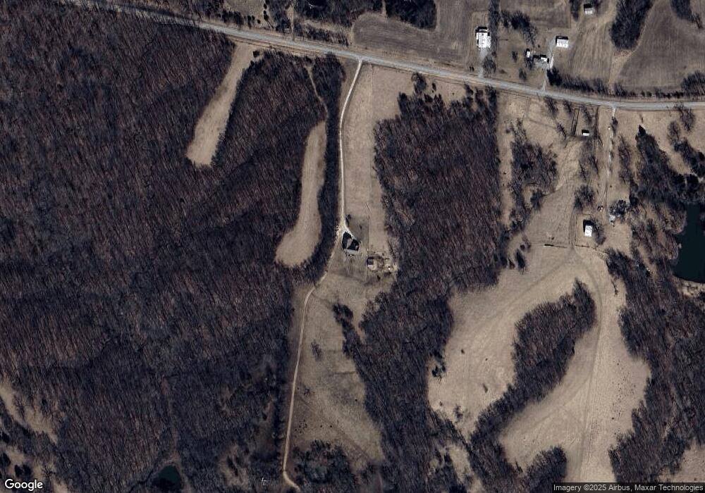
Map
Nearby Homes
- 0 48 25 Ac M L Pike 409
- 0 Pike 409
- TBD Pike 409
- 0 Pike 403 Unit MIS24029296
- 28450 Highway M
- 00 Highway Hh
- 12838 Pike 403
- 0 Lot 5 Linda Ln Unit MIS25074007
- 0 Ln Unit MIS25074010
- 0 Lot 7 Linda Ln Unit MIS25074011
- 00 Highway T
- 0 Central Grove Rd & Marling Rd N Unit MIS25030827
- 21855 Highway M
- 125 Otto Ct
- 107 Otto Ct
- 101 Otto Ct
- 86 Combs Rd
- 19496 Pike 308
- 51 Fox Hollow Ln
- 0 Bales Rd (26 50+ - Acres)
- 13925 Highway Pp
- 13812 Highway Pp
- 13380 Highway Pp
- 13376 Highway Pp
- 13578 Highway Pp
- 13355 Highway Pp
- 12971 Highway Pp
- 14055 Highway Pp
- 14126 Highway Pp
- 14234 Highway Pp
- 27872 Pike 338
- 14337 Highway Pp
- 14360 Highway Pp
- 28149 Pike 338
- 27055 Pike 325
- 26822 Pike 323
- 14404 Highway Pp
- 26863 Pike 323
- 27553 Pike 325
- 27565 Pike 325