1380C Drift Rd Westport, MA 02790
Westport Point NeighborhoodEstimated Value: $914,933 - $1,042,000
2
Beds
--
Bath
1,972
Sq Ft
$493/Sq Ft
Est. Value
About This Home
This home is located at 1380C Drift Rd, Westport, MA 02790 and is currently estimated at $972,483, approximately $493 per square foot. 1380C Drift Rd is a home located in Bristol County with nearby schools including Alice A. Macomber Primary School and Westport Elementary School.
Ownership History
Date
Name
Owned For
Owner Type
Purchase Details
Closed on
Feb 16, 2024
Sold by
Colletti John J and Colletti Diane
Bought by
Thomas and Thomas Rezendes D
Current Estimated Value
Purchase Details
Closed on
Jul 1, 1983
Bought by
Colletti John J and Colletti Diane
Create a Home Valuation Report for This Property
The Home Valuation Report is an in-depth analysis detailing your home's value as well as a comparison with similar homes in the area
Home Values in the Area
Average Home Value in this Area
Purchase History
| Date | Buyer | Sale Price | Title Company |
|---|---|---|---|
| Thomas | $788,000 | None Available | |
| Thomas | $788,000 | None Available | |
| Colletti John J | $30,000 | -- |
Source: Public Records
Mortgage History
| Date | Status | Borrower | Loan Amount |
|---|---|---|---|
| Previous Owner | Colletti John J | $330,000 | |
| Previous Owner | Colletti John J | $65,000 | |
| Previous Owner | Colletti John J | $65,000 |
Source: Public Records
Tax History Compared to Growth
Tax History
| Year | Tax Paid | Tax Assessment Tax Assessment Total Assessment is a certain percentage of the fair market value that is determined by local assessors to be the total taxable value of land and additions on the property. | Land | Improvement |
|---|---|---|---|---|
| 2025 | $6,027 | $809,000 | $412,600 | $396,400 |
| 2024 | $7,167 | $927,200 | $433,200 | $494,000 |
| 2023 | $7,109 | $871,200 | $412,600 | $458,600 |
| 2022 | $6,536 | $770,800 | $412,600 | $358,200 |
| 2021 | $5,746 | $666,600 | $342,000 | $324,600 |
| 2020 | $5,504 | $652,900 | $328,300 | $324,600 |
| 2019 | $4,856 | $587,200 | $328,300 | $258,900 |
| 2018 | $4,317 | $528,400 | $294,600 | $233,800 |
| 2017 | $4,215 | $528,800 | $294,600 | $234,200 |
| 2016 | $4,025 | $508,900 | $300,300 | $208,600 |
| 2015 | $3,990 | $503,200 | $300,300 | $202,900 |
Source: Public Records
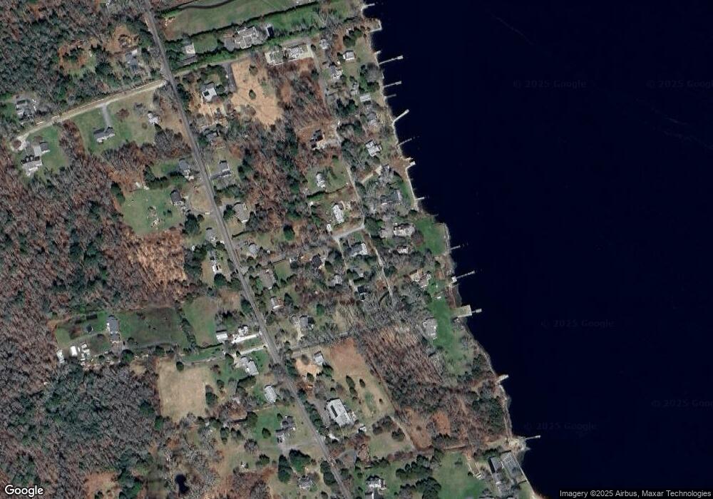
Map
Nearby Homes
- 1380F Drift Rd
- 1380AA Drift Rd
- 1380AA Drift Rd
- 1380A Drift Rd
- 1384 Drift Rd
- 1380B Drift Rd
- 1394 Drift Rd
- 1396 Drift Rd
- 1370 Drift Rd
- 1366 Drift Rd
- 1367 Drift Rd
- 1393 Drift Rd
- 1399 Drift Rd
- 1380 Drift Rd Unit i
- 1380 Drift Rd
- 1380L Drift Rd
- 1380 Drift Rd
- 1380 Drift Rd Unit N
- 1380 Drift Rd
- 1380 Drift Rd Unit H