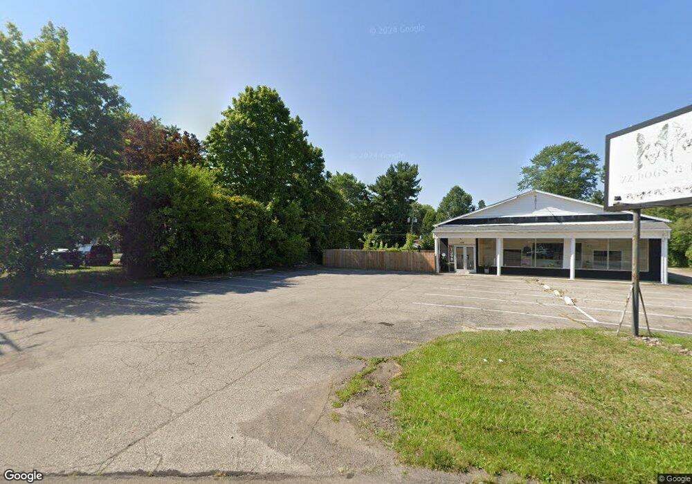
1381 Ashland Rd Mansfield, OH 44905
Estimated Value: $129,938 - $324,000
--
Bed
--
Bath
4,920
Sq Ft
$50/Sq Ft
Est. Value
About This Home
This home is located at 1381 Ashland Rd, Mansfield, OH 44905 and is currently estimated at $244,485, approximately $49 per square foot. 1381 Ashland Rd is a home located in Richland County with nearby schools including Madison High School, St. Mary Catholic School, and Temple-Christian School.
Ownership History
Date
Name
Owned For
Owner Type
Purchase Details
Closed on
Nov 29, 2021
Sold by
Gates Paul R and Gates Shirley Frank
Bought by
Durbridge Stuart D and Durbridge Jill R
Current Estimated Value
Home Financials for this Owner
Home Financials are based on the most recent Mortgage that was taken out on this home.
Original Mortgage
$40,000
Interest Rate
3.05%
Mortgage Type
Future Advance Clause Open End Mortgage
Create a Home Valuation Report for This Property
The Home Valuation Report is an in-depth analysis detailing your home's value as well as a comparison with similar homes in the area
Home Values in the Area
Average Home Value in this Area
Purchase History
| Date | Buyer | Sale Price | Title Company |
|---|---|---|---|
| Durbridge Stuart D | $57,500 | Chicago Title |
Source: Public Records
Mortgage History
| Date | Status | Borrower | Loan Amount |
|---|---|---|---|
| Closed | Durbridge Stuart D | $40,000 |
Source: Public Records
Tax History Compared to Growth
Tax History
| Year | Tax Paid | Tax Assessment Tax Assessment Total Assessment is a certain percentage of the fair market value that is determined by local assessors to be the total taxable value of land and additions on the property. | Land | Improvement |
|---|---|---|---|---|
| 2024 | $5,113 | $57,150 | $12,470 | $44,680 |
| 2023 | $5,113 | $57,150 | $12,470 | $44,680 |
| 2022 | $5,075 | $54,450 | $11,330 | $43,120 |
| 2021 | $5,058 | $54,450 | $11,330 | $43,120 |
| 2020 | $5,080 | $54,450 | $11,330 | $43,120 |
| 2019 | $5,105 | $54,450 | $11,330 | $43,120 |
| 2018 | $4,924 | $54,450 | $11,330 | $43,120 |
| 2017 | $4,706 | $54,450 | $11,330 | $43,120 |
| 2016 | $4,551 | $51,770 | $11,330 | $40,440 |
| 2015 | $4,551 | $51,770 | $11,330 | $40,440 |
| 2014 | $4,407 | $51,770 | $11,330 | $40,440 |
| 2012 | $2,085 | $51,770 | $11,330 | $40,440 |
Source: Public Records
Map
Nearby Homes
- 903 Mayflower Ave
- 1151 Beal Rd
- 1007 Delwood Rd
- 683 Coachman Rd
- 671 Coachman Rd
- 1226 Evergreen Ave W
- 1282 Redman Ave
- 1199 Evergreen Ave W
- 632 Coachman Rd
- 1158 Delwood Rd
- 1183 Evergreen Ave W
- 602 Champion Rd
- 644 Skyline Rd
- 1245 N Stewart Rd
- 536 Gordon Rd
- 1806 Richard Dr
- 735 Pennsylvania Ave
- 419 N Mcelroy Rd
- 1910 Crider Rd
- 588 Michigan Ave
- 1401 Ashland Rd
- 1409 Ashland Rd
- 1405 Ashland Rd Unit 1407
- 1419 Ashland Rd
- 1379 Ashland Rd
- 1373 Ashland Rd
- 1382 Barbara Ln
- 1382 Barbara Ln
- 1360 Barbara Ln
- 1390 Barbara Ln
- 1396 Barbara Ln
- 1378 Ashland Rd
- 1418 Ashland Rd
- 1352 Barbara Ln
- 1346 Barbara Ln
- 1412 Barbara Ln
- 1439 State Route 42
- 1338 Barbara Ln
- 1338 Barbara Ln Unit 1338 Barbara Ln
- 1343 Ashland Rd