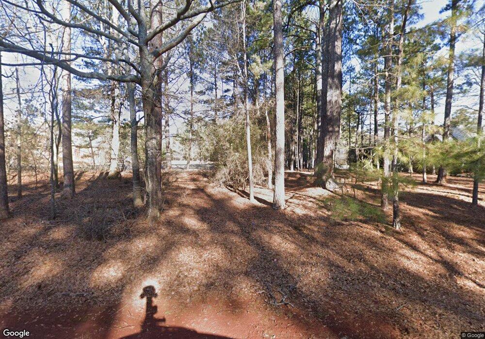
1381 Broadlands Dr Watkinsville, GA 30677
Estimated Value: $841,000 - $1,144,000
--
Bed
--
Bath
4,011
Sq Ft
$245/Sq Ft
Est. Value
About This Home
This home is located at 1381 Broadlands Dr, Watkinsville, GA 30677 and is currently estimated at $980,732, approximately $244 per square foot. 1381 Broadlands Dr is a home located in Oconee County with nearby schools including Oconee County Elementary School, Oconee County Primary School, and Oconee County Middle School.
Ownership History
Date
Name
Owned For
Owner Type
Purchase Details
Closed on
Sep 12, 2022
Sold by
Campbell Jacqueline D
Bought by
Campbell James P and Campbell Jacquelyn D
Current Estimated Value
Purchase Details
Closed on
Nov 17, 2011
Sold by
Campbell Jacqueline D
Bought by
Campbell James P
Home Financials for this Owner
Home Financials are based on the most recent Mortgage that was taken out on this home.
Original Mortgage
$139,110
Interest Rate
4.17%
Mortgage Type
New Conventional
Purchase Details
Closed on
Feb 28, 2003
Sold by
Campbell James P
Bought by
Campbell Jacqueline D
Create a Home Valuation Report for This Property
The Home Valuation Report is an in-depth analysis detailing your home's value as well as a comparison with similar homes in the area
Home Values in the Area
Average Home Value in this Area
Purchase History
| Date | Buyer | Sale Price | Title Company |
|---|---|---|---|
| Campbell James P | -- | -- | |
| Campbell James P | -- | -- | |
| Campbell Jacqueline D | -- | -- |
Source: Public Records
Mortgage History
| Date | Status | Borrower | Loan Amount |
|---|---|---|---|
| Previous Owner | Campbell James P | $139,110 |
Source: Public Records
Tax History Compared to Growth
Tax History
| Year | Tax Paid | Tax Assessment Tax Assessment Total Assessment is a certain percentage of the fair market value that is determined by local assessors to be the total taxable value of land and additions on the property. | Land | Improvement |
|---|---|---|---|---|
| 2024 | $5,822 | $367,335 | $96,000 | $271,335 |
| 2023 | $6,826 | $354,835 | $95,452 | $259,383 |
| 2022 | $5,874 | $275,792 | $95,452 | $180,340 |
| 2021 | $6,012 | $261,702 | $95,452 | $166,250 |
| 2020 | $5,879 | $255,541 | $95,452 | $160,089 |
| 2019 | $5,656 | $245,933 | $95,452 | $150,481 |
| 2018 | $5,726 | $243,730 | $95,452 | $148,278 |
| 2017 | $5,350 | $227,867 | $95,452 | $132,415 |
| 2016 | $5,264 | $224,224 | $95,452 | $128,772 |
| 2015 | $5,257 | $223,472 | $95,452 | $128,020 |
| 2014 | $5,262 | $218,663 | $95,452 | $123,210 |
| 2013 | -- | $212,345 | $95,452 | $116,892 |
Source: Public Records
Map
Nearby Homes
- 1030 Rossiter Ct
- 1040 Rossiter Ct
- 2240 Simonton Bridge Rd
- 1061 Riverside Dr
- 2190 Simonton Bridge Rd
- 2041 Simonton Bridge Rd
- 2061 Simonton Bridge Rd
- 1682 River Bank Ln
- 1010 Overton Way
- 1250 Calls Creek Cir
- 1763 Olympus Ct
- 1051 Simonton Way
- 1320 Katie Ln
- 830 Whitehall Rd
- 1180 Allgood Rd
- 610 Whitehall Rd
- 220 Red Fox Run
- 1145 Watson Ln Unit E3
- 1140 Scotland Bend
- 1180 Scotland Bend Ct
- 1180 Scotland Bend
- 1421 Broadlands Dr
- 9B Scotland Bend Ct
- 1471 Broadlands Dr
- 1561 Broadlands Dr
- 1230 Scotland Bend
- 1230 Scotland Bend
- 1260 Scotland Bend
- 1260 Scotland Bend Ct
- 1131 Scotland Bend
- 1151 Scotland Bend
- 1890 Broadlands Dr
- 1111 Scotland Bend
- 0 Broadlands Dr Unit 8321440
- 0 Broadlands Dr Unit 7374290
- 0 Broadlands Dr Unit 3161516
- 0 Broadlands Dr
- 1111 Scotland Bend Ct
