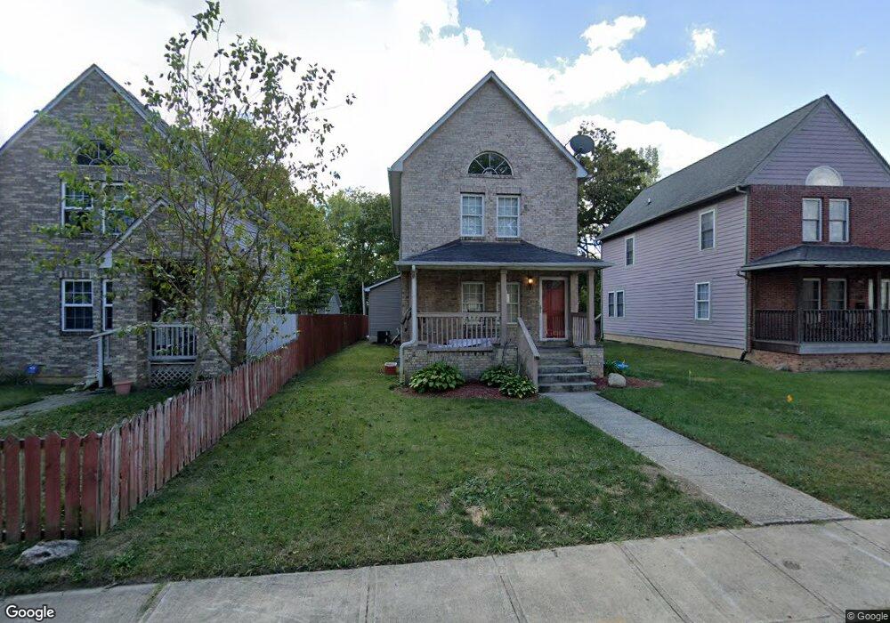
1381 Carrie Ave Columbus, OH 43205
Franklin Park NeighborhoodEstimated Value: $189,000 - $545,000
3
Beds
3
Baths
1,404
Sq Ft
$252/Sq Ft
Est. Value
About This Home
This home is located at 1381 Carrie Ave, Columbus, OH 43205 and is currently estimated at $353,423, approximately $251 per square foot. 1381 Carrie Ave is a home located in Franklin County with nearby schools including Ohio Avenue Elementary School, Champion Middle School, and East High School.
Ownership History
Date
Name
Owned For
Owner Type
Purchase Details
Closed on
Jul 30, 2002
Sold by
Buckeye Community Hope Foundation
Bought by
Mullins Myron E
Current Estimated Value
Home Financials for this Owner
Home Financials are based on the most recent Mortgage that was taken out on this home.
Original Mortgage
$87,310
Outstanding Balance
$37,183
Interest Rate
6.64%
Mortgage Type
FHA
Estimated Equity
$316,240
Purchase Details
Closed on
Mar 17, 2000
Sold by
City Of Columbus Ohio
Bought by
Buckeye Community Hope Foundation
Purchase Details
Closed on
May 23, 1994
Create a Home Valuation Report for This Property
The Home Valuation Report is an in-depth analysis detailing your home's value as well as a comparison with similar homes in the area
Home Values in the Area
Average Home Value in this Area
Purchase History
| Date | Buyer | Sale Price | Title Company |
|---|---|---|---|
| Mullins Myron E | $88,000 | -- | |
| Buckeye Community Hope Foundation | -- | -- | |
| -- | -- | -- |
Source: Public Records
Mortgage History
| Date | Status | Borrower | Loan Amount |
|---|---|---|---|
| Open | Mullins Myron E | $87,310 |
Source: Public Records
Tax History Compared to Growth
Tax History
| Year | Tax Paid | Tax Assessment Tax Assessment Total Assessment is a certain percentage of the fair market value that is determined by local assessors to be the total taxable value of land and additions on the property. | Land | Improvement |
|---|---|---|---|---|
| 2024 | $2,353 | $52,430 | $22,610 | $29,820 |
| 2023 | $2,768 | $62,475 | $22,610 | $39,865 |
| 2022 | $1,912 | $36,860 | $1,750 | $35,110 |
| 2021 | $1,915 | $36,860 | $1,750 | $35,110 |
| 2020 | $1,918 | $36,860 | $1,750 | $35,110 |
| 2019 | $1,862 | $30,700 | $1,440 | $29,260 |
| 2018 | $1,644 | $30,700 | $1,440 | $29,260 |
| 2017 | $1,861 | $30,700 | $1,440 | $29,260 |
| 2016 | $1,575 | $23,770 | $1,820 | $21,950 |
| 2015 | $1,429 | $23,770 | $1,820 | $21,950 |
| 2014 | $1,433 | $23,770 | $1,820 | $21,950 |
| 2013 | $744 | $25,025 | $1,925 | $23,100 |
Source: Public Records
Map
Nearby Homes
- 838 Bryden Rd
- 939 E Rich St
- 1469 E Rich St
- 336 Loeffler Ave
- 347 Kendall Place
- 362 Loeffler Ave
- 1029 Franklin Ave
- 1455 Franklin Ave
- 356 Miller Ave
- 266 Miller Ave Unit 268
- 1318 Oak St
- 374 Wilson Ave Unit 374-76
- 238-240 Miller Ave
- 1230 E Main St
- 1673 E Main St
- 1513 Franklin Ave
- 1217 Franklin Ave Unit 219
- 138 Wilson Ave
- 1258 Oak St
- 1179 E Rich St
- 1385 Carrie Ave
- 1375 Carrie Ave
- 1389 Carrie Ave
- 1371 Carrie Ave
- 1367 Carrie Ave
- 1363 Carrie Ave
- 1361 Carrie Ave Unit 3
- 1376 E Rich St Unit 378
- 1376 E Rich St Unit 2
- 1376 & 78 E Rich St Unit 378
- 1372 E Rich St
- 1380 E Rich St
- 1370 E Rich St
- 1387 Bryden Rd
- 1381 Bryden Rd
- 1391 Bryden Rd
- 1388 E Rich St
- 1364 E Rich St
- 1377 Bryden Rd
- 337 Loeffler Ave