1381 Emmanuel Church Rd Huntingtown, MD 20639
Estimated Value: $544,000 - $834,000
--
Bed
2
Baths
2,669
Sq Ft
$266/Sq Ft
Est. Value
About This Home
This home is located at 1381 Emmanuel Church Rd, Huntingtown, MD 20639 and is currently estimated at $710,083, approximately $266 per square foot. 1381 Emmanuel Church Rd is a home located in Calvert County with nearby schools including Calvert Elementary School, Plum Point Middle School, and Huntingtown High School.
Ownership History
Date
Name
Owned For
Owner Type
Purchase Details
Closed on
May 2, 2024
Sold by
Beall Robert H and Beall Trina L
Bought by
Beall Robert H and Beall Trina L
Current Estimated Value
Purchase Details
Closed on
May 15, 1986
Sold by
Wexford Corp
Bought by
Beall Robert H and Beall Trina L
Home Financials for this Owner
Home Financials are based on the most recent Mortgage that was taken out on this home.
Original Mortgage
$17,000
Interest Rate
10%
Create a Home Valuation Report for This Property
The Home Valuation Report is an in-depth analysis detailing your home's value as well as a comparison with similar homes in the area
Home Values in the Area
Average Home Value in this Area
Purchase History
| Date | Buyer | Sale Price | Title Company |
|---|---|---|---|
| Beall Robert H | -- | None Listed On Document | |
| Beall Robert H | -- | None Listed On Document | |
| Beall Robert H | $20,000 | -- |
Source: Public Records
Mortgage History
| Date | Status | Borrower | Loan Amount |
|---|---|---|---|
| Previous Owner | Beall Robert H | $17,000 |
Source: Public Records
Tax History Compared to Growth
Tax History
| Year | Tax Paid | Tax Assessment Tax Assessment Total Assessment is a certain percentage of the fair market value that is determined by local assessors to be the total taxable value of land and additions on the property. | Land | Improvement |
|---|---|---|---|---|
| 2025 | $7,079 | $635,533 | $0 | $0 |
| 2024 | $6,524 | $584,500 | $180,300 | $404,200 |
| 2023 | $5,964 | $553,400 | $0 | $0 |
| 2022 | $5,638 | $522,300 | $0 | $0 |
| 2021 | $5,268 | $491,200 | $180,300 | $310,900 |
| 2020 | $5,268 | $484,967 | $0 | $0 |
| 2019 | $5,224 | $478,733 | $0 | $0 |
| 2018 | $5,146 | $472,500 | $180,300 | $292,200 |
| 2017 | $4,920 | $444,933 | $0 | $0 |
| 2016 | -- | $417,367 | $0 | $0 |
| 2015 | $3,704 | $389,800 | $0 | $0 |
| 2014 | $3,704 | $389,800 | $0 | $0 |
Source: Public Records
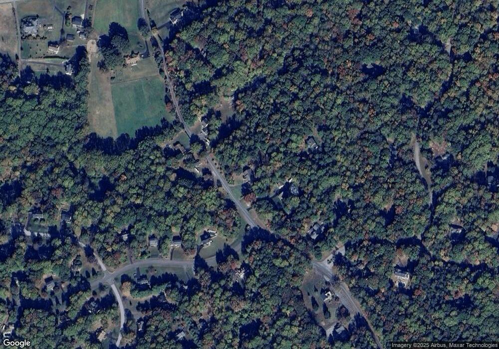
Map
Nearby Homes
- 3120 Queensberry Dr
- 1270 Hollyberry Ct
- 1425 Abbey Ln
- 1412 Bidwell Ln
- 1340 Wilson Rd
- 1070 Claypipe Dr
- 1955 Wilson Rd
- 4308 N Shore Dr
- 3707 Cassell Blvd
- 3605 Samanthas Way
- 5130 Sea Fossil Dr
- 4345 Flora Ave
- 4341 Flora Ave
- 4329 Flora Ave
- 4105 Crest Dr
- 4410 Woodview Ln
- 1719 Lottie Fowler Rd
- 490 Clay Hammond Rd
- 2920 Dares Beach Rd
- 1755 Lottie Fowler Rd
- 1321 Emmanuel Church Rd
- 1390 Emmanuel Church Rd
- 1410 Emmanuel Church Rd
- 1421 Emmanuel Church Rd
- 1351 Emmanuel Church Rd
- 1420 Emmanuel Church Rd
- 3150 Queensberry Dr
- 3620 Hollyberry Dr
- 1401 Emmanuel Church Rd
- 3155 Queensberry Dr
- 3130 Queensberry Dr
- 3650 Hollyberry Dr
- 3149 Queensberry Dr
- 1451 Emmanuel Church Rd
- 1440 Emmanuel Church Rd
- 3125 Queensberry Dr
- 3110 Queensberry Dr
- 3651 Hollyberry Dr
- 1260 Wilson Rd
- 1210 Emmanuel Church Rd