1381 Parrott Trace Unit 8 Greensboro, GA 30642
Estimated Value: $2,335,000 - $3,232,223
4
Beds
6
Baths
3,489
Sq Ft
$759/Sq Ft
Est. Value
About This Home
This home is located at 1381 Parrott Trace Unit 8, Greensboro, GA 30642 and is currently estimated at $2,646,806, approximately $758 per square foot. 1381 Parrott Trace Unit 8 is a home located in Greene County with nearby schools including Greene County High School.
Ownership History
Date
Name
Owned For
Owner Type
Purchase Details
Closed on
May 12, 2020
Sold by
Neyhart Ron
Bought by
Neyhart Ron and Neyhart Kathy
Current Estimated Value
Purchase Details
Closed on
Oct 2, 2015
Sold by
Reynolds Auto Land Llc
Bought by
Neyhart Ron
Purchase Details
Closed on
Dec 18, 2002
Sold by
Cbr-Eat Llc Sale Included Lots
Bought by
Reynolds Auto Land Llc
Purchase Details
Closed on
May 10, 2002
Sold by
Dohallow Donald J and Dohallow Dudiann
Bought by
Cbr-Eat Llc Sale Included Lots
Purchase Details
Closed on
Apr 19, 1999
Sold by
Hagood William M
Bought by
Dohallow Donald J and Dohallow Dudiann
Purchase Details
Closed on
Jun 30, 1993
Sold by
Haver Paul D and Wong Sharon K
Bought by
Hagood William M
Purchase Details
Closed on
Aug 14, 1992
Bought by
Haver Paul D and Wong Sharon K
Create a Home Valuation Report for This Property
The Home Valuation Report is an in-depth analysis detailing your home's value as well as a comparison with similar homes in the area
Home Values in the Area
Average Home Value in this Area
Purchase History
| Date | Buyer | Sale Price | Title Company |
|---|---|---|---|
| Neyhart Ron | -- | -- | |
| Neyhart Ron | $600,000 | -- | |
| Reynolds Auto Land Llc | -- | -- | |
| Cbr-Eat Llc Sale Included Lots | -- | -- | |
| Dohallow Donald J | -- | -- | |
| Hagood William M | $128,000 | -- | |
| Haver Paul D | $123,300 | -- |
Source: Public Records
Tax History Compared to Growth
Tax History
| Year | Tax Paid | Tax Assessment Tax Assessment Total Assessment is a certain percentage of the fair market value that is determined by local assessors to be the total taxable value of land and additions on the property. | Land | Improvement |
|---|---|---|---|---|
| 2024 | $11,903 | $1,106,000 | $435,400 | $670,600 |
| 2023 | $11,627 | $1,051,040 | $405,400 | $645,640 |
| 2022 | $13,296 | $772,800 | $395,400 | $377,400 |
| 2021 | $12,405 | $726,000 | $308,600 | $417,400 |
| 2020 | $8,489 | $401,000 | $178,480 | $222,520 |
| 2019 | $3,953 | $183,080 | $178,480 | $4,600 |
| 2018 | $3,953 | $183,080 | $178,480 | $4,600 |
| 2017 | $3,712 | $183,101 | $178,500 | $4,601 |
| 2016 | $3,713 | $183,101 | $178,500 | $4,601 |
| 2015 | $3,641 | $183,100 | $178,500 | $4,601 |
| 2014 | $3,738 | $183,094 | $178,500 | $4,594 |
Source: Public Records
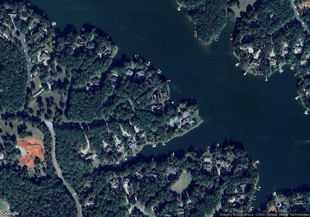
Map
Nearby Homes
- 1330 Parrott Trace
- 1070 & 1080 Cotton Gin Rd
- 1020 Troublesome Creek Ln
- 1000 Troublesome Creek Ln
- 1040 Parrotts Cove Rd
- 1831 Parrotts Pointe Rd
- 1041 Parrotts Cove Rd
- 2071 Flemings Knoll
- 1241 Parrott Trace
- 1010 Monfort Ct
- 1020 Monfort Ct
- 1020 Davison Ln
- 1070 Prosperity Point
- 1070 Prosperity Pointe
- 2701 Parrotts Pointe Rd
- 2631 Parrotts Pointe Rd
- 1011 Cartwright Ln
- 1551 Jackson Ridge Rd
- 1381 Parrott Trace
- 1380 Parrott Trace
- 1361 Parrott Trace
- 1370 Parrott Trace
- 1370 Parrott Trace
- 1351 Parrott Trace
- 1371 Parrott Trace
- 1341 Parrott Trace
- 1350 Parrott Trace
- 1340 Parrott Trace
- 1331 Parrott Trace
- 1021 Troublesome Creek Ln
- 1021 Troublesome Creek Ln Unit 1121 Parrott's Cove
- 1031 Troublesome Creek Ln
- 1321 Parrott Trace
- 1321 Parrott Trace
- 1001 Stocks Ln
- 1041 Troublesome Creek Ln
- 1041 Stocks Ln
- 1070 Cotton Gin Rd