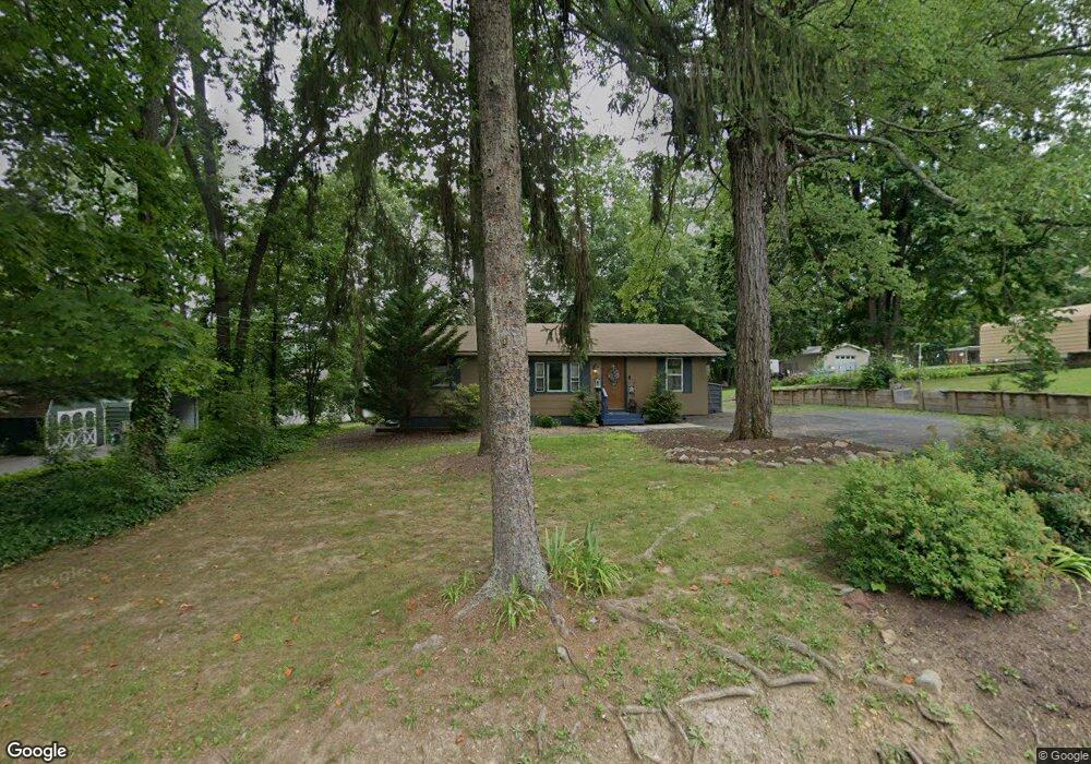
13810 Brant Rd SW Cumberland, MD 21502
Estimated Value: $68,000 - $153,000
--
Bed
1
Bath
816
Sq Ft
$140/Sq Ft
Est. Value
About This Home
This home is located at 13810 Brant Rd SW, Cumberland, MD 21502 and is currently estimated at $114,531, approximately $140 per square foot. 13810 Brant Rd SW is a home located in Allegany County with nearby schools including Cresaptown Elementary School, Braddock Middle School, and Allegany High School.
Ownership History
Date
Name
Owned For
Owner Type
Purchase Details
Closed on
Aug 6, 2018
Sold by
Shaffer Robert Stanley and Shaffer Robert Stanley
Bought by
Shaffer Robert Stanley and Shaffer Tracy Ann
Current Estimated Value
Home Financials for this Owner
Home Financials are based on the most recent Mortgage that was taken out on this home.
Original Mortgage
$56,000
Interest Rate
4.5%
Mortgage Type
Purchase Money Mortgage
Create a Home Valuation Report for This Property
The Home Valuation Report is an in-depth analysis detailing your home's value as well as a comparison with similar homes in the area
Home Values in the Area
Average Home Value in this Area
Purchase History
| Date | Buyer | Sale Price | Title Company |
|---|---|---|---|
| Shaffer Robert Stanley | -- | None Available |
Source: Public Records
Mortgage History
| Date | Status | Borrower | Loan Amount |
|---|---|---|---|
| Closed | Shaffer Robert Stanley | $56,000 |
Source: Public Records
Tax History Compared to Growth
Tax History
| Year | Tax Paid | Tax Assessment Tax Assessment Total Assessment is a certain percentage of the fair market value that is determined by local assessors to be the total taxable value of land and additions on the property. | Land | Improvement |
|---|---|---|---|---|
| 2025 | $765 | $58,100 | $34,800 | $23,300 |
| 2024 | $825 | $56,233 | $0 | $0 |
| 2023 | $591 | $54,367 | $0 | $0 |
| 2022 | $770 | $52,500 | $33,600 | $18,900 |
| 2021 | $763 | $52,500 | $33,600 | $18,900 |
| 2020 | $770 | $52,500 | $33,600 | $18,900 |
| 2019 | $770 | $52,500 | $33,600 | $18,900 |
| 2018 | $770 | $52,500 | $33,600 | $18,900 |
| 2017 | $771 | $52,500 | $0 | $0 |
| 2016 | $832 | $56,600 | $0 | $0 |
| 2015 | $821 | $56,200 | $0 | $0 |
| 2014 | $821 | $55,800 | $0 | $0 |
Source: Public Records
Map
Nearby Homes
- 11813 Illinois Ave
- 14801 Connecticut Ave
- 14129 Louise Dr SW
- 14104 Louise Dr SW
- 14003 Cedarwood Dr SW
- 14619 Redwood St
- 0 Fir Tree Ln Unit MDAL2012106
- 14620 Redwood St
- 14804 Bell St
- 14308L Greenfield Crescent SW
- 15509 Westwood Rd SW
- LOT 127 Howard St
- 14200 Stonefield Ln
- 14716 Howard St
- 15708 Downing St SW
- 14526 Mcmullen Hwy SW
- 15609 Westwood Rd SW
- 15700 Acorn Ct SW
- 14527 Mcmullen Hwy SW
- 14211 Sparrow Ln SW
- 13812 Brant Rd SW
- 13808 Brant Rd SW
- 13811 Illinois Ave
- 13817 Brant Rd SW
- 13819 Brant Rd SW
- 13815 Brant Rd SW
- 13813 Brant Rd SW
- 13807 Illinois Ave
- 13806 Brant Rd SW
- 13814 Illinois Ave
- 13810 Illinois Ave
- 13822 Cecil Ave
- 13816 Brant Rd SW
- 13811 Brant Rd SW
- 14906 Missouri Ave SW
- 13803 Illinois Ave
- 14009 Brant Rd SW
- 13809 Brant Rd SW
- 13804 Illinois Ave
- 13804 Brant Rd SW