13811 State Route 243 Chesapeake, OH 45619
Estimated Value: $360,000 - $454,000
4
Beds
6
Baths
3,000
Sq Ft
$135/Sq Ft
Est. Value
About This Home
This home is located at 13811 State Route 243, Chesapeake, OH 45619 and is currently estimated at $404,252, approximately $134 per square foot. 13811 State Route 243 is a home located in Lawrence County with nearby schools including Chesapeake Elementary School, Chesapeake Middle School, and Chesapeake High School.
Ownership History
Date
Name
Owned For
Owner Type
Purchase Details
Closed on
Feb 17, 2015
Sold by
Dolen Judge and Dolen Jack
Bought by
Hammack Deron John and Hammack Elizabeth Anne
Current Estimated Value
Purchase Details
Closed on
Feb 20, 2014
Sold by
Dolen Judge and Dolen Judge L
Bought by
Dolen Judge L and Dolen Jack L
Home Financials for this Owner
Home Financials are based on the most recent Mortgage that was taken out on this home.
Original Mortgage
$425,601
Interest Rate
4.39%
Mortgage Type
Future Advance Clause Open End Mortgage
Purchase Details
Closed on
Dec 13, 2002
Sold by
Dolen Judge L and Dolen Jacki
Bought by
Dolen Judge L and Dolen Jacki
Create a Home Valuation Report for This Property
The Home Valuation Report is an in-depth analysis detailing your home's value as well as a comparison with similar homes in the area
Home Values in the Area
Average Home Value in this Area
Purchase History
| Date | Buyer | Sale Price | Title Company |
|---|---|---|---|
| Hammack Deron John | $365,000 | None Available | |
| Dolen Judge L | -- | None Available | |
| Dolen Judge L | -- | -- |
Source: Public Records
Mortgage History
| Date | Status | Borrower | Loan Amount |
|---|---|---|---|
| Previous Owner | Dolen Judge L | $425,601 |
Source: Public Records
Tax History Compared to Growth
Tax History
| Year | Tax Paid | Tax Assessment Tax Assessment Total Assessment is a certain percentage of the fair market value that is determined by local assessors to be the total taxable value of land and additions on the property. | Land | Improvement |
|---|---|---|---|---|
| 2024 | -- | $82,100 | $9,040 | $73,060 |
| 2023 | $2,278 | $82,100 | $9,040 | $73,060 |
| 2022 | $2,276 | $82,100 | $9,040 | $73,060 |
| 2021 | $2,051 | $70,300 | $8,480 | $61,820 |
| 2020 | $2,067 | $70,300 | $8,480 | $61,820 |
| 2019 | $2,064 | $70,300 | $8,480 | $61,820 |
| 2018 | $2,078 | $70,300 | $8,480 | $61,820 |
| 2017 | $2,077 | $70,300 | $8,480 | $61,820 |
| 2016 | $1,930 | $70,300 | $8,480 | $61,820 |
| 2015 | $2,063 | $74,550 | $8,500 | $66,050 |
| 2014 | $2,062 | $74,550 | $8,500 | $66,050 |
| 2013 | $2,061 | $74,550 | $8,500 | $66,050 |
Source: Public Records
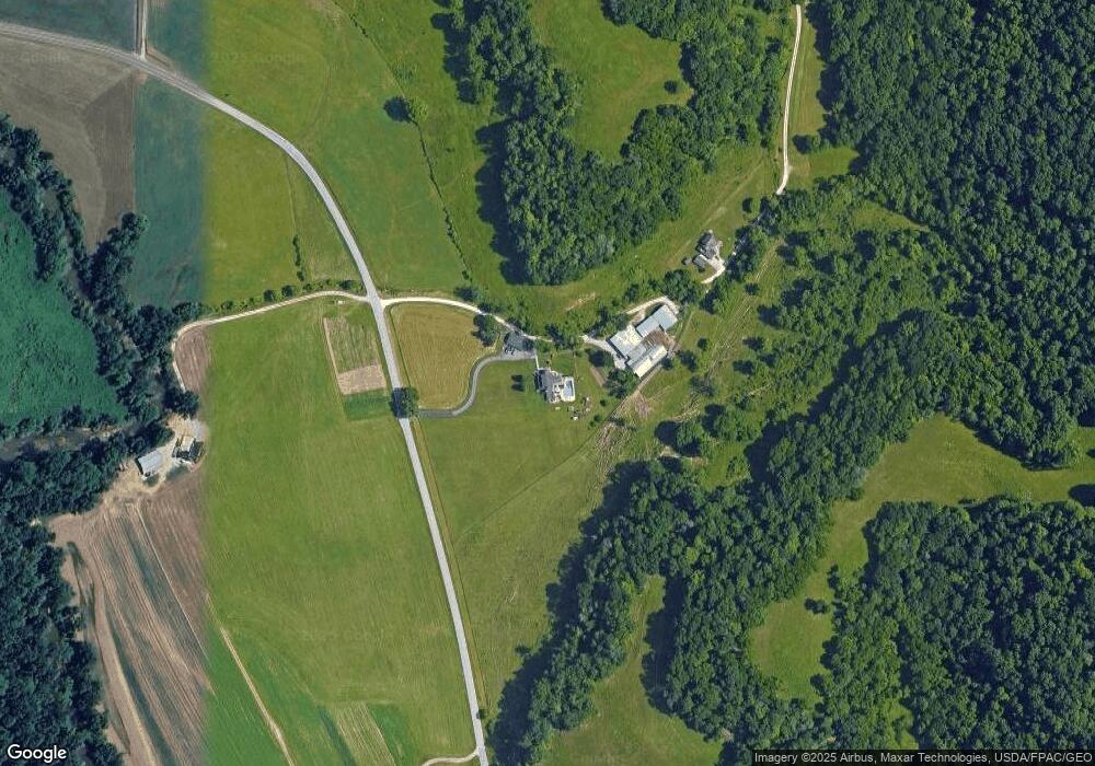
Map
Nearby Homes
- 275 Township Road 118
- 135 Township Road 85 E
- 152 Township Road 1483
- 253 Township Road 1357
- 14 Township Road 1356
- 983 County Road 104
- 101 Township Road 1119
- 3171 County Road 31
- 3493 County Road 31
- 15 Private Dr
- 123 Private Dr
- 1666 County Road 31
- 1334 McKinney Creek-Hesson Hollow Rd N
- 81 Township Road 158
- 301 Township Road 158
- 1334 Township Road 214th N
- 101 Township Road 1199
- 30 Township Road 1482
- 4366 State Route 7
- 60 Township Road 1363
- 14267 State Route 243
- 14 Private Dr
- 20 Private Dr
- 40 Private Dr
- 30 Private Dr Unit 1134
- 70 Private Drive 13439
- 190 Private Dr Unit Township Road 1156
- 100 Private Dr
- 95 Private Dr
- 96 Pvt Rd 232 Twp 85 E
- 96 Private Dr Unit Township Road 85 E
- 96 Private Dr Unit Twp Rd 130A
- 56 Private Dr
- 92 Private Dr
- 9 Private Dr
- 13563 State Route 243
- 84 Private Dr
- 45 Private Dr
- 68 Private Dr
- 25 Private Dr