13812 NE 254th Cir Battle Ground, WA 98604
Estimated Value: $842,000 - $909,365
4
Beds
3
Baths
3,308
Sq Ft
$265/Sq Ft
Est. Value
About This Home
This home is located at 13812 NE 254th Cir, Battle Ground, WA 98604 and is currently estimated at $875,091, approximately $264 per square foot. 13812 NE 254th Cir is a home located in Clark County with nearby schools including Captain Strong Primary School, Chief Umtuch Middle School, and Battle Ground High School.
Ownership History
Date
Name
Owned For
Owner Type
Purchase Details
Closed on
Feb 29, 1996
Sold by
Combs Ralph L and Combs Rachelle H
Bought by
Lushenko Michael J and Lushenko Stacey E
Current Estimated Value
Home Financials for this Owner
Home Financials are based on the most recent Mortgage that was taken out on this home.
Original Mortgage
$41,940
Interest Rate
7.04%
Create a Home Valuation Report for This Property
The Home Valuation Report is an in-depth analysis detailing your home's value as well as a comparison with similar homes in the area
Home Values in the Area
Average Home Value in this Area
Purchase History
| Date | Buyer | Sale Price | Title Company |
|---|---|---|---|
| Lushenko Michael J | $69,900 | Transamerica Title Ins Compa |
Source: Public Records
Mortgage History
| Date | Status | Borrower | Loan Amount |
|---|---|---|---|
| Closed | Lushenko Michael J | $41,940 |
Source: Public Records
Tax History Compared to Growth
Tax History
| Year | Tax Paid | Tax Assessment Tax Assessment Total Assessment is a certain percentage of the fair market value that is determined by local assessors to be the total taxable value of land and additions on the property. | Land | Improvement |
|---|---|---|---|---|
| 2025 | $6,881 | $790,582 | $269,875 | $520,707 |
| 2024 | $6,090 | $784,367 | $269,875 | $514,492 |
| 2023 | $6,835 | $777,362 | $267,500 | $509,862 |
| 2022 | $6,399 | $799,273 | $277,900 | $521,373 |
| 2021 | $6,395 | $694,613 | $237,700 | $456,913 |
| 2020 | $6,009 | $634,008 | $213,580 | $420,428 |
| 2019 | $4,920 | $583,901 | $200,180 | $383,721 |
| 2018 | $5,696 | $547,015 | $0 | $0 |
| 2017 | $4,951 | $484,410 | $0 | $0 |
| 2016 | $4,842 | $457,314 | $0 | $0 |
| 2015 | $4,800 | $412,214 | $0 | $0 |
| 2014 | -- | $389,324 | $0 | $0 |
| 2013 | -- | $350,428 | $0 | $0 |
Source: Public Records
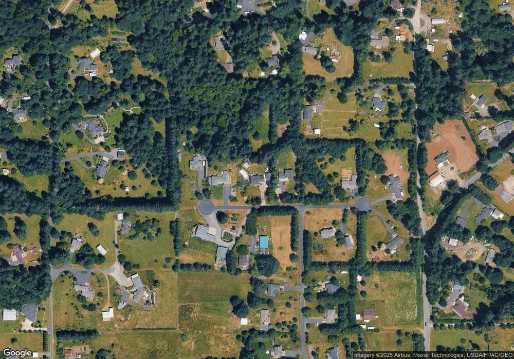
Map
Nearby Homes
- 25009 NE 142nd Ave
- 812 NE 29th Way
- 25113 NE Dublin Rd
- 402 NE 29th St
- 2814 NE 4th Ave
- 2133 NE 4th Ave
- 810 NE 27th St
- 2622 NE 8th Ave
- 2501 NE 7th Dr
- 340 NW 29th St
- 151 NW 30th St
- Cascade Plan at Sterling Ranch
- Cali Plan at Sterling Ranch
- 3039 NW 6th Ave
- 3031 NW 6th Ave
- 3023 NW 6th Ave
- 3015 NW 6th Ave
- 2925 NW 6th Ave
- 18 NW 24th St
- 25600 NE 152nd Ave
- 13800 NE 254th Cir
- 13710 NE 254th Cir
- 13811 NE 254th Cir
- 13713 NE 254th Cir
- 25610 NE 142nd Ave
- 14020 NE 254th Cir
- 14019 NE 254th Cir
- 25208 NE 140th Ave
- 13817 NE 258th St
- 25207 NE 140th Ave
- 25118 NE 140th Ave
- 13518 NE 253rd Cir
- 14100 NE 254th Cir
- 13911 NE 258th St
- 25606 NE 142nd Ave
- 14101 NE 254th Cir
- 25115 NE 140th Ave
- 13519 NE 253rd Cir
- 25603 NE 134th Ave
- 25100 NE 140th Ave