Estimated Value: $210,000 - $293,000
3
Beds
1
Bath
1,288
Sq Ft
$200/Sq Ft
Est. Value
About This Home
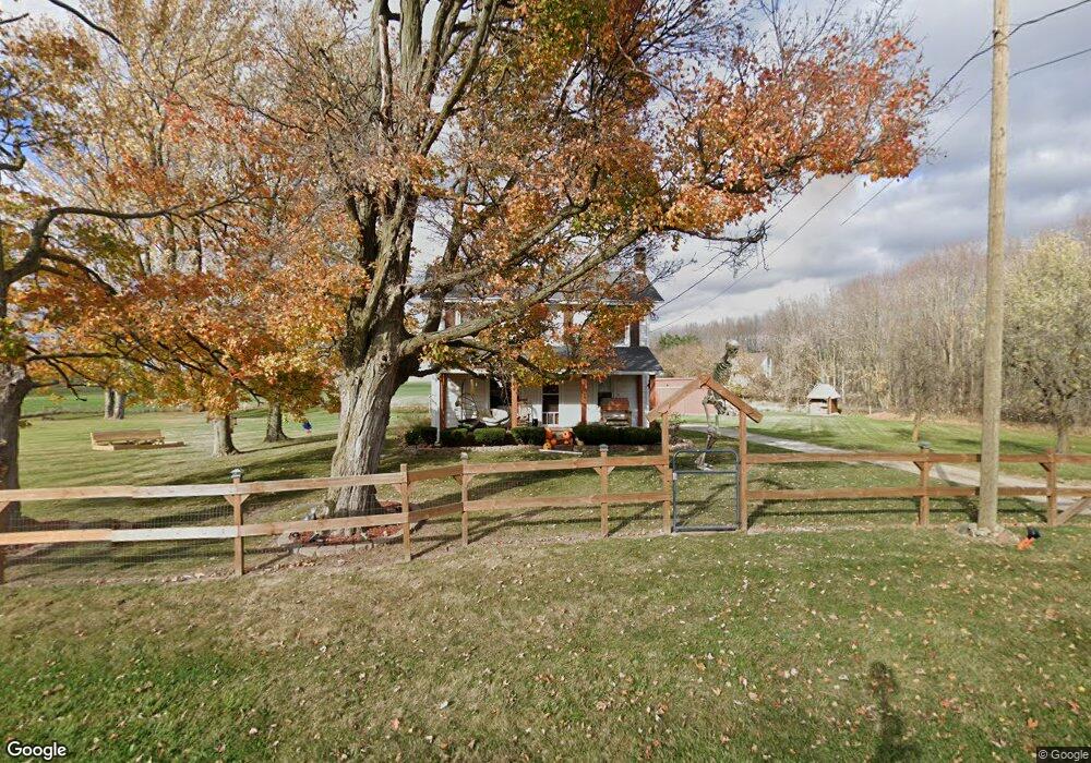
This home is located at 13812 W Howe Rd, Eagle, MI 48822 and is currently estimated at $257,778, approximately $200 per square foot. 13812 W Howe Rd is a home located in Clinton County with nearby schools including Oakwood Elementary School, Westwood Elementary School, and Portland Middle School.
Ownership History
Date
Name
Owned For
Owner Type
Purchase Details
Closed on
Nov 30, 2018
Sold by
Keilen Brandt D and Keilen Kimberly J
Bought by
Seiden Thaddeus J and Seiden Megan A
Current Estimated Value
Home Financials for this Owner
Home Financials are based on the most recent Mortgage that was taken out on this home.
Original Mortgage
$150,575
Outstanding Balance
$132,660
Interest Rate
4.8%
Mortgage Type
New Conventional
Estimated Equity
$125,118
Create a Home Valuation Report for This Property
The Home Valuation Report is an in-depth analysis detailing your home's value as well as a comparison with similar homes in the area
Purchase History
| Date | Buyer | Sale Price | Title Company |
|---|---|---|---|
| Seiden Thaddeus J | $158,500 | None Available |
Source: Public Records
Mortgage History
| Date | Status | Borrower | Loan Amount |
|---|---|---|---|
| Open | Seiden Thaddeus J | $150,575 |
Source: Public Records
Tax History
| Year | Tax Paid | Tax Assessment Tax Assessment Total Assessment is a certain percentage of the fair market value that is determined by local assessors to be the total taxable value of land and additions on the property. | Land | Improvement |
|---|---|---|---|---|
| 2025 | $1,284 | $93,700 | $23,700 | $70,000 |
| 2024 | $8 | $88,300 | $19,900 | $68,400 |
| 2023 | $756 | $84,100 | $0 | $0 |
| 2022 | $1,806 | $71,100 | $20,600 | $50,500 |
| 2021 | $1,752 | $64,900 | $20,000 | $44,900 |
| 2020 | $1,703 | $61,500 | $19,200 | $42,300 |
| 2019 | $1,624 | $57,000 | $18,700 | $38,300 |
| 2018 | $2,137 | $50,800 | $14,490 | $36,310 |
| 2017 | $2,121 | $50,661 | $14,750 | $35,911 |
| 2016 | $2,089 | $48,588 | $12,750 | $35,838 |
| 2015 | $2,083 | $48,618 | $0 | $0 |
| 2011 | -- | $50,300 | $0 | $0 |
Source: Public Records
Map
Nearby Homes
- 11781 W Herbison Rd
- 14507 McCrumb Rd
- 11500 Eden Trail
- 11191 W Chadwick Rd
- 10696 W Clark Rd
- 11471 S Bauer Rd
- 0 Mountainmint Cir Unit 293228
- 11678 E Grand River Ave
- 0 Chicory Ln Unit 292757
- 10829 Peake Rd
- 11830 E Tupper Lake Rd
- 9828 Pheasant Ridge Dr
- 7895 W Herbison Rd
- 0 Saint Johns Chase
- 992 Pennine Ridge Way
- 325 Charlotte Hwy
- 839 Saint Johns Chase
- 815 W Main St
- 702 W Main St
- 4788 Burt Ave
- 13182 W Howe Rd
- 13201 W Howe Rd
- 11930 S Hinman Rd
- 13065 W Howe Rd
- 13049 W Howe Rd
- 11890 S Hinman Rd
- 11989 S Hinman Rd
- 13416 W Howe Rd
- 11882 S Hinman Rd
- 12011 S Hinman Rd
- 13445 W Howe Rd
- 13450 W Howe Rd
- 12262 S Hinman Rd
- 13482 W Howe Rd
- 11175 S Hinman Rd
- 11175 S Hinman Rd
- 0 S Hinman Rd
- 11550 S Hinman Rd
- 12702 W Howe Rd
- 12767 W Howe Rd
Your Personal Tour Guide
Ask me questions while you tour the home.