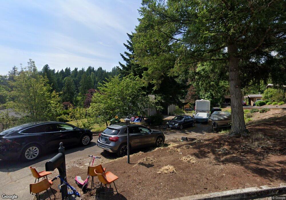
13815 SE Rust Way Damascus, OR 97089
Estimated Value: $691,093 - $877,000
5
Beds
3
Baths
2,932
Sq Ft
$258/Sq Ft
Est. Value
About This Home
This home is located at 13815 SE Rust Way, Damascus, OR 97089 and is currently estimated at $757,273, approximately $258 per square foot. 13815 SE Rust Way is a home located in Clackamas County with nearby schools including Deep Creek - Damascus K-8 School, Sam Barlow High School, and Deep Creek-Damascus K-8 School.
Ownership History
Date
Name
Owned For
Owner Type
Purchase Details
Closed on
Jul 21, 2021
Sold by
Lutz Nancy A
Bought by
Lutz Tybie Jolie
Current Estimated Value
Home Financials for this Owner
Home Financials are based on the most recent Mortgage that was taken out on this home.
Original Mortgage
$460,000
Outstanding Balance
$416,667
Interest Rate
2.93%
Mortgage Type
New Conventional
Estimated Equity
$340,606
Purchase Details
Closed on
Dec 1, 1990
Bought by
Lutz Loren A and Lutz Nancy A
Create a Home Valuation Report for This Property
The Home Valuation Report is an in-depth analysis detailing your home's value as well as a comparison with similar homes in the area
Home Values in the Area
Average Home Value in this Area
Purchase History
| Date | Buyer | Sale Price | Title Company |
|---|---|---|---|
| Lutz Tybie Jolie | $575,000 | First American | |
| Lutz Loren A | $117,000 | -- |
Source: Public Records
Mortgage History
| Date | Status | Borrower | Loan Amount |
|---|---|---|---|
| Open | Lutz Tybie Jolie | $460,000 |
Source: Public Records
Tax History Compared to Growth
Tax History
| Year | Tax Paid | Tax Assessment Tax Assessment Total Assessment is a certain percentage of the fair market value that is determined by local assessors to be the total taxable value of land and additions on the property. | Land | Improvement |
|---|---|---|---|---|
| 2025 | $6,763 | $421,158 | -- | -- |
| 2024 | $6,461 | $408,892 | -- | -- |
| 2023 | $6,461 | $396,983 | $0 | $0 |
| 2022 | $5,927 | $385,421 | $0 | $0 |
| 2021 | $5,380 | $374,196 | $0 | $0 |
| 2020 | $5,230 | $363,298 | $0 | $0 |
| 2019 | $5,104 | $352,717 | $0 | $0 |
| 2018 | $5,173 | $342,444 | $0 | $0 |
| 2017 | $4,964 | $332,470 | $0 | $0 |
| 2016 | $4,215 | $322,786 | $0 | $0 |
| 2015 | $4,800 | $313,384 | $0 | $0 |
| 2014 | $4,684 | $304,256 | $0 | $0 |
Source: Public Records
Map
Nearby Homes
- 15400 SE Barlow Ct
- 12035 SE Wiese Rd
- 12591 SE Staley Ave
- 12650 SE Staley Ave
- 21145 SE Tillstrom Rd
- 20320 SE Walgren Rd
- 23322 SE Bohna Park Rd
- 16003 SE Cielo Ct
- 18680 SE Highway 212
- 14543 SE West Park Ct
- 14120 SE Brent Ave
- 13633 SE 178th Ave
- 18027 SE Emi St
- 19955 SE Tillstrom Rd
- 17000 SE Forest Hill Dr
- 20160 SE Foster Rd
- 14548 SE 172nd Ave
- 0 SE Armstrong Cir
- 17483 SE Acadia St
- 14790 SE 172nd Ave
- 13857 SE Rust Way
- 13785 SE Rust Way
- 13844 SE Rust Way
- 13808 SE Rust Way
- 13755 SE Rust Way
- 13925 SE Rust Way
- 13780 SE Rust Way
- 13722 SE Wiese Rd
- 13762 SE Wiese Rd
- 13880 SE Rust Way
- 13650 SE Wiese Rd
- 13486 SE Wiese Rd
- 13961 SE Rust Way
- 13900 SE Rust Way
- 13820 SE Wiese Rd
- 13624 SE Wiese Rd
- 13940 SE Rust Way
- 13568 SE Wiese Rd
- 13498 SE Wiese Rd
- 13993 SE Rust Way