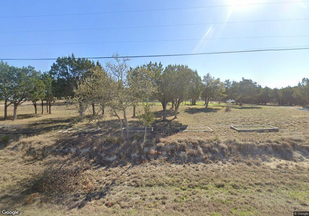
13816 Trail Driver St Austin, TX 78737
Estimated Value: $634,000 - $739,000
--
Bed
--
Bath
1,792
Sq Ft
$385/Sq Ft
Est. Value
About This Home
This home is located at 13816 Trail Driver St, Austin, TX 78737 and is currently estimated at $689,237, approximately $384 per square foot. 13816 Trail Driver St is a home located in Hays County with nearby schools including Dripping Springs Middle School and Dripping Springs High School.
Ownership History
Date
Name
Owned For
Owner Type
Purchase Details
Closed on
Aug 15, 2017
Sold by
Campbell Katie Bennett
Bought by
Campbell Michael W and Campbell Michael Winfield
Current Estimated Value
Home Financials for this Owner
Home Financials are based on the most recent Mortgage that was taken out on this home.
Original Mortgage
$288,000
Outstanding Balance
$240,766
Interest Rate
4.03%
Mortgage Type
Stand Alone First
Estimated Equity
$448,471
Purchase Details
Closed on
Mar 13, 2000
Sold by
Campbell Scot D
Bought by
Campbell Michael W and Campbell Katie
Purchase Details
Closed on
Oct 18, 1997
Sold by
Redlien Peter J
Bought by
Campbell Michael W and Campbell Katie
Purchase Details
Closed on
Nov 28, 1995
Sold by
Reid Randal R and Reid Jack E
Bought by
Campbell Michael W and Campbell Katie
Create a Home Valuation Report for This Property
The Home Valuation Report is an in-depth analysis detailing your home's value as well as a comparison with similar homes in the area
Home Values in the Area
Average Home Value in this Area
Purchase History
| Date | Buyer | Sale Price | Title Company |
|---|---|---|---|
| Campbell Michael W | -- | Independence Title Co | |
| Campbell Michael W | -- | -- | |
| Campbell Michael W | -- | -- | |
| Campbell Michael W | -- | -- |
Source: Public Records
Mortgage History
| Date | Status | Borrower | Loan Amount |
|---|---|---|---|
| Open | Campbell Michael W | $288,000 |
Source: Public Records
Tax History Compared to Growth
Tax History
| Year | Tax Paid | Tax Assessment Tax Assessment Total Assessment is a certain percentage of the fair market value that is determined by local assessors to be the total taxable value of land and additions on the property. | Land | Improvement |
|---|---|---|---|---|
| 2025 | $6,134 | $510,435 | -- | -- |
| 2024 | $6,134 | $464,032 | $409,310 | $261,610 |
| 2023 | $6,370 | $421,847 | $409,310 | $341,560 |
| 2022 | $6,541 | $383,497 | $282,700 | $300,070 |
| 2021 | $6,523 | $348,634 | $104,370 | $300,190 |
| 2020 | $5,574 | $316,940 | $59,640 | $257,300 |
| 2019 | $6,098 | $295,710 | $46,220 | $249,490 |
| 2018 | $5,836 | $281,430 | $46,220 | $235,210 |
| 2017 | $5,506 | $263,500 | $46,220 | $217,280 |
| 2016 | $5,222 | $249,920 | $46,220 | $203,700 |
| 2015 | $4,478 | $238,810 | $46,220 | $192,590 |
Source: Public Records
Map
Nearby Homes
- 12904 Wells Fargo St
- 13400 Paisano Trail
- 5 Midnight Sky Dr
- 13590 Paisano Trail
- 4 Midnight Sky Dr
- 13601 Paisano Trail
- 12600 Trail Driver St
- 190 Carol Ann Dr
- 13601 Paisano Cir
- 12609 Pauls Valley Rd
- 400 Sundown Ridge
- 301 Sea Hero Place
- 156 Sea Hero Place
- 13326 Trautwein Rd
- 12621 Fitzhugh Rd
- 12290 Trautwein Rd
- 13005 D Fitzhugh Rd
- 14610 Fitzhugh Rd
- 16 Tall Oaks Trail
- TBD Fitzhugh Rd
- 13820 Trail Driver St
- 13808 Trail Driver St
- 13100 Wells Fargo St
- 13008 Wells Fargo St
- 13008 Wells Fargo Trail
- 13910 Trail Driver St
- 13104 Wells Fargo St
- 13104 Wells Fargo Trail
- 13800 Trail Driver
- 13009 Wells Fargo St
- 13004 Wells Fargo St
- 13833 Trail Driver
- 13833 Trail Driver St
- 14000 Trail Driver St
- 13901 Trail Driver St
- 13718 Trail Driver St
- 13108 Wells Fargo St
- 13101 Wells Fargo St
- 13917 Trail Driver St
- 13721 Trail Driver St