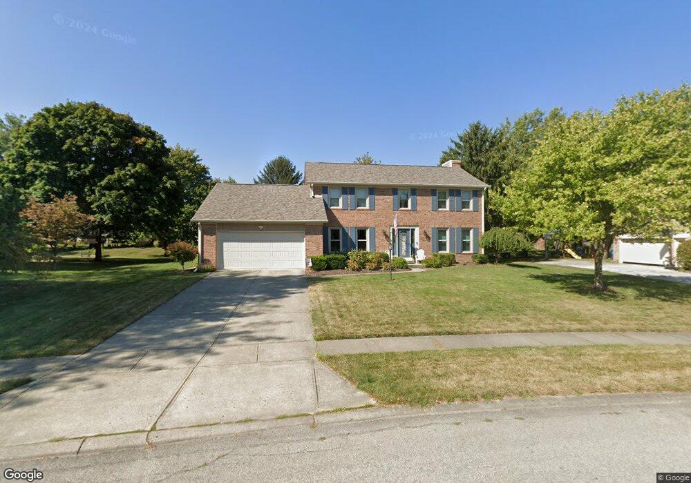
13818 Scott Dr Carmel, IN 46032
West Carmel NeighborhoodEstimated Value: $472,351 - $505,000
4
Beds
3
Baths
2,477
Sq Ft
$196/Sq Ft
Est. Value
About This Home
This home is located at 13818 Scott Dr, Carmel, IN 46032 and is currently estimated at $486,088, approximately $196 per square foot. 13818 Scott Dr is a home located in Hamilton County with nearby schools including Carmel Elementary School, Carmel Middle School, and Carmel High School.
Ownership History
Date
Name
Owned For
Owner Type
Purchase Details
Closed on
Jun 30, 2011
Sold by
Anderson Jeffrey J and Anderson Aimee
Bought by
Storrs Tyrone S and Storrs Brooke L
Current Estimated Value
Home Financials for this Owner
Home Financials are based on the most recent Mortgage that was taken out on this home.
Original Mortgage
$114,494
Outstanding Balance
$3,320
Interest Rate
3.82%
Mortgage Type
New Conventional
Estimated Equity
$482,768
Purchase Details
Closed on
Nov 3, 2009
Sold by
Anderson Jeffery J and Anderson Aimie
Bought by
Anderson Jeffrey J and Anderson Aimee
Home Financials for this Owner
Home Financials are based on the most recent Mortgage that was taken out on this home.
Original Mortgage
$168,000
Interest Rate
4.9%
Mortgage Type
New Conventional
Create a Home Valuation Report for This Property
The Home Valuation Report is an in-depth analysis detailing your home's value as well as a comparison with similar homes in the area
Home Values in the Area
Average Home Value in this Area
Purchase History
| Date | Buyer | Sale Price | Title Company |
|---|---|---|---|
| Storrs Tyrone S | -- | None Available | |
| Anderson Jeffrey J | -- | None Available |
Source: Public Records
Mortgage History
| Date | Status | Borrower | Loan Amount |
|---|---|---|---|
| Open | Storrs Tyrone S | $114,494 | |
| Previous Owner | Anderson Jeffrey J | $168,000 |
Source: Public Records
Tax History
| Year | Tax Paid | Tax Assessment Tax Assessment Total Assessment is a certain percentage of the fair market value that is determined by local assessors to be the total taxable value of land and additions on the property. | Land | Improvement |
|---|---|---|---|---|
| 2025 | $3,877 | $362,700 | $92,000 | $270,700 |
| 2024 | $3,295 | $356,500 | $92,000 | $264,500 |
| 2023 | $3,320 | $320,400 | $74,400 | $246,000 |
| 2022 | $3,147 | $279,700 | $74,400 | $205,300 |
| 2021 | $2,704 | $243,900 | $74,400 | $169,500 |
| 2020 | $2,888 | $257,500 | $81,200 | $176,300 |
| 2019 | $2,659 | $244,100 | $52,100 | $192,000 |
| 2018 | $2,622 | $243,200 | $52,100 | $191,100 |
| 2017 | $2,491 | $232,000 | $52,100 | $179,900 |
| 2016 | $3,689 | $222,000 | $52,100 | $169,900 |
| 2014 | $2,075 | $208,100 | $49,800 | $158,300 |
| 2013 | $2,075 | $206,500 | $49,800 | $156,700 |
Source: Public Records
Map
Nearby Homes
- 792 Grace Dr
- 229 E Village Dr
- 233 Boulder Ct
- 851 Ashdown Ln
- 445 Mariposa Trail
- 222 Boulder Ct
- 429 Thornberry Dr
- 210 Rockberry Dr
- 232 John St
- 84 Bennett Rd
- 14138 Adios Pass
- 994 2nd Ave NW
- 124 9th St NW
- 781 1st Ave NW
- 44 Rogers Rd
- 14850 Legacy Oaks Dr
- 610 N Rangeline Rd
- 1459 Stonemill Cir N
- 70 Guilford Trail Dr Unit 1
- 1017 W Main St Unit 304
- 13824 Scott Dr
- 13812 Scott Dr
- 13815 Roswell Dr
- 13805 Roswell Dr
- 13827 Roswell Dr
- 13817 Scott Dr
- 13825 Scott Dr
- 13806 Scott Dr
- 13795 Roswell Dr
- 13836 Scott Dr
- 13868 Perrin Dr
- 13816 Roswell Dr
- 13809 Scott Dr
- 13804 Roswell Dr
- 13828 Roswell Dr
- 13783 Roswell Dr
- 13784 Perrin Dr
- 13876 Perrin Dr
- 13796 Roswell Dr
- 935 Nevelle Ln
Your Personal Tour Guide
Ask me questions while you tour the home.