1382 Cranes Bill Way Woodbridge, VA 22191
Marumsco Woods NeighborhoodEstimated Value: $522,268 - $569,000
3
Beds
2
Baths
1,774
Sq Ft
$307/Sq Ft
Est. Value
About This Home
This home is located at 1382 Cranes Bill Way, Woodbridge, VA 22191 and is currently estimated at $545,067, approximately $307 per square foot. 1382 Cranes Bill Way is a home located in Prince William County with nearby schools including Leesylvania Elementary School, Rippon Middle School, and Freedom High School.
Ownership History
Date
Name
Owned For
Owner Type
Purchase Details
Closed on
Jan 28, 2003
Sold by
Nvr Inc
Bought by
Federinko Francis
Current Estimated Value
Home Financials for this Owner
Home Financials are based on the most recent Mortgage that was taken out on this home.
Original Mortgage
$239,052
Outstanding Balance
$103,574
Interest Rate
6.11%
Mortgage Type
VA
Estimated Equity
$441,493
Purchase Details
Closed on
Sep 10, 2002
Sold by
Riverside Assocs Llc
Bought by
N V R Inc
Create a Home Valuation Report for This Property
The Home Valuation Report is an in-depth analysis detailing your home's value as well as a comparison with similar homes in the area
Home Values in the Area
Average Home Value in this Area
Purchase History
| Date | Buyer | Sale Price | Title Company |
|---|---|---|---|
| Federinko Francis | $234,365 | -- | |
| N V R Inc | $276,000 | -- |
Source: Public Records
Mortgage History
| Date | Status | Borrower | Loan Amount |
|---|---|---|---|
| Open | Federinko Francis | $239,052 |
Source: Public Records
Tax History Compared to Growth
Tax History
| Year | Tax Paid | Tax Assessment Tax Assessment Total Assessment is a certain percentage of the fair market value that is determined by local assessors to be the total taxable value of land and additions on the property. | Land | Improvement |
|---|---|---|---|---|
| 2025 | $4,856 | $508,400 | $179,400 | $329,000 |
| 2024 | $4,856 | $488,300 | $172,500 | $315,800 |
| 2023 | $4,778 | $459,200 | $161,200 | $298,000 |
| 2022 | $4,777 | $422,700 | $147,900 | $274,800 |
| 2021 | $4,512 | $369,100 | $128,600 | $240,500 |
| 2020 | $5,521 | $356,200 | $123,700 | $232,500 |
| 2019 | $5,360 | $345,800 | $120,100 | $225,700 |
| 2018 | $4,032 | $333,900 | $115,400 | $218,500 |
| 2017 | $4,043 | $327,400 | $112,600 | $214,800 |
| 2016 | $3,976 | $325,000 | $111,500 | $213,500 |
| 2015 | $3,673 | $309,900 | $105,700 | $204,200 |
| 2014 | $3,673 | $293,300 | $99,700 | $193,600 |
Source: Public Records
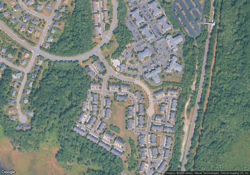
Map
Nearby Homes
- 1463 Fawn Hollow Ln
- 1601 Ladue Ct Unit 402
- 1621 Ladue Ct Unit 207
- 1621 Ladue Ct Unit 105
- 15678 Avocet Loop
- 1317 Rail Stop Dr
- 15636 Avocet Loop
- 15489 Marsh Overlook Dr
- 15417 Bald Eagle Ln
- 15538 Smoke Box Way
- 15356 Bald Eagle Ln
- 15214 Colorado Ave
- 16254 Neabsco Beach Way
- 1766 Ann Scarlet Ct
- 1508 Florida Ave
- 15381 Grist Mill Terrace
- 15361 Grist Mill Terrace
- 15353 Grist Mill Terrace
- 15116 Alaska Rd
- 15030 Alabama Ave
- 1384 Cranes Bill Way
- 1380 Cranes Bill Way
- 1378 Cranes Bill Way
- 1386 Cranes Bill Way
- 1376 Cranes Bill Way
- 1390 Cranes Bill Way
- 1392 Cranes Bill Way
- 1394 Cranes Bill Way
- 1381 Cranes Bill Way
- 1383 Cranes Bill Way
- 1379 Cranes Bill Way
- 1385 Cranes Bill Way
- 1396 Cranes Bill Way
- 1387 Cranes Bill Way
- 1389 Cranes Bill Way
- 1372 Cranes Bill Way
- 1398 Cranes Bill Way
- 1370 Cranes Bill Way
- 1400 Cranes Bill Way
- 1368 Cranes Bill Way