13820 Union Ave NE Alliance, OH 44601
Estimated Value: $116,000 - $193,114
2
Beds
1
Bath
10,910
Sq Ft
$14/Sq Ft
Est. Value
About This Home
This home is located at 13820 Union Ave NE, Alliance, OH 44601 and is currently estimated at $152,705, approximately $13 per square foot. 13820 Union Ave NE is a home located in Stark County with nearby schools including Marlington High School.
Ownership History
Date
Name
Owned For
Owner Type
Purchase Details
Closed on
May 4, 2022
Sold by
Krueck Melana Mui Ying Chan
Bought by
Brogan James L and Krueck Melana Mui
Current Estimated Value
Purchase Details
Closed on
Jul 30, 2021
Sold by
Barber Forrest A and Barber Patricia S
Bought by
Brogan James L
Purchase Details
Closed on
Oct 27, 2003
Sold by
Barber Forrest A and Barber Patricia S
Bought by
Cironi David N and Cironi Mary L
Create a Home Valuation Report for This Property
The Home Valuation Report is an in-depth analysis detailing your home's value as well as a comparison with similar homes in the area
Home Values in the Area
Average Home Value in this Area
Purchase History
| Date | Buyer | Sale Price | Title Company |
|---|---|---|---|
| Brogan James L | $42,600 | Heritage Union Title | |
| Brogan James L | $50,600 | Heritage Union Title | |
| Brogan James L | $88,096 | None Available | |
| Cironi David N | -- | Union Title Co |
Source: Public Records
Tax History Compared to Growth
Tax History
| Year | Tax Paid | Tax Assessment Tax Assessment Total Assessment is a certain percentage of the fair market value that is determined by local assessors to be the total taxable value of land and additions on the property. | Land | Improvement |
|---|---|---|---|---|
| 2025 | -- | $64,160 | $39,870 | $24,290 |
| 2024 | -- | $64,160 | $39,870 | $24,290 |
| 2023 | $1,202 | $24,150 | $7,490 | $16,660 |
| 2022 | $1,216 | $24,150 | $7,490 | $16,660 |
| 2021 | $559 | $35,390 | $7,530 | $27,860 |
| 2020 | $1,705 | $32,170 | $6,830 | $25,340 |
| 2019 | $1,699 | $32,200 | $6,830 | $25,370 |
| 2018 | $1,657 | $32,200 | $6,830 | $25,370 |
| 2017 | $1,648 | $28,270 | $5,880 | $22,390 |
| 2016 | $5,457 | $28,270 | $5,880 | $22,390 |
| 2015 | $1,686 | $28,270 | $5,880 | $22,390 |
| 2014 | $1,622 | $27,140 | $5,640 | $21,500 |
| 2013 | $789 | $27,140 | $5,640 | $21,500 |
Source: Public Records
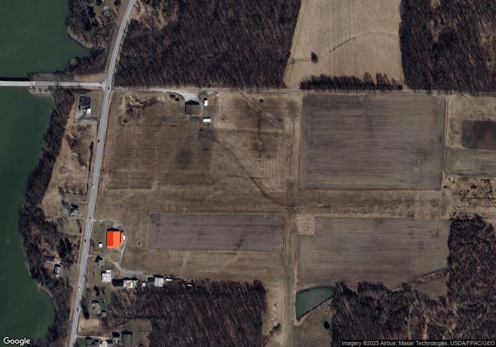
Map
Nearby Homes
- 0 Knoll St NE
- 15520 Coalbank St NE
- 15789 Coalbank St NE
- 13975 Greenbower St NE
- 14723 Bolton St NE
- 15995 Elbrook St NE
- 14422 Sturbridge Rd NE
- 11344 Walnut Ave NE
- 15832 Waverly St NE
- 7374 Virginia Rd
- 0 Johnson Ave NE Unit 5142926
- 11310 Webb Ave NE
- 0 Homestead Ave NE
- 0 Klinger Ave NE
- 0 Meadowbrook Ave
- 20871 N Benton Rd W
- 13109 Edison St NE
- 652 N Webb Ave
- 11480 Aebi Ave NE
- 124 E Wayne St
- 13801 Union Ave NE
- 13871 Union Ave NE
- 13770 Union Ave NE
- 13725 Union Ave NE
- 14008 Union Ave NE
- 13685 Union Ave NE
- 13624 Union Ave NE
- 14112 Union Ave NE
- 14125 Union Ave NE
- 15625 Greenbower St NE
- 13554 Union Ave NE
- 14141 Union Ave NE
- 15647 Greenbower St NE
- 14232 Union Ave NE
- 15544 Lowe Rd NE
- 15578 Lowe Rd NE
- 13425 Union Ave NE
- 13381 Union Ave NE
- 15687 Greenbower St NE
- 15643 Lowe Rd NE