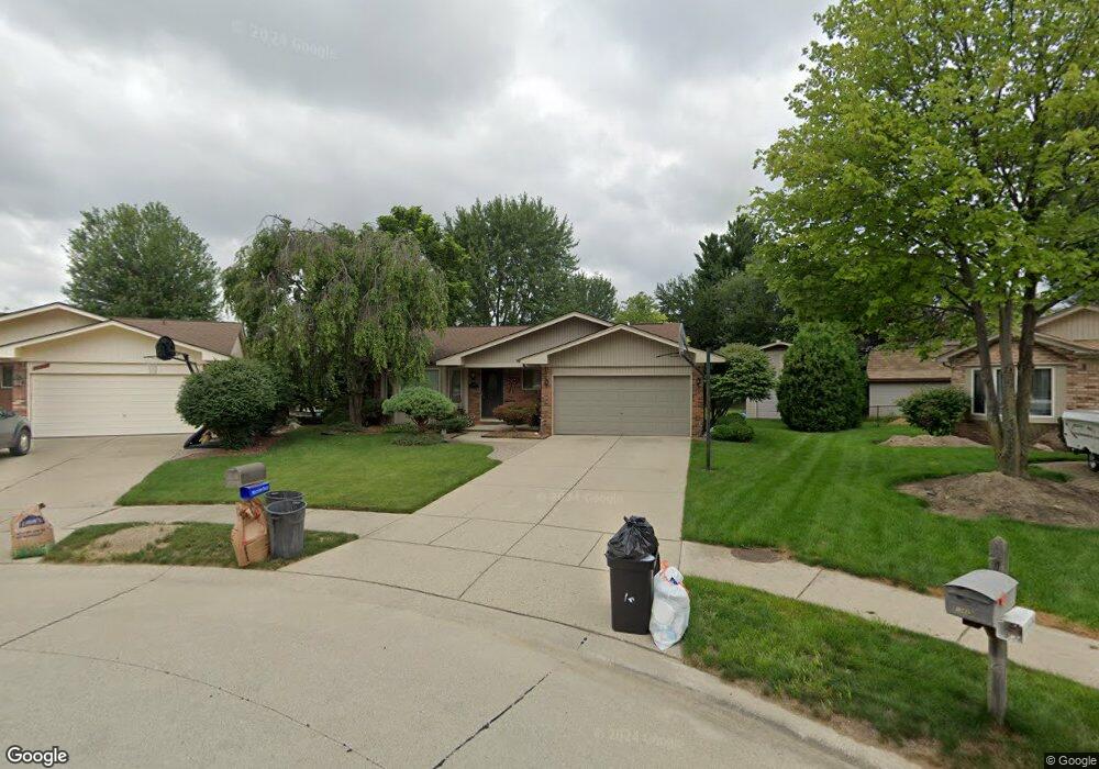
13823 Gale Ct Sterling Heights, MI 48313
Estimated Value: $350,365 - $389,000
--
Bed
2
Baths
1,647
Sq Ft
$229/Sq Ft
Est. Value
About This Home
This home is located at 13823 Gale Ct, Sterling Heights, MI 48313 and is currently estimated at $376,591, approximately $228 per square foot. 13823 Gale Ct is a home located in Macomb County with nearby schools including Graebner Elementary School, Bemis Junior High School, and Henry Ford II High School.
Ownership History
Date
Name
Owned For
Owner Type
Purchase Details
Closed on
Dec 21, 2020
Sold by
Hautala Jeffrey Scott and Hautala Madonna Ruth
Bought by
Hyland Sean and Hyland Celina
Current Estimated Value
Home Financials for this Owner
Home Financials are based on the most recent Mortgage that was taken out on this home.
Original Mortgage
$260,000
Outstanding Balance
$231,890
Interest Rate
2.8%
Mortgage Type
New Conventional
Estimated Equity
$144,701
Purchase Details
Closed on
May 7, 2001
Sold by
Larson Peter J
Bought by
Hautala Jeffrey S
Create a Home Valuation Report for This Property
The Home Valuation Report is an in-depth analysis detailing your home's value as well as a comparison with similar homes in the area
Home Values in the Area
Average Home Value in this Area
Purchase History
| Date | Buyer | Sale Price | Title Company |
|---|---|---|---|
| Hyland Sean | $289,700 | Liberty Title | |
| Hautala Jeffrey S | $218,000 | -- |
Source: Public Records
Mortgage History
| Date | Status | Borrower | Loan Amount |
|---|---|---|---|
| Open | Hyland Sean | $260,000 |
Source: Public Records
Tax History Compared to Growth
Tax History
| Year | Tax Paid | Tax Assessment Tax Assessment Total Assessment is a certain percentage of the fair market value that is determined by local assessors to be the total taxable value of land and additions on the property. | Land | Improvement |
|---|---|---|---|---|
| 2025 | $5,462 | $180,700 | $0 | $0 |
| 2024 | $4,994 | $171,200 | $0 | $0 |
| 2023 | $4,715 | $156,000 | $0 | $0 |
| 2022 | $4,915 | $139,500 | $0 | $0 |
| 2021 | $4,814 | $124,800 | $0 | $0 |
| 2020 | $2,806 | $112,300 | $0 | $0 |
| 2019 | $2,875 | $111,300 | $0 | $0 |
| 2018 | $2,910 | $101,600 | $0 | $0 |
| 2017 | $2,705 | $96,100 | $18,500 | $77,600 |
| 2016 | $2,614 | $96,100 | $0 | $0 |
| 2015 | -- | $87,200 | $0 | $0 |
| 2014 | -- | $72,000 | $0 | $0 |
Source: Public Records
Map
Nearby Homes
- 13980 Amanda Dr
- 13374 Wessel Ct
- 13431 Melanie Dr
- 14289 Hope Dr
- 14160 Alpena Dr
- 14239 Alpena Dr
- 13689 Ridgepoint Dr
- 41222 Paign Dr
- 42917 Freeport Dr
- 14554 Alma Dr
- 13299 Jennilynn Ln
- 42708 Wilmington Dr
- 42633 Park Cresent Dr Unit 35
- 42640 Park Cresent Dr
- 43216 Pendleton Cir Unit 63
- 42811 Wilmington Dr
- 12646 Bender Dr
- 12840 19 Mile Rd
- 13994 Billette Dr
- 14548 Holborn Dr Unit 24
- 13835 Gale Ct
- 13811 Gale Ct
- 41974 Twining Dr
- 41962 Twining Dr
- 13786 Fernbrook Ct
- 41950 Twining Dr
- 13847 Gale Ct
- 42012 Twining Dr
- 13778 Fernbrook Ct
- 13743 Amanda Dr
- 13755 Amanda Dr
- 13731 Amanda Dr
- 13794 Fernbrook Ct
- 42024 Twining Dr
- 13719 Amanda Dr
- 13859 Gale Ct
- 13770 Fernbrook Ct
- 13802 Fernbrook Ct
- 13907 Amanda Dr
- 42036 Twining Dr