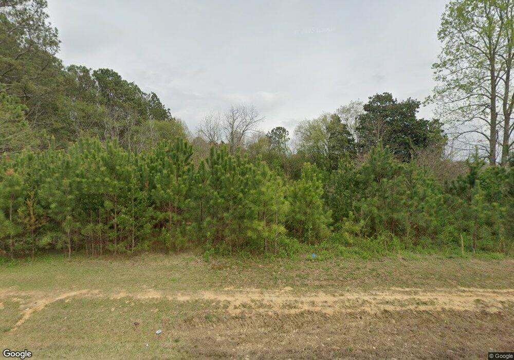
Estimated Value: $86,608 - $276,000
--
Bed
1
Bath
1,316
Sq Ft
$134/Sq Ft
Est. Value
About This Home
This home is located at 13825 Highway 151, Trion, GA 30753 and is currently estimated at $175,902, approximately $133 per square foot. 13825 Highway 151 is a home with nearby schools including Naomi Elementary School, Lafayette Middle School, and Lafayette High School.
Ownership History
Date
Name
Owned For
Owner Type
Purchase Details
Closed on
Jul 11, 2012
Sold by
Hawes Carol Dale
Bought by
Hawes Carol Dale and Gasaway Phillip Shane
Current Estimated Value
Purchase Details
Closed on
Feb 22, 1994
Sold by
Lecompte Carol Dale and Lecompte Richard
Bought by
Lecompte Carol Dale
Purchase Details
Closed on
Jun 1, 1973
Sold by
Johnson Pauline and Johnson James V
Bought by
Lecompte Carol Dale and Lecompte Richard
Purchase Details
Closed on
Jun 15, 1965
Bought by
Johnson Pauline and Johnson James V
Create a Home Valuation Report for This Property
The Home Valuation Report is an in-depth analysis detailing your home's value as well as a comparison with similar homes in the area
Home Values in the Area
Average Home Value in this Area
Purchase History
| Date | Buyer | Sale Price | Title Company |
|---|---|---|---|
| Hawes Carol Dale | -- | -- | |
| Lecompte Carol Dale | -- | -- | |
| Lecompte Carol Dale | -- | -- | |
| Johnson Pauline | -- | -- |
Source: Public Records
Tax History Compared to Growth
Tax History
| Year | Tax Paid | Tax Assessment Tax Assessment Total Assessment is a certain percentage of the fair market value that is determined by local assessors to be the total taxable value of land and additions on the property. | Land | Improvement |
|---|---|---|---|---|
| 2024 | $557 | $18,352 | $18,352 | $0 |
| 2023 | $486 | $14,565 | $14,565 | $0 |
| 2022 | $281 | $6,403 | $6,403 | $0 |
| 2021 | $297 | $6,403 | $6,403 | $0 |
| 2020 | $303 | $6,403 | $6,403 | $0 |
| 2019 | $306 | $6,403 | $6,403 | $0 |
| 2018 | $169 | $6,403 | $6,403 | $0 |
| 2017 | $191 | $6,403 | $6,403 | $0 |
| 2016 | $554 | $19,338 | $6,403 | $12,935 |
| 2015 | $600 | $20,058 | $6,120 | $13,938 |
| 2014 | $521 | $20,058 | $6,120 | $13,938 |
| 2013 | -- | $20,058 | $6,120 | $13,938 |
Source: Public Records
Map
Nearby Homes
- 0 S Hwy 27 Unit 10254661
- 0 S Hwy 27 Unit 7688716
- 7839 Trion Hwy
- 1570 Halls Valley Rd
- 2891 Halls Valley Rd
- 151 Airport Rd
- 123 Airport Rd
- 14 Hollis Ln
- 64 Hollis Ln
- 57 Hollis Ln
- 45 Hollis Ln
- 0 Hwy 27 Unit 1524193
- 0 Martindale Rd Unit 10608820
- 0 Martindale Rd Unit 1520834
- 1144 Ridgeway Rd
- 1511 Monroe Green Rd
- 434 Farm Rd
- 0 Ridgeway Rd Unit 1524463
- 17278 Highway 27
- 1908 Old Highway 27
- 13780 Highway 151
- 13835 Highway 151
- 13999 Georgia 151
- 167 Honeysuckle Dr
- 13999 Highway 151
- 18 Honeysuckle Dr
- 237 Honeysuckle Dr
- 327 Honeysuckle Dr
- 14095 Highway 151
- 6670 S Highway 27
- 13530 Highway 151
- 36 Ramey Rd
- 6864 S Highway 27
- 153 Gowans Rd
- 14151 Highway 151
- 0 Ramey Rd
- 0 Ramey Rd Unit 1186750
- 0 Ramey Rd Unit 1140689
- 0 Ramey Rd Unit 1114613
- 0 Ramey Rd Unit 1090943
