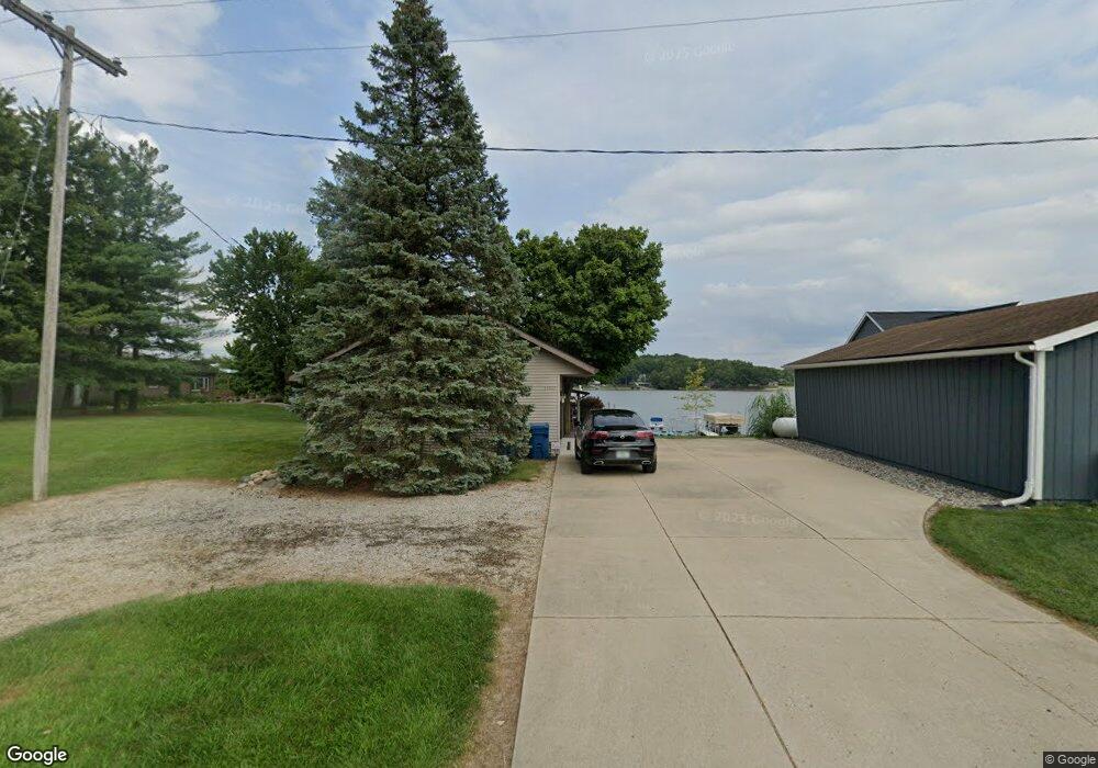
13827 Woodbridge Rd Camden, MI 49232
Estimated Value: $227,000 - $393,000
3
Beds
1
Bath
1,728
Sq Ft
$193/Sq Ft
Est. Value
About This Home
This home is located at 13827 Woodbridge Rd, Camden, MI 49232 and is currently estimated at $333,182, approximately $192 per square foot. 13827 Woodbridge Rd is a home located in Hillsdale County with nearby schools including Camden-Frontier K-8 School and Camden-Frontier High School.
Ownership History
Date
Name
Owned For
Owner Type
Purchase Details
Closed on
Oct 14, 2014
Sold by
Suker Robert J and Zuker Milissa A
Bought by
Milissa A Zuker Revocable Trust
Current Estimated Value
Purchase Details
Closed on
Aug 22, 2003
Sold by
Hulsebus Richard and Hulsebus Maryann
Bought by
Zuker Robert J and Zuker Milissa A
Purchase Details
Closed on
Feb 16, 1996
Sold by
Carlson George E and Valerie Mowery
Bought by
Hulsebus Richard and Hulsebus Maryann
Purchase Details
Closed on
Feb 10, 1993
Sold by
Nusbaum John T and Nusbaum Sharon K
Bought by
Carlson George E and Mowery Valerie A
Purchase Details
Closed on
Oct 13, 1978
Sold by
Tussing Glen E and Tussing Margaret E
Bought by
Nusbaum John T
Create a Home Valuation Report for This Property
The Home Valuation Report is an in-depth analysis detailing your home's value as well as a comparison with similar homes in the area
Home Values in the Area
Average Home Value in this Area
Purchase History
| Date | Buyer | Sale Price | Title Company |
|---|---|---|---|
| Milissa A Zuker Revocable Trust | -- | None Available | |
| Zuker Robert J | $168,000 | -- | |
| Hulsebus Richard | $110,000 | -- | |
| Carlson George E | $75,000 | -- | |
| Nusbaum John T | $25,000 | -- |
Source: Public Records
Tax History Compared to Growth
Tax History
| Year | Tax Paid | Tax Assessment Tax Assessment Total Assessment is a certain percentage of the fair market value that is determined by local assessors to be the total taxable value of land and additions on the property. | Land | Improvement |
|---|---|---|---|---|
| 2025 | $4,259 | $141,500 | $0 | $0 |
| 2024 | $1,010 | $133,300 | $0 | $0 |
| 2023 | $963 | $112,900 | $0 | $0 |
| 2022 | $4,001 | $95,800 | $0 | $0 |
| 2021 | $3,898 | $87,600 | $0 | $0 |
| 2020 | $3,904 | $86,300 | $0 | $0 |
| 2019 | $3,756 | $82,100 | $0 | $0 |
| 2018 | $3,634 | $78,600 | $0 | $0 |
| 2017 | $3,497 | $78,470 | $0 | $0 |
| 2016 | $3,469 | $77,230 | $0 | $0 |
| 2015 | $811 | $77,230 | $0 | $0 |
| 2013 | -- | $72,710 | $0 | $0 |
| 2012 | $767 | $70,020 | $0 | $0 |
Source: Public Records
Map
Nearby Homes
- 13857 E Diane Dr
- 13791 E Diane Dr
- 14600 W Diane Dr
- 14401 Woodbridge Rd
- 13551 Hillsdale Rd
- 14934 Heather Ct
- 623-624 Yuma Trail
- 362 Wasco Trail
- 11794 Clark Rd
- 0 W Territorial Rd Unit 25043960
- 8800 W Territorial Rd
- 199 Shoshone Trail
- 988-989 Seneca Dr
- 207 Modoc Trail
- 155 Navajo Trail
- 213 Navajo Trail
- 15791 Rice Rd
- 600 Seneca Dr
- 0 Seneca Dr
- 14165 Crampton Rd
- 13845 Woodbridge Rd
- 13863 Woodbridge Rd
- 13791 Woodbridge Rd
- 13881 Woodbridge Rd
- 1990 Scott Dr
- 13899 Woodbridge Rd
- 1980 Scott Dr
- 14011 Woodbridge Rd
- 14071 Woodbridge Rd
- 2011 Sampson Rd
- 2051 Sampson Rd
- 2091 Sampson Rd
- 2031 Sampson Rd
- 13747 Woodbridge Rd
- 2131 Sampson Rd
- 13726 Rapallo Ct
- 13590 Woodbridge Rd
- 13714 Rapallo Ct
- 13737 Rapallo Ct
- 13642 Monte Carlo Dr