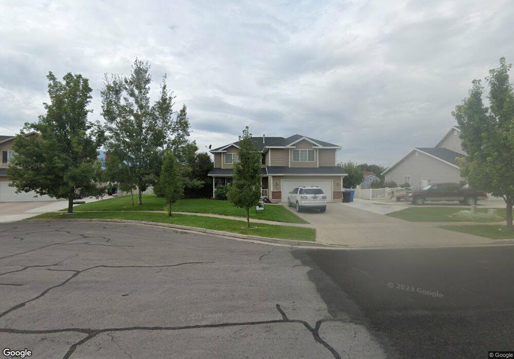
1383 Henrys Point Dr Logan, UT 84321
Woodruff NeighborhoodEstimated Value: $610,286 - $685,000
6
Beds
4
Baths
3,588
Sq Ft
$178/Sq Ft
Est. Value
About This Home
This home is located at 1383 Henrys Point Dr, Logan, UT 84321 and is currently estimated at $637,822, approximately $177 per square foot. 1383 Henrys Point Dr is a home located in Cache County with nearby schools including Woodruff School, Mount Logan Middle School, and Logan High School.
Ownership History
Date
Name
Owned For
Owner Type
Purchase Details
Closed on
Oct 28, 2022
Sold by
Smith Kenneth Thomas
Bought by
Webb Veronna
Current Estimated Value
Home Financials for this Owner
Home Financials are based on the most recent Mortgage that was taken out on this home.
Original Mortgage
$219,000
Outstanding Balance
$211,431
Interest Rate
6.7%
Mortgage Type
New Conventional
Estimated Equity
$426,391
Purchase Details
Closed on
Jan 5, 2006
Sold by
Venture Net Llc
Bought by
Smith Kenneth Thomas and Smith Sandra Genoveva
Home Financials for this Owner
Home Financials are based on the most recent Mortgage that was taken out on this home.
Original Mortgage
$156,350
Interest Rate
10%
Mortgage Type
Purchase Money Mortgage
Create a Home Valuation Report for This Property
The Home Valuation Report is an in-depth analysis detailing your home's value as well as a comparison with similar homes in the area
Home Values in the Area
Average Home Value in this Area
Purchase History
| Date | Buyer | Sale Price | Title Company |
|---|---|---|---|
| Webb Veronna | -- | Us Title | |
| Smith Kenneth Thomas | -- | Cache Title Company |
Source: Public Records
Mortgage History
| Date | Status | Borrower | Loan Amount |
|---|---|---|---|
| Open | Webb Veronna | $219,000 | |
| Previous Owner | Smith Kenneth Thomas | $156,350 |
Source: Public Records
Tax History
| Year | Tax Paid | Tax Assessment Tax Assessment Total Assessment is a certain percentage of the fair market value that is determined by local assessors to be the total taxable value of land and additions on the property. | Land | Improvement |
|---|---|---|---|---|
| 2025 | $2,417 | $312,600 | $0 | $0 |
| 2024 | $2,486 | $311,375 | $0 | $0 |
| 2023 | $2,589 | $309,155 | $0 | $0 |
| 2022 | $246 | $273,955 | $0 | $0 |
| 2021 | $2,211 | $380,819 | $48,000 | $332,819 |
| 2020 | $2,176 | $337,408 | $48,000 | $289,408 |
| 2019 | $2,275 | $337,408 | $48,000 | $289,408 |
| 2018 | $2,263 | $306,400 | $48,000 | $258,400 |
| 2017 | $2,255 | $161,480 | $0 | $0 |
| 2016 | $2,338 | $133,325 | $0 | $0 |
| 2015 | $1,933 | $133,325 | $0 | $0 |
| 2014 | $1,747 | $133,325 | $0 | $0 |
| 2013 | -- | $133,325 | $0 | $0 |
Source: Public Records
Map
Nearby Homes
- 420 S 1400 W
- 1239 W 575 S
- 1506 Silver Canoe Loop
- 1210 W 575 S Unit 163
- 1210 W 575 S
- 1214 W 575 S
- 1204 W 575 S
- 551 S 1215 W Unit 131
- 539 S 1215 W Unit 129
- 539 S 1580 W Unit 121
- 552 S W Rivergate Dr
- 1615 Silver Canoe Way
- 524 S W Rivergate Dr
- 508 S 1215 W Unit 144
- 1585 W Silver Canoe Way
- 1603 W Silver Canoe Way
- 1609 W Silver Canoe Way
- 1615 W Silver Canoe Way
- 1772 W Rivergate Dr
- 1788 W Rivergate Dr
- 1379 W Henrys Pt Dr
- 1379 W Henrys Pt Dr
- 1389 W Henrys Pt Dr
- 707 Legend Dr
- 1380 Henrys Point Dr
- 1380 Henrys Point Dr Unit 54
- 1371 W Henrys Pt Dr
- 1395 W Henrys Pt Dr
- 679 Legend Dr
- 1395 W Henry's Point Dr
- 1390 W Henrys Pt Dr
- 1386 Henrys Point Dr
- 786 Legend Dr
- 788 Legend Dr
- 1386 W Henrys Pt Dr
- 750 Legend Dr
- 798 Legend Dr
- 772 Legend Dr
- 772 S 1430 W
- 1366 W Henrys Pt Dr
Your Personal Tour Guide
Ask me questions while you tour the home.