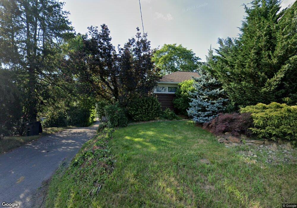
1383 Stewartstown Rd Morgantown, WV 26505
Suncrest NeighborhoodEstimated Value: $344,000 - $446,000
3
Beds
2
Baths
1,848
Sq Ft
$205/Sq Ft
Est. Value
About This Home
This home is located at 1383 Stewartstown Rd, Morgantown, WV 26505 and is currently estimated at $379,333, approximately $205 per square foot. 1383 Stewartstown Rd is a home located in Monongalia County with nearby schools including North Elementary School, Suncrest Middle School, and Morgantown High School.
Ownership History
Date
Name
Owned For
Owner Type
Purchase Details
Closed on
May 25, 2021
Sold by
Debiase Keith S and Debiase Patricia S
Bought by
Mri Properties Llc
Current Estimated Value
Home Financials for this Owner
Home Financials are based on the most recent Mortgage that was taken out on this home.
Original Mortgage
$1,000,000
Outstanding Balance
$904,321
Interest Rate
3.1%
Mortgage Type
Credit Line Revolving
Estimated Equity
-$524,988
Create a Home Valuation Report for This Property
The Home Valuation Report is an in-depth analysis detailing your home's value as well as a comparison with similar homes in the area
Home Values in the Area
Average Home Value in this Area
Purchase History
| Date | Buyer | Sale Price | Title Company |
|---|---|---|---|
| Mri Properties Llc | $300,000 | None Available |
Source: Public Records
Mortgage History
| Date | Status | Borrower | Loan Amount |
|---|---|---|---|
| Open | Mri Properties Llc | $1,000,000 |
Source: Public Records
Tax History Compared to Growth
Tax History
| Year | Tax Paid | Tax Assessment Tax Assessment Total Assessment is a certain percentage of the fair market value that is determined by local assessors to be the total taxable value of land and additions on the property. | Land | Improvement |
|---|---|---|---|---|
| 2025 | $1,950 | $91,260 | $26,340 | $64,920 |
| 2024 | $1,950 | $91,260 | $26,340 | $64,920 |
| 2023 | $1,945 | $91,260 | $26,340 | $64,920 |
| 2022 | $1,847 | $90,120 | $26,340 | $63,780 |
| 2021 | $928 | $90,120 | $26,340 | $63,780 |
| 2020 | $932 | $90,120 | $26,340 | $63,780 |
| 2019 | $939 | $90,120 | $26,340 | $63,780 |
| 2018 | $942 | $90,120 | $26,340 | $63,780 |
| 2017 | $985 | $93,780 | $25,080 | $68,700 |
| 2016 | $988 | $93,420 | $23,820 | $69,600 |
| 2015 | $926 | $91,560 | $21,960 | $69,600 |
| 2014 | $857 | $88,920 | $20,040 | $68,880 |
Source: Public Records
Map
Nearby Homes
- TBD Butler Dr
- 3908 Sun Way
- 3909 Sun Way
- 1910 Stone Run St
- 226 Donna Ave
- 1612 Suncrest Village
- 2637 Suncrest Village
- 2635 Suncrest Village
- 56 David Ln
- 129 Donna Ave
- 25 Hannah Ln
- 112 Donna Ave
- 102 Pasture Ln Unit 102
- 1005 Primrose Ln
- 289 Donna Ave
- 46 Turnstone Dr
- 113 Cadet Ct
- 202 Farm Brook Ln
- B-8R Meadowland Dr
- Lot 4 Farm Brook Ln
- 1381 Stewartstown Rd
- 1379 Stewartstown Rd
- 1395 Stewartstown Rd
- 423 West Run Rd
- 1375 Stewartstown Rd
- 1399 Stewartstown Rd
- 453 West Run Rd
- 1445 Stewartstown Rd
- TBD Stewartstown Rd
- 0 Stewartstown Rd
- 376 W Run Rd
- 461 W Run Rd
- 1369 Stewartstown Rd
- 469 West Run Rd
- 1371A Stewartstown Rd
- 1371 Stewartstown Rd
- 346 West Run Rd
- 2001 Glenmark Ave
- 485 West Run Rd
- 330 West Run Rd