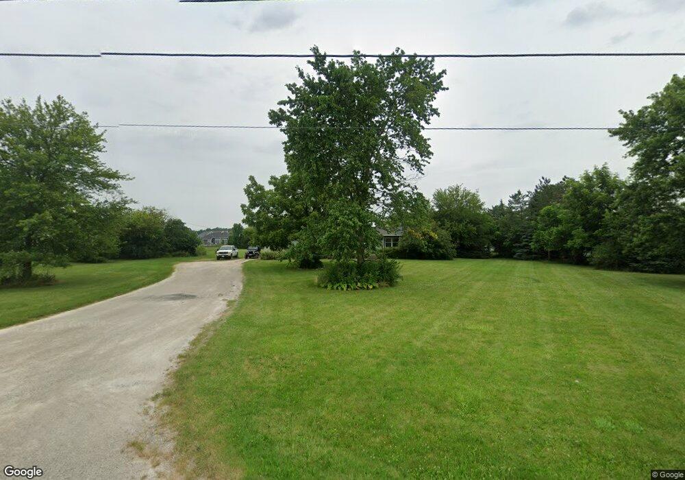
13830 Roachton Rd Perrysburg, OH 43551
Estimated Value: $206,180 - $512,000
--
Bed
--
Bath
--
Sq Ft
3.7
Acres
About This Home
This home is located at 13830 Roachton Rd, Perrysburg, OH 43551 and is currently estimated at $359,090. 13830 Roachton Rd is a home located in Wood County with nearby schools including Fort Meigs Elementary School, Perrysburg Junior High School, and Perrysburg High School.
Ownership History
Date
Name
Owned For
Owner Type
Purchase Details
Closed on
May 3, 2018
Sold by
Addy Pamela and Addy Pamela L
Bought by
City Of Perrysburg
Current Estimated Value
Purchase Details
Closed on
Mar 8, 2001
Sold by
Howald Jeremiah M and Howald Betty A
Bought by
Addy Dennis and Addy Pamela
Home Financials for this Owner
Home Financials are based on the most recent Mortgage that was taken out on this home.
Original Mortgage
$92,000
Interest Rate
7.13%
Mortgage Type
Seller Take Back
Purchase Details
Closed on
Jan 20, 1982
Bought by
Howald Jeremiah M
Create a Home Valuation Report for This Property
The Home Valuation Report is an in-depth analysis detailing your home's value as well as a comparison with similar homes in the area
Home Values in the Area
Average Home Value in this Area
Purchase History
| Date | Buyer | Sale Price | Title Company |
|---|---|---|---|
| City Of Perrysburg | $3,591 | None Available | |
| Addy Dennis | $92,000 | -- | |
| Howald Jeremiah M | -- | -- |
Source: Public Records
Mortgage History
| Date | Status | Borrower | Loan Amount |
|---|---|---|---|
| Previous Owner | Addy Dennis | $92,000 |
Source: Public Records
Tax History Compared to Growth
Tax History
| Year | Tax Paid | Tax Assessment Tax Assessment Total Assessment is a certain percentage of the fair market value that is determined by local assessors to be the total taxable value of land and additions on the property. | Land | Improvement |
|---|---|---|---|---|
| 2024 | $1,414 | $20,510 | $10,885 | $9,625 |
| 2023 | $1,414 | $20,520 | $10,890 | $9,630 |
| 2021 | $1,315 | $16,980 | $9,210 | $7,770 |
| 2020 | $705 | $10,610 | $9,210 | $1,400 |
| 2019 | $2,994 | $8,890 | $7,630 | $1,260 |
| 2018 | $3,401 | $55,370 | $7,630 | $47,740 |
| 2017 | $3,368 | $55,650 | $7,910 | $47,740 |
| 2016 | $2,537 | $40,010 | $5,360 | $34,650 |
| 2015 | $2,604 | $40,010 | $5,360 | $34,650 |
| 2014 | $2,562 | $40,010 | $5,360 | $34,650 |
| 2013 | $2,435 | $36,860 | $5,360 | $31,500 |
Source: Public Records
Map
Nearby Homes
- 2837 Woods Edge Rd
- 11 Hawthorne Crossing
- 158 Barton Creek Dr
- 168 Barton Creek Dr
- 162 Barton Creek Dr
- 549 Canterbury Blvd
- 142 Barton Creek Dr
- 144 Barton Creek Dr
- 140 Barton Creek Dr
- 116 Wellington Place
- 122 Wellington Place
- LOT 140 Canterbury Blvd
- 507 Cathedral Ct
- 113 Wellington Place
- 117 Wellington Place
- 502 Cathedral Ct
- 503 Cathedral Ct
- 1035 Stoneleigh Rd
- 1794 Horseshoe Bend Dr
- 1002 Ellesmere
- 13830 Roachton Rd
- 13790 Roachton Rd
- 110 Howald Farm Ct
- 111 Howald Farm Ct
- 108 Howald Farm Ct
- LOT 31 Hawthorne
- 109 Howald Farm Ct
- 106 Howald Farm Ct
- 2813 Woods Edge Rd
- 209 Drakefield
- 209 Drakefield Ct
- 2825 Woods Edge Rd
- 107 Howald Farm Ct
- 210 Drakefield Ct
- 207 Drakefield Ct
- 2789 Woods Edge Rd
- 2777 Woods Edge Rd
- 104 Howald Farm Ct
- LOT 9 Hawthorne
- LOT 45 Hawthorne
