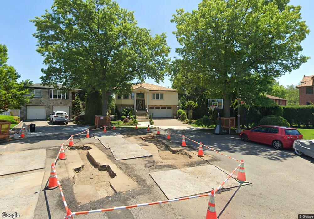
13834 10th Ave Whitestone, NY 11357
Whitestone NeighborhoodEstimated Value: $1,465,000 - $2,070,000
--
Bed
--
Bath
2,234
Sq Ft
$789/Sq Ft
Est. Value
About This Home
This home is located at 13834 10th Ave, Whitestone, NY 11357 and is currently estimated at $1,762,917, approximately $789 per square foot. 13834 10th Ave is a home located in Queens County with nearby schools including J.H.S. 194 William Carr, Flushing High School, and Holy Cross School Greek Orthodox Day School.
Ownership History
Date
Name
Owned For
Owner Type
Purchase Details
Closed on
Oct 23, 2025
Sold by
Arango Meghan
Bought by
138-34 Llc
Current Estimated Value
Home Financials for this Owner
Home Financials are based on the most recent Mortgage that was taken out on this home.
Original Mortgage
$500,000
Outstanding Balance
$500,000
Interest Rate
6.26%
Mortgage Type
Purchase Money Mortgage
Estimated Equity
$1,262,917
Purchase Details
Closed on
Nov 6, 2020
Sold by
Christakos Ellen and Christakos Paul
Bought by
Arango Meghan
Home Financials for this Owner
Home Financials are based on the most recent Mortgage that was taken out on this home.
Original Mortgage
$765,000
Interest Rate
2.8%
Mortgage Type
New Conventional
Purchase Details
Closed on
Apr 2, 2007
Sold by
Ricatto Carmela
Bought by
Christakos Ellen and Christakos Paul
Home Financials for this Owner
Home Financials are based on the most recent Mortgage that was taken out on this home.
Original Mortgage
$487,000
Interest Rate
6.24%
Create a Home Valuation Report for This Property
The Home Valuation Report is an in-depth analysis detailing your home's value as well as a comparison with similar homes in the area
Home Values in the Area
Average Home Value in this Area
Purchase History
| Date | Buyer | Sale Price | Title Company |
|---|---|---|---|
| 138-34 Llc | -- | -- | |
| Arango Meghan | $1,560,000 | -- | |
| Christakos Ellen | $1,064,000 | -- | |
| Christakos Ellen | $1,064,000 | -- |
Source: Public Records
Mortgage History
| Date | Status | Borrower | Loan Amount |
|---|---|---|---|
| Open | 138-34 Llc | $500,000 | |
| Previous Owner | Arango Meghan | $765,000 | |
| Previous Owner | Christakos Ellen | $487,000 | |
| Previous Owner | Christakos Ellen | $417,000 |
Source: Public Records
Tax History Compared to Growth
Tax History
| Year | Tax Paid | Tax Assessment Tax Assessment Total Assessment is a certain percentage of the fair market value that is determined by local assessors to be the total taxable value of land and additions on the property. | Land | Improvement |
|---|---|---|---|---|
| 2025 | $11,844 | $62,508 | $13,074 | $49,434 |
| 2024 | $11,844 | $58,970 | $13,234 | $45,736 |
| 2023 | $11,174 | $55,632 | $12,409 | $43,223 |
| 2022 | $13,970 | $73,740 | $19,740 | $54,000 |
| 2021 | $13,893 | $76,500 | $19,740 | $56,760 |
| 2020 | $12,887 | $84,060 | $19,740 | $64,320 |
| 2019 | $12,735 | $83,820 | $19,740 | $64,080 |
| 2018 | $12,303 | $61,812 | $19,498 | $42,314 |
| 2017 | $11,588 | $58,314 | $16,259 | $42,055 |
| 2016 | $10,688 | $58,314 | $16,259 | $42,055 |
| 2015 | $7,137 | $51,900 | $21,960 | $29,940 |
| 2014 | $7,137 | $51,900 | $21,960 | $29,940 |
Source: Public Records
Map
Nearby Homes
- 141-16 11th Ave
- 141-37 11th Ave
- 1311 139th St
- 4 Point Crescent
- 13910 14th Ave
- 915 Malba Dr
- 14-33 140th St
- 14-18 143rd St
- 1410 136th St
- 133 W 14th St Unit 3
- 144-58 Boulevard
- 2-07 Parsons Blvd
- 95 Malba Dr Unit 1
- 6 Summit Place
- 145-04 14th Ave
- 104 Malba Dr
- 145-52 10th Ave
- 13-32 130th St
- 6-10 129th St
- 427 Schorr Dr Unit 36A
- 13841 10th Ave
- 13835 11th Ave
- 13839 11th Ave
- 138-39 11th Ave
- 13839 11th Ave
- 138-35 11th Ave
- 1020 141st St
- 13837 10th Ave
- 1026 141st St
- 10-20 141st St
- 13828 10th Ave
- 138-28 South Dr
- 1014 141st St
- 138-34 10th Ave
- 13831 11th Ave
- 13847 11th Ave
- 13847 11th Ave
- 13821 11th Ave
- 1010 141st St
- 750 Point Crescent