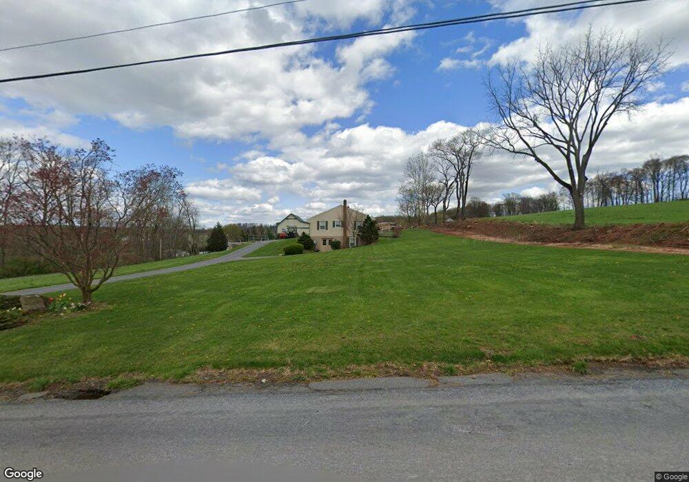
1384 Muddy Creek Rd Denver, PA 17517
Estimated Value: $529,000 - $669,000
3
Beds
3
Baths
1,712
Sq Ft
$351/Sq Ft
Est. Value
About This Home
This home is located at 1384 Muddy Creek Rd, Denver, PA 17517 and is currently estimated at $600,414, approximately $350 per square foot. 1384 Muddy Creek Rd is a home located in Lancaster County with nearby schools including Garden Spot Middle School, Garden Spot Senior High School, and Gehmans Mennonite School.
Ownership History
Date
Name
Owned For
Owner Type
Purchase Details
Closed on
Apr 23, 2012
Sold by
Martin Ella O
Bought by
Brubaker Lloyd N
Current Estimated Value
Home Financials for this Owner
Home Financials are based on the most recent Mortgage that was taken out on this home.
Original Mortgage
$200,000
Outstanding Balance
$83,543
Interest Rate
3.89%
Mortgage Type
New Conventional
Estimated Equity
$516,871
Create a Home Valuation Report for This Property
The Home Valuation Report is an in-depth analysis detailing your home's value as well as a comparison with similar homes in the area
Home Values in the Area
Average Home Value in this Area
Purchase History
| Date | Buyer | Sale Price | Title Company |
|---|---|---|---|
| Brubaker Lloyd N | $350,000 | None Available |
Source: Public Records
Mortgage History
| Date | Status | Borrower | Loan Amount |
|---|---|---|---|
| Open | Brubaker Lloyd N | $200,000 |
Source: Public Records
Tax History Compared to Growth
Tax History
| Year | Tax Paid | Tax Assessment Tax Assessment Total Assessment is a certain percentage of the fair market value that is determined by local assessors to be the total taxable value of land and additions on the property. | Land | Improvement |
|---|---|---|---|---|
| 2025 | $5,266 | $306,000 | $117,400 | $188,600 |
| 2024 | $5,266 | $306,000 | $117,400 | $188,600 |
| 2023 | $5,158 | $306,000 | $117,400 | $188,600 |
| 2022 | $5,070 | $306,000 | $117,400 | $188,600 |
| 2021 | $4,816 | $306,000 | $117,400 | $188,600 |
| 2020 | $4,816 | $306,000 | $117,400 | $188,600 |
| 2019 | $4,759 | $306,000 | $117,400 | $188,600 |
| 2018 | $7,580 | $306,000 | $117,400 | $188,600 |
| 2017 | $4,148 | $217,800 | $74,200 | $143,600 |
| 2016 | $4,148 | $217,800 | $74,200 | $143,600 |
| 2015 | $872 | $217,800 | $74,200 | $143,600 |
| 2014 | $3,139 | $217,800 | $74,200 | $143,600 |
Source: Public Records
Map
Nearby Homes
- 375 Lausch Rd
- 27 Lausch Rd
- 13 Sanderling Dr
- 17 Sanderling Dr
- 3 Whitetail Dr
- 44 S Muddy Creek Rd
- 2101 Kramer Mill Rd
- 17 W Kestrel Dr
- 82 Scenic Dr
- 20 Hill Rd
- Westbrooke Plan at Hawk Valley Estates
- Callahan Plan at Hawk Valley Estates
- Silverbrooke Plan at Hawk Valley Estates
- Wesley Plan at Hawk Valley Estates
- Bridgemont Plan at Hawk Valley Estates
- Logan Plan at Hawk Valley Estates
- Brookfield Plan at Hawk Valley Estates
- Kingston Plan at Hawk Valley Estates
- Berkley Plan at Hawk Valley Estates
- Sullivan Plan at Hawk Valley Estates
- 1360 Kramer Mill Rd
- 1321 Kramer Mill Rd
- 1336 Kramer Mill Rd
- 1323 Kramer Mill Rd
- 1319 Kramer Mill Rd
- 1317 Kramer Mill Rd
- 1315 Kramer Mill Rd
- 1351 Muddy Creek Rd
- 1313 Kramer Mill Rd
- 681 S Muddy Creek Rd
- 1311 Kramer Mill Rd
- 1309 Kramer Mill Rd
- 1307 Kramer Mill Rd
- 1305 Kramer Mill Rd
- 1303 Kramer Mill Rd
- 1301 Kramer Mill Rd
- 1299 Kramer Mill Rd
- 1297 Kramer Mill Rd
- 1295 Kramer Mill Rd
- 1291 Kramer Mill Rd