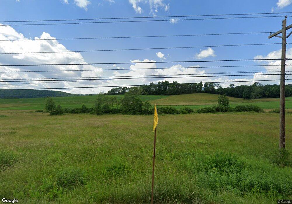
1384 State Route 49 W Ulysses, PA 16948
Estimated Value: $243,000 - $286,066
--
Bed
--
Bath
1,440
Sq Ft
$180/Sq Ft
Est. Value
About This Home
This home is located at 1384 State Route 49 W, Ulysses, PA 16948 and is currently estimated at $259,022, approximately $179 per square foot. 1384 State Route 49 W is a home located in Potter County with nearby schools including Northern Potter Children's School, Northern Potter Junior/Senior High School, and Ulysses Amish School.
Ownership History
Date
Name
Owned For
Owner Type
Purchase Details
Closed on
Apr 11, 2024
Sold by
Stager Jeffrey L and Stager Christina A
Bought by
Stager Christina A
Current Estimated Value
Purchase Details
Closed on
Dec 22, 2006
Create a Home Valuation Report for This Property
The Home Valuation Report is an in-depth analysis detailing your home's value as well as a comparison with similar homes in the area
Home Values in the Area
Average Home Value in this Area
Purchase History
| Date | Buyer | Sale Price | Title Company |
|---|---|---|---|
| Stager Christina A | -- | None Listed On Document | |
| -- | $19,212 | None Available |
Source: Public Records
Tax History Compared to Growth
Tax History
| Year | Tax Paid | Tax Assessment Tax Assessment Total Assessment is a certain percentage of the fair market value that is determined by local assessors to be the total taxable value of land and additions on the property. | Land | Improvement |
|---|---|---|---|---|
| 2025 | $5,614 | $77,560 | $12,760 | $64,800 |
| 2024 | $5,246 | $77,560 | $12,760 | $64,800 |
| 2023 | $4,706 | $77,560 | $12,760 | $64,800 |
| 2022 | $4,551 | $77,560 | $12,760 | $64,800 |
| 2021 | $4,551 | $77,560 | $12,760 | $64,800 |
| 2020 | $4,480 | $77,560 | $12,760 | $64,800 |
| 2019 | $4,399 | $77,560 | $12,760 | $64,800 |
| 2018 | $4,245 | $77,560 | $12,760 | $64,800 |
| 2017 | -- | $77,560 | $12,760 | $64,800 |
| 2016 | $3,685 | $71,560 | $12,760 | $58,800 |
| 2015 | -- | $71,560 | $12,760 | $58,800 |
| 2012 | -- | $71,560 | $12,760 | $58,800 |
Source: Public Records
Map
Nearby Homes
- 101 Cowburn Rd
- 359 Gazdag Rd
- 0 N Brookland Rd Unit 31722991
- 0 Hamilton Rd
- 313 N Brookland Rd
- 0 T455
- 313 N Brookland Rd N
- 514 Kidney Rd
- 350 Brown Rd
- 301 Brown Rd
- 2955 Genesee Mills Rd
- 1508 Peet Brook Rd
- 1358 S Brookland Rd
- 436 Teeter Rd
- 142 Main St
- 33 Cabin Run Rd
- 00 Ellisburg Rd
- 1060 Brookland Road (Lot C)
- 1070
- 49 Outback Ln
- 1204 State Route 49 W
- 1425 State Route 49 W
- 172 Kibbeville Rd
- 512 Pushersiding Rd
- 1202 State Route 49 W
- 34 Empson Rd
- 471 Pushersiding Rd
- 1587 State Route 49 W
- 90 Empson Rd
- 39 Kibbeville Rd
- 31 Kibbeville Rd
- 439 Pushersiding Rd
- 582 Pushersiding Rd
- 37 Kibbeville Rd
- 22 Cowburn Rd
- 126 Empson Rd
- 1860 State Route 49 W
- 1848 State Route 49 W
- 980 State Route 49 W
- 1818 Route 49