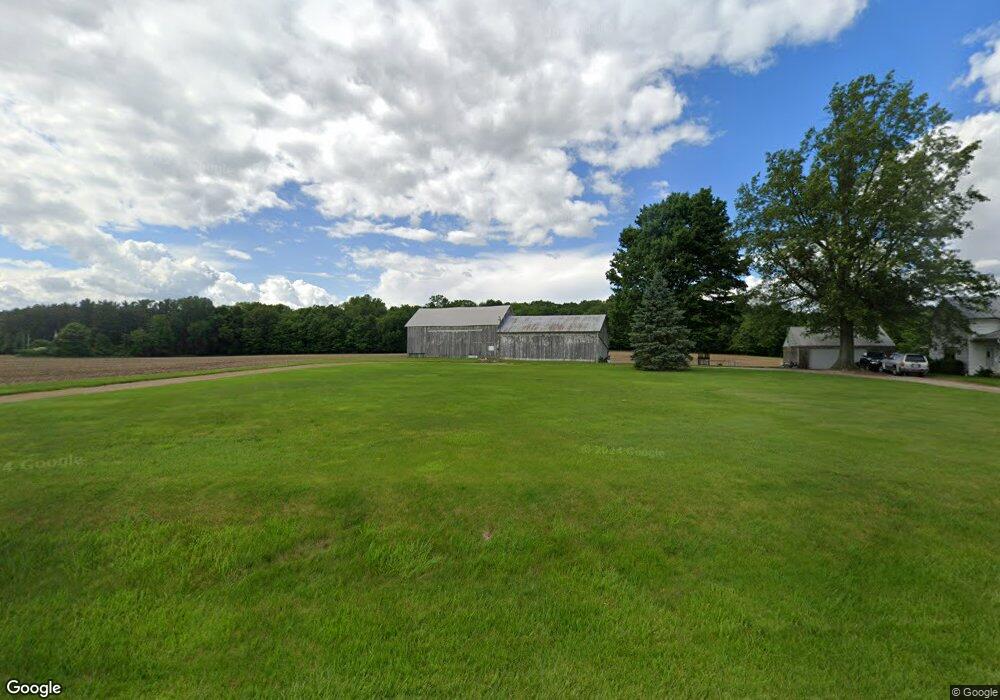
1384 Wyandot Rd Bucyrus, OH 44820
Estimated Value: $139,000 - $321,000
3
Beds
1
Bath
860
Sq Ft
$277/Sq Ft
Est. Value
About This Home
This home is located at 1384 Wyandot Rd, Bucyrus, OH 44820 and is currently estimated at $238,000, approximately $276 per square foot. 1384 Wyandot Rd is a home located in Crawford County with nearby schools including Wynford Elementary School and Wynford High School.
Ownership History
Date
Name
Owned For
Owner Type
Purchase Details
Closed on
Jun 9, 2025
Sold by
Makeever Mark A and Shupp Cheryl L
Bought by
Kent Zoe M
Current Estimated Value
Home Financials for this Owner
Home Financials are based on the most recent Mortgage that was taken out on this home.
Original Mortgage
$93,000
Outstanding Balance
$92,630
Interest Rate
6.81%
Mortgage Type
Credit Line Revolving
Estimated Equity
$145,370
Purchase Details
Closed on
Apr 15, 2025
Sold by
Makeever Mark A and Shupp Cheryl L
Bought by
Atwood Brittani D and Hensel Daniel
Home Financials for this Owner
Home Financials are based on the most recent Mortgage that was taken out on this home.
Original Mortgage
$93,000
Outstanding Balance
$92,630
Interest Rate
6.81%
Mortgage Type
Credit Line Revolving
Estimated Equity
$145,370
Purchase Details
Closed on
Mar 14, 2025
Sold by
Mark A Makeever Legacy Preservation Trus and Makeever Christopher J
Bought by
Makeever Mark A
Purchase Details
Closed on
Mar 10, 2025
Sold by
Cheryl L Shupp Legacy Preservation Trust and Makeever Mark A
Bought by
Shupp Cheryl L
Purchase Details
Closed on
Nov 10, 2016
Sold by
Dickey Connie S
Bought by
Makeever Richard D and Makeever Judy A
Purchase Details
Closed on
Aug 5, 2014
Sold by
Makeever Richard D and Makeever Judy A
Bought by
The Makeever Keystone Inheritance Trust and Shupp Cheryl L
Purchase Details
Closed on
Oct 8, 2013
Sold by
Dickey James L and Dickey Virginia
Bought by
Makeever Judy A and Makeever Richard D
Purchase Details
Closed on
Sep 10, 2004
Bought by
Makeever Judy A
Create a Home Valuation Report for This Property
The Home Valuation Report is an in-depth analysis detailing your home's value as well as a comparison with similar homes in the area
Home Values in the Area
Average Home Value in this Area
Purchase History
| Date | Buyer | Sale Price | Title Company |
|---|---|---|---|
| Kent Zoe M | $133,000 | None Listed On Document | |
| Kent Zoe M | $133,000 | None Listed On Document | |
| Atwood Brittani D | $8,000 | None Listed On Document | |
| Atwood Brittani D | $8,000 | None Listed On Document | |
| Makeever Mark A | -- | None Listed On Document | |
| Makeever Mark A | -- | None Listed On Document | |
| Shupp Cheryl L | -- | None Listed On Document | |
| Shupp Cheryl L | -- | None Listed On Document | |
| Cheryl L Shupp Legacy Preservation Trust | -- | None Listed On Document | |
| Cheryl L Shupp Legacy Preservation Trust | -- | None Listed On Document | |
| Mark A Makeever Legacy Preservation Trust | $25,000 | None Listed On Document | |
| Mark A Makeever Legacy Preservation Trust | $25,000 | None Listed On Document | |
| Makeever Richard D | $58,300 | None Available | |
| The Makeever Keystone Inheritance Trust | -- | Attorney | |
| Makeever Judy A | $65,500 | None Available | |
| Makeever Judy A | -- | -- |
Source: Public Records
Mortgage History
| Date | Status | Borrower | Loan Amount |
|---|---|---|---|
| Open | Kent Zoe M | $93,000 | |
| Closed | Kent Zoe M | $93,000 |
Source: Public Records
Tax History Compared to Growth
Tax History
| Year | Tax Paid | Tax Assessment Tax Assessment Total Assessment is a certain percentage of the fair market value that is determined by local assessors to be the total taxable value of land and additions on the property. | Land | Improvement |
|---|---|---|---|---|
| 2024 | $1,884 | $50,330 | $28,090 | $22,240 |
| 2023 | $1,884 | $26,920 | $16,030 | $10,890 |
| 2022 | $822 | $26,920 | $16,030 | $10,890 |
| 2021 | $882 | $26,920 | $16,030 | $10,890 |
| 2020 | $998 | $30,920 | $20,030 | $10,890 |
| 2019 | $1,026 | $30,920 | $20,030 | $10,890 |
| 2018 | $1,049 | $30,920 | $20,030 | $10,890 |
| 2017 | $1,392 | $38,620 | $25,870 | $12,750 |
| 2016 | $1,163 | $38,630 | $25,880 | $12,750 |
| 2015 | $1,181 | $38,630 | $25,880 | $12,750 |
| 2014 | $828 | $27,660 | $14,910 | $12,750 |
| 2013 | $1,007 | $27,660 | $14,910 | $12,750 |
Source: Public Records
Map
Nearby Homes
- 1773 Marion-Melmore Rd
- 2440 Wyandot Rd
- 2273 Kerstetter Rd
- 1123 Hillcrest Dr
- 275 Brentwood St
- 130 Brentwood St
- 1112 Hillcrest Dr
- 1149 Farmview Dr
- 3056 Mccracken Rd
- 1315 Lynne Ave
- 0 Lynne Ave
- 1145 Lynne Ave
- 452 Pleasant Ln
- 1665 Lincoln Hwy
- 1211 S Sandusky Ave
- 182 Williams St
- 900 S Spring St
- 1021 S Sandusky Ave
- 325 W Liberty St
- 885 W Perry St
- 1363 Wyandot Rd
- 1437 Wyandot Rd
- 1290 Wyandot Rd
- 1466 Wyandot Rd
- 1288 Wyandot Rd
- 1480 Wyandot Rd
- 1476 Wyandot Rd
- 1489 Wyandot Rd
- 1285 Wyandot Rd
- 1285 Wyandot Rd
- 1523 Wyandot Rd
- 1222 Wyandot Rd
- 1225 Wyandot Rd
- 1215 Wyandot Rd
- 1730 Shupp Rd
- 1567 Wyandot Rd
- 1190 Wyandot Rd
- 1580 Wyandot Rd
- 1367 Mount Zion Rd
- 1417 Mount Zion Rd