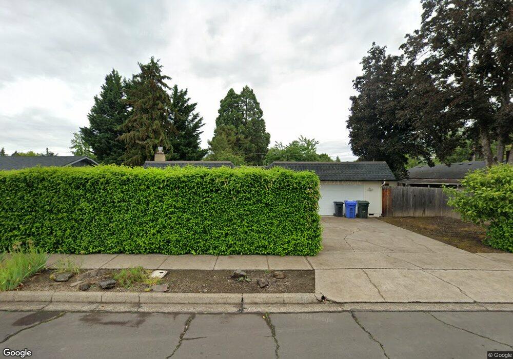
1385 Corum Ave Eugene, OR 97401
Cal Young NeighborhoodEstimated Value: $453,000 - $512,000
3
Beds
2
Baths
1,443
Sq Ft
$337/Sq Ft
Est. Value
About This Home
This home is located at 1385 Corum Ave, Eugene, OR 97401 and is currently estimated at $486,535, approximately $337 per square foot. 1385 Corum Ave is a home located in Lane County with nearby schools including Willagillespie Elementary School, Cal Young Middle School, and Sheldon High School.
Ownership History
Date
Name
Owned For
Owner Type
Purchase Details
Closed on
Oct 20, 2021
Sold by
Phillips Aimee D
Bought by
Phillips Aimee D and Phillips Aimee D
Current Estimated Value
Purchase Details
Closed on
Dec 28, 1998
Sold by
Gardner Gwen E
Bought by
Phillips Aimee D
Home Financials for this Owner
Home Financials are based on the most recent Mortgage that was taken out on this home.
Original Mortgage
$103,125
Outstanding Balance
$26,579
Interest Rate
8.62%
Estimated Equity
$459,956
Create a Home Valuation Report for This Property
The Home Valuation Report is an in-depth analysis detailing your home's value as well as a comparison with similar homes in the area
Home Values in the Area
Average Home Value in this Area
Purchase History
| Date | Buyer | Sale Price | Title Company |
|---|---|---|---|
| Phillips Aimee D | -- | None Available | |
| Phillips Aimee D | $137,500 | Title Guaranty Company |
Source: Public Records
Mortgage History
| Date | Status | Borrower | Loan Amount |
|---|---|---|---|
| Open | Phillips Aimee D | $103,125 | |
| Closed | Phillips Aimee D | $34,375 |
Source: Public Records
Tax History
| Year | Tax Paid | Tax Assessment Tax Assessment Total Assessment is a certain percentage of the fair market value that is determined by local assessors to be the total taxable value of land and additions on the property. | Land | Improvement |
|---|---|---|---|---|
| 2025 | $5,055 | $259,433 | -- | -- |
| 2024 | $4,992 | $251,877 | -- | -- |
| 2023 | $4,992 | $244,541 | $0 | $0 |
| 2022 | $4,676 | $237,419 | $0 | $0 |
| 2021 | $4,392 | $230,504 | $0 | $0 |
| 2020 | $4,408 | $223,791 | $0 | $0 |
| 2019 | $4,257 | $217,273 | $0 | $0 |
| 2018 | $4,007 | $204,801 | $0 | $0 |
| 2017 | $3,828 | $204,801 | $0 | $0 |
| 2016 | $3,692 | $198,836 | $0 | $0 |
| 2015 | $3,562 | $193,045 | $0 | $0 |
| 2014 | $3,482 | $187,422 | $0 | $0 |
Source: Public Records
Map
Nearby Homes
- 1332 Jeppesen Ave
- 1440 Amberland Ave
- 2281 Ridgeway Dr
- 1750 Tabor St
- 1165 Skylark Ln
- 1810 Happy Ln
- 1500 Norkenzie Rd Unit 12
- 1500 Norkenzie Rd Unit 43
- 1632 Larkspur Loop
- 0 Piper Ln Unit Lot 1
- 0 Piper Ln Unit Lot 3
- 0 Piper Ln Unit Lot 2
- 0 Piper Ln Unit Lot 5
- 1455 Holly Ave
- 2817 Applewood Ln
- 1328 Spyglass Dr
- 2132 Willona Dr
- 2134 Willona Dr
- 1193 Rio Glen Dr
- 0 Cal Young Rd Unit Lot 4
- 2016 Tabor St
- 1375 Corum Ave
- 2030 Tabor St
- 1345 Corum Ave
- 1355 Corum Ave
- 1380 Corum Ave
- 1398 Corum Ave
- 1390 Corum Ave
- 2050 Tabor St
- 1335 Corum Ave
- 1405 Corum Ave
- 1373 Goodpasture Island Rd
- 1379 Goodpasture Island Rd
- 1360 Corum Ave
- 2070 Tabor St
- 2035 Tabor St
- 1985 Tabor St
- 1315 Corum Ave Unit VRM
- 1315 Corum Ave
- 1359 Goodpasture Island Rd
Your Personal Tour Guide
Ask me questions while you tour the home.