Estimated Value: $326,000 - $2,115,000
3
Beds
5
Baths
1,502
Sq Ft
$813/Sq Ft
Est. Value
About This Home
This home is located at 1385 Furys Ferry Rd, Evans, GA 30809 and is currently estimated at $1,220,500, approximately $812 per square foot. 1385 Furys Ferry Rd is a home located in Columbia County with nearby schools including Riverside Elementary School, Riverside Middle School, and Greenbrier High School.
Ownership History
Date
Name
Owned For
Owner Type
Purchase Details
Closed on
Oct 11, 2024
Sold by
Mullins Kimberly Horseman
Bought by
Mullins R Fredrick Trust and Queensborough National Bank & Trust Co T
Current Estimated Value
Purchase Details
Closed on
Jun 17, 2024
Sold by
Mullins Robert F
Bought by
Mullins D Frank Tr and Mullins Kimberly Horseman
Create a Home Valuation Report for This Property
The Home Valuation Report is an in-depth analysis detailing your home's value as well as a comparison with similar homes in the area
Home Values in the Area
Average Home Value in this Area
Purchase History
| Date | Buyer | Sale Price | Title Company |
|---|---|---|---|
| Mullins R Fredrick Trust | $5,000,000 | -- | |
| Mullins D Frank Tr | -- | -- | |
| Horseman Mullins Kimberly | -- | -- |
Source: Public Records
Tax History Compared to Growth
Tax History
| Year | Tax Paid | Tax Assessment Tax Assessment Total Assessment is a certain percentage of the fair market value that is determined by local assessors to be the total taxable value of land and additions on the property. | Land | Improvement |
|---|---|---|---|---|
| 2025 | $15,547 | $652,247 | $497,502 | $154,745 |
| 2024 | $6,090 | $798,643 | $579,014 | $219,629 |
| 2023 | $6,090 | $766,483 | $531,155 | $235,328 |
| 2022 | $6,589 | $762,058 | $531,155 | $230,903 |
| 2021 | $5,887 | $680,605 | $483,856 | $196,749 |
| 2020 | $6,183 | $224,758 | $21,468 | $203,290 |
| 2019 | $6,192 | $225,087 | $21,087 | $204,000 |
| 2018 | $6,173 | $221,725 | $16,820 | $204,905 |
| 2017 | $6,221 | $222,684 | $16,466 | $206,218 |
| 2016 | $5,946 | $220,722 | $14,034 | $206,688 |
| 2015 | $6,278 | $232,643 | $13,679 | $218,964 |
| 2014 | $6,309 | $230,874 | $13,356 | $217,518 |
Source: Public Records
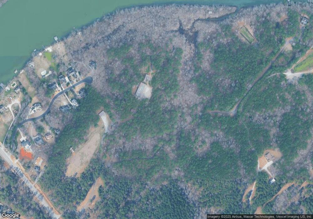
Map
Nearby Homes
- 4145 Culbreath Dr
- 4203 Ascot Ct
- 4234 Riverside Dr
- 4111 Rivermont Dr
- 820 Jasmine Trail
- 197 River Bend Dr
- 3131 Carillon Way
- 3129 Carillon Way
- 3135 Carillon Way
- 3127 Carillon Way
- 3130 Carillon Way
- 3123 Carillon Way
- 3128 Carillon Way
- 3121 Carillon Way
- 3124 Carillon Way
- 3156 Carillon Way
- 3120 Carillon Way
- Lot 16 Leyland Ct
- 3104 Carillon Way
- 3101 Carillon Way
- 1409 Ashwood Dr
- 1407 Ashwood Dr
- 1373 Furys Ferry Rd
- 1415 Ashwood Dr
- 1401 Ashwood Dr
- 1417 Ashwood Dr
- 1414 Ashwood Dr
- 1408 Ashwood Dr
- 1410 Ashwood Dr
- 1419 Ashwood Dr
- 4202 Riverside Dr
- 1402 Ashwood Dr
- 1393 Furys Ferry Rd
- 1406 Ashwood Dr
- 1365 Furys Ferry Rd
- 1418 Ashwood Dr
- 4206 Riverside Dr
- 1421 Ashwood Dr
- 0 Culbreath Dr
- 1422 Ashwood Dr