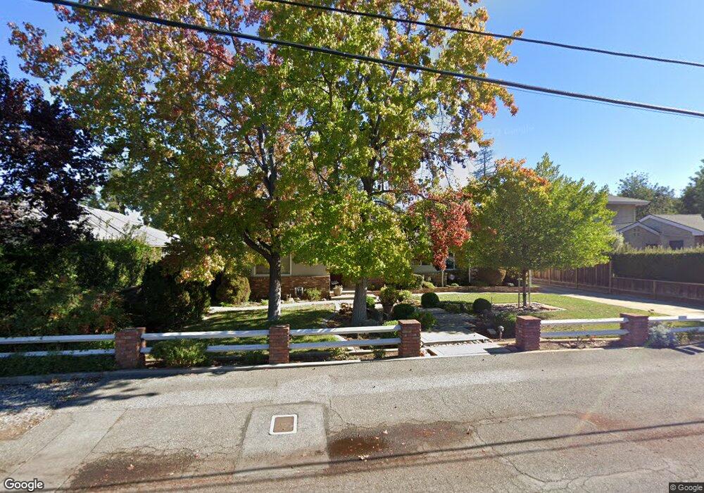
1385 Oakhurst Ave Los Altos, CA 94024
South Los Altos NeighborhoodEstimated Value: $4,323,000 - $4,716,000
About This Home
This home is located at 1385 Oakhurst Ave, Los Altos, CA 94024 and is currently estimated at $4,498,990, approximately $2,243 per square foot. 1385 Oakhurst Ave is a home located in Santa Clara County with nearby schools including Oak Avenue Elementary School, Georgina P. Blach Junior High School, and Mountain View High School.
Ownership History
We collect this data history from publicly available records. To have your information removed, we recommend requesting removal directly through your county’s website.
Purchase Details
Purchase Details
Home Values in the Area
Average Home Value in this Area
Purchase History
We collect this data history from publicly available records. To have your information removed, we recommend requesting removal directly through your county’s website.
| Date | Buyer | Sale Price | Title Company |
|---|---|---|---|
| -- | None Available | ||
| -- | None Available | ||
| -- | None Available |
Tax History
We collect this data history from publicly available records. To have your information removed, we recommend requesting removal directly through your county’s website.
| Year | Tax Paid | Tax Assessment Tax Assessment Total Assessment is a certain percentage of the fair market value that is determined by local assessors to be the total taxable value of land and additions on the property. | Land | Improvement |
|---|---|---|---|---|
| 2025 | $2,866 | $127,217 | $48,942 | $78,275 |
| 2024 | $2,866 | $124,724 | $47,983 | $76,741 |
| 2023 | $2,639 | $122,280 | $47,043 | $75,237 |
| 2022 | $2,289 | $119,883 | $46,121 | $73,762 |
| 2021 | $2,129 | $117,533 | $45,217 | $72,316 |
| 2020 | $2,121 | $116,329 | $44,754 | $71,575 |
| 2019 | $1,964 | $114,049 | $43,877 | $70,172 |
| 2018 | $2,056 | $111,814 | $43,017 | $68,797 |
| 2017 | $1,863 | $109,623 | $42,174 | $67,449 |
| 2016 | $1,761 | $107,475 | $41,348 | $66,127 |
| 2015 | $2,077 | $105,861 | $40,727 | $65,134 |
| 2014 | $1,688 | $103,789 | $39,930 | $63,859 |
Map
- 1131 Runnymead Dr
- 1514 Frontero Ave
- 292 Apricot Ln
- 1141 Covington Rd
- 174 Preston Dr
- 950 Black Mountain Ct
- 1564 Wessex Ave
- 1520 Awalt Ct
- 1345 Arbor Ave
- 747 Alvina Ct
- 730 Greenview Place
- 2091 Robinhood Ln
- 1330 Villa Dr
- 601 Joandra Ct
- 2349 Carol Ave
- 1479 Holt Ave
- 2725 Fairbrook Dr
- 1901 Quail Meadow Rd
- 100 Sleeper Ave
- 730 Mora Dr
- 1250 Payne Dr
- 1260 Payne Dr
- 1240 Payne Dr
- 1160 Eureka Ave
- 1230 Payne Dr
- 1270 Payne Dr
- 1170 Eureka Ave
- 1375 Oakhurst Ave
- 1255 Payne Dr
- 1228 Payne Dr
- 1259 Payne Dr
- 1265 Payne Dr
- 1174 Eureka Ave
- 1245 Payne Dr
- 1365 Oakhurst Ave
- 1235 Payne Dr
- 1415 Oakhurst Ave
- 1178 Eureka Ave
- 1225 Payne Dr
- 1357 Oakhurst Ave
Ask me questions while you tour the home.