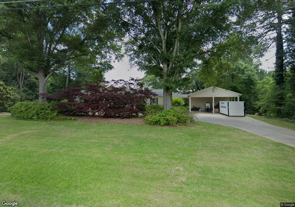
1386 Acworth Due West Rd NW Kennesaw, GA 30152
West Cobb NeighborhoodEstimated Value: $383,000 - $447,000
4
Beds
3
Baths
1,808
Sq Ft
$232/Sq Ft
Est. Value
About This Home
This home is located at 1386 Acworth Due West Rd NW, Kennesaw, GA 30152 and is currently estimated at $419,927, approximately $232 per square foot. 1386 Acworth Due West Rd NW is a home located in Cobb County with nearby schools including Bullard Elementary School, Mcclure Middle School, and Harrison High School.
Ownership History
Date
Name
Owned For
Owner Type
Purchase Details
Closed on
Feb 26, 1999
Sold by
Cook Kenneth E and Cook Patti D
Bought by
Lawson David A and Lawson Jennifer
Current Estimated Value
Home Financials for this Owner
Home Financials are based on the most recent Mortgage that was taken out on this home.
Original Mortgage
$128,155
Outstanding Balance
$30,333
Interest Rate
6.74%
Mortgage Type
New Conventional
Estimated Equity
$389,594
Create a Home Valuation Report for This Property
The Home Valuation Report is an in-depth analysis detailing your home's value as well as a comparison with similar homes in the area
Home Values in the Area
Average Home Value in this Area
Purchase History
| Date | Buyer | Sale Price | Title Company |
|---|---|---|---|
| Lawson David A | $134,900 | -- |
Source: Public Records
Mortgage History
| Date | Status | Borrower | Loan Amount |
|---|---|---|---|
| Open | Lawson David A | $128,155 |
Source: Public Records
Tax History Compared to Growth
Tax History
| Year | Tax Paid | Tax Assessment Tax Assessment Total Assessment is a certain percentage of the fair market value that is determined by local assessors to be the total taxable value of land and additions on the property. | Land | Improvement |
|---|---|---|---|---|
| 2025 | $2,992 | $130,096 | $57,408 | $72,688 |
| 2024 | $2,994 | $130,096 | $57,408 | $72,688 |
| 2023 | $2,308 | $123,472 | $50,784 | $72,688 |
| 2022 | $2,490 | $105,972 | $37,536 | $68,436 |
| 2021 | $2,054 | $86,048 | $27,380 | $58,668 |
| 2020 | $1,945 | $81,056 | $26,496 | $54,560 |
| 2019 | $1,945 | $81,056 | $26,496 | $54,560 |
| 2018 | $1,945 | $81,056 | $26,496 | $54,560 |
| 2017 | $1,784 | $76,640 | $22,080 | $54,560 |
| 2016 | $1,787 | $76,640 | $22,080 | $54,560 |
| 2015 | $1,751 | $73,308 | $22,080 | $51,228 |
| 2014 | $1,763 | $73,308 | $0 | $0 |
Source: Public Records
Map
Nearby Homes
- 4100 Chanticleer Dr NW
- 4220 Rockpoint Dr NW
- 4120 Chanticleer Dr NW
- 3816 Whithorn Way
- 3873 Paul Samuel Rd NW
- 4203 W Mill Trail NW
- 4362 Rolling Oaks Ct NW
- 1558 Amberwood Creek Dr NW
- 1135 Weighhouse Place
- 0 W Pointe Dr NW Unit 10457092
- 0 W Pointe Dr NW Unit 7522802
- 4421 Wooded Oaks NW
- 4398 Windchime Way NW
- 1395 Crestwind Rd NW
- 4219 W Mill Trail NW
- 1442 Crestwind Rd NW
- 1231 Fawndale Dr NW
- 1380 Acworth Due West Rd NW
- 1390 Acworth Due West Rd NW
- 1375 Cooks Farm Ct NW
- 4200 Rockpoint Dr NW
- 0 Cooks Farm Dr NW Unit 8463672
- 0 Cooks Farm Dr NW Unit 8354248
- 0 Cooks Farm Dr NW Unit 9051828
- 0 Cooks Farm Dr NW Unit 8933386
- 0 Cooks Farm Dr NW Unit 8943193
- 0 Cooks Farm Dr NW Unit 3044313
- 0 Cooks Farm Dr NW Unit 3263020
- 0 Cooks Farm Dr NW Unit 7077370
- 0 Cooks Farm Dr NW Unit 7080165
- 0 Cooks Farm Dr NW Unit 7099620
- 0 Cooks Farm Dr NW Unit 7222340
- 0 Cooks Farm Dr NW Unit 7250528
- 0 Cooks Farm Dr NW Unit 7320374
- 0 Cooks Farm Dr NW Unit 7628035
- 0 Cooks Farm Dr NW Unit 8029249
- 0 Cooks Farm Dr NW Unit 8066039