1386 Maple Rd Vandergrift, PA 15690
Parks Township NeighborhoodEstimated Value: $305,000 - $448,827
4
Beds
3
Baths
2,488
Sq Ft
$154/Sq Ft
Est. Value
About This Home
This home is located at 1386 Maple Rd, Vandergrift, PA 15690 and is currently estimated at $382,707, approximately $153 per square foot. 1386 Maple Rd is a home with nearby schools including Kiski Area High School.
Ownership History
Date
Name
Owned For
Owner Type
Purchase Details
Closed on
Jul 3, 2025
Sold by
Olympus Energy Llc and Hyperion Midstream Llc
Bought by
Eqt Artemis Production Llc
Current Estimated Value
Purchase Details
Closed on
Aug 28, 2014
Sold by
Johnson Thomas A and Johnson Maria L
Bought by
Johnson Thomas A and Johnson Maria L
Home Financials for this Owner
Home Financials are based on the most recent Mortgage that was taken out on this home.
Original Mortgage
$143,500
Interest Rate
4.12%
Mortgage Type
New Conventional
Purchase Details
Closed on
Mar 9, 1994
Create a Home Valuation Report for This Property
The Home Valuation Report is an in-depth analysis detailing your home's value as well as a comparison with similar homes in the area
Home Values in the Area
Average Home Value in this Area
Purchase History
| Date | Buyer | Sale Price | Title Company |
|---|---|---|---|
| Eqt Artemis Production Llc | $3,202,503 | Arrow Land | |
| Eqt Artemis Production Llc | $3,202,503 | Arrow Land | |
| Johnson Thomas A | -- | None Available | |
| -- | $23,000 | -- |
Source: Public Records
Mortgage History
| Date | Status | Borrower | Loan Amount |
|---|---|---|---|
| Previous Owner | Johnson Thomas A | $143,500 |
Source: Public Records
Tax History Compared to Growth
Tax History
| Year | Tax Paid | Tax Assessment Tax Assessment Total Assessment is a certain percentage of the fair market value that is determined by local assessors to be the total taxable value of land and additions on the property. | Land | Improvement |
|---|---|---|---|---|
| 2025 | $5,442 | $73,080 | $43,810 | $29,270 |
| 2024 | $5,027 | $73,080 | $43,810 | $29,270 |
| 2023 | $4,468 | $73,080 | $43,810 | $29,270 |
| 2022 | $4,468 | $73,080 | $43,810 | $29,270 |
| 2021 | $4,463 | $73,080 | $43,810 | $29,270 |
| 2020 | $4,520 | $73,080 | $43,810 | $29,270 |
| 2019 | $4,516 | $73,080 | $43,810 | $29,270 |
| 2018 | $4,428 | $62,580 | $20,770 | $41,810 |
| 2017 | $4,326 | $73,080 | $43,810 | $29,270 |
| 2016 | $4,200 | $73,080 | $43,810 | $29,270 |
| 2015 | $3,901 | $73,080 | $43,810 | $29,270 |
| 2014 | $3,901 | $73,080 | $43,810 | $29,270 |
Source: Public Records
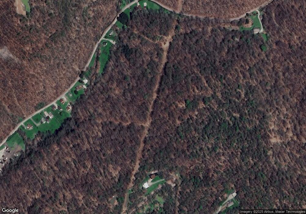
Map
Nearby Homes
- 214 and 214 1/2 Whittier St
- 369 Chestnut St
- 411 Center St
- 365 Chestnut St
- 405 5th Ave
- 597 Market St
- 221 Railroad St
- 437 Lincoln Ave
- 447 Washington Ave
- 322 Beale Ave
- 118 Lehigh Dr
- 0000 Sr-2060
- 131 Highland Dr
- 604 Spang Ave
- 153 Shuster Hollow Rd
- 381 Penn Ave
- 129 Lincoln Ave
- 126 Lincoln Ave
- 505 Locust St
- 151 Summit Ave
- 1131 Popovich Ln
- 1717 Hungry Hollow Rd
- 1725 Hungry Hollow Rd
- 1715 Hungry Hollow Rd
- 1711 Hungry Hollow Rd
- 1705 Hungry Hollow Rd
- 1709 Hungry Hollow Rd
- 1697 Hungry Hollow Rd
- 1697 Hungry Hollow Rd
- TR-307---- Maple Dr
- 1135 Watkin Ln
- 1677 Hungry Hollow Rd
- 1677 Hungry Hollow Rd
- 104 Truby Hill Rd
- 1661 Hungry Hollow Rd
- 1144 Oak Rd
- 1823 Hungry Hollow Rd
- 1823 Hungry Hollow Rd
- 1164 Watkin Ln
- 1736 Hungry Hollow Rd