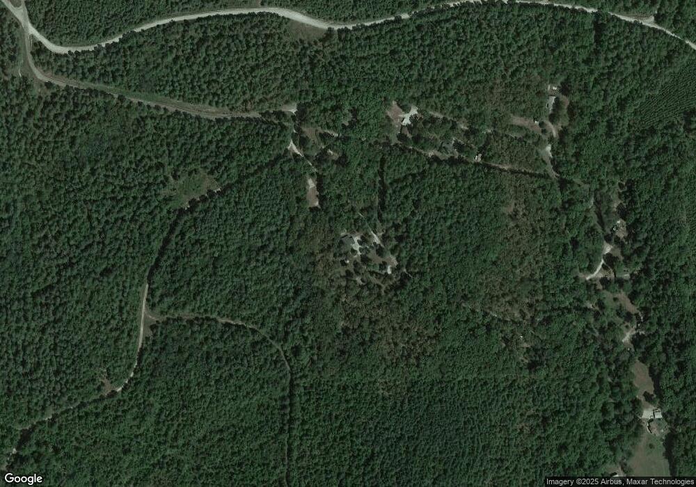
1386 Oglesby Rd Jessieville, AR 71949
Estimated Value: $189,000 - $368,207
--
Bed
2
Baths
3,069
Sq Ft
$96/Sq Ft
Est. Value
About This Home
This home is located at 1386 Oglesby Rd, Jessieville, AR 71949 and is currently estimated at $293,302, approximately $95 per square foot. 1386 Oglesby Rd is a home located in Garland County with nearby schools including Jessieville Elementary School, Jessieville Middle School, and Jessieville High School.
Ownership History
Date
Name
Owned For
Owner Type
Purchase Details
Closed on
Jun 15, 2018
Sold by
Bates Terryl E and Bates Moletia G
Bought by
Edwards Edwin F and Edwards Elizabeth H
Current Estimated Value
Purchase Details
Closed on
Apr 15, 2002
Sold by
Not Provided
Bought by
Bates Terry E and Bates Moletia G
Purchase Details
Closed on
Sep 18, 2001
Sold by
Not Provided
Bought by
Federal Home Loan Mortgage Corporation
Purchase Details
Closed on
Sep 10, 2001
Sold by
Not Provided
Bought by
Firstar Bank
Create a Home Valuation Report for This Property
The Home Valuation Report is an in-depth analysis detailing your home's value as well as a comparison with similar homes in the area
Home Values in the Area
Average Home Value in this Area
Purchase History
| Date | Buyer | Sale Price | Title Company |
|---|---|---|---|
| Edwards Edwin F | $153,000 | None Available | |
| Bates Terry E | $76,000 | -- | |
| Federal Home Loan Mortgage Corporation | -- | -- | |
| Firstar Bank | -- | -- |
Source: Public Records
Tax History Compared to Growth
Tax History
| Year | Tax Paid | Tax Assessment Tax Assessment Total Assessment is a certain percentage of the fair market value that is determined by local assessors to be the total taxable value of land and additions on the property. | Land | Improvement |
|---|---|---|---|---|
| 2025 | $1,826 | $49,810 | $2,110 | $47,700 |
| 2024 | $1,672 | $49,810 | $2,110 | $47,700 |
| 2023 | $1,544 | $49,810 | $2,110 | $47,700 |
| 2022 | $1,467 | $49,810 | $2,110 | $47,700 |
| 2021 | $1,338 | $30,410 | $1,630 | $28,780 |
| 2020 | $1,338 | $30,410 | $1,630 | $28,780 |
| 2019 | $1,286 | $30,410 | $1,630 | $28,780 |
| 2018 | $1,338 | $30,410 | $1,630 | $28,780 |
| 2017 | $1,432 | $33,860 | $5,080 | $28,780 |
| 2016 | $1,488 | $35,170 | $6,890 | $28,280 |
| 2015 | $1,488 | $35,170 | $6,890 | $28,280 |
| 2014 | $1,487 | $35,170 | $6,890 | $28,280 |
Source: Public Records
Map
Nearby Homes
- 459 Club Hill Rd
- 454 Club Hill Rd
- N Marble Church Rd
- 0 Beaudry Cir
- 217 Talley Cemetery Rd
- 200 BLOCK OF Newkirk Cir
- Lot 7 Block 4 Vestonero Way
- Lot 2 Vestonero Way
- Lot 11/Block 1 Vestonero Way
- Lot 10 Block 1 Vestonero Way
- 1 Cortez Way
- 33 Caballero Way
- 4 Quisto Cir
- 8 Cortez Ln
- Lot 5 Block 8 Segador Way
- Lot 10 Block 6 Segador Way
- Lot 6 Block 8 Segador Way
- Lot 7 Block 8 Segador Way
- Lot 10 Block 7 Segador Way
- 25 Almendra Ln
- 0 Oglesby Trail
- 1384 Oglesby Rd
- 3231 Beaudry Cir
- 0 Beaudry Cr
- 3200 Beaudry Cir
- 3100 Beaudry Cir
- 3028 Beaudry Cr
- 3025 Beaudry Cir
- 3028 Beaudry Cir
- 2901 Beaudry Cir
- 3000 Beaudry Cir
- 2851 Beaudry Cir
- 2851 Beaudry Cir
- 3555 Beaudry Cir
- 2875 Beaudry Cir
- 3572 Beaudry Cir
- 187 Ragsdale Trail
- 3601 Beaudry Cir
- 334 Ragsdale Trail
- 511 Club Hill Rd
