1387 Carson Rd New Cumberland, WV 26047
Estimated Value: $129,000 - $283,000
3
Beds
1
Bath
1,200
Sq Ft
$153/Sq Ft
Est. Value
About This Home
This home is located at 1387 Carson Rd, New Cumberland, WV 26047 and is currently estimated at $183,178, approximately $152 per square foot. 1387 Carson Rd is a home located in Hancock County.
Ownership History
Date
Name
Owned For
Owner Type
Purchase Details
Closed on
Aug 1, 2006
Sold by
Rayburn Gregg A
Bought by
Hicks William J
Current Estimated Value
Home Financials for this Owner
Home Financials are based on the most recent Mortgage that was taken out on this home.
Original Mortgage
$58,000
Outstanding Balance
$23,054
Interest Rate
6.88%
Mortgage Type
New Conventional
Estimated Equity
$160,124
Create a Home Valuation Report for This Property
The Home Valuation Report is an in-depth analysis detailing your home's value as well as a comparison with similar homes in the area
Home Values in the Area
Average Home Value in this Area
Purchase History
| Date | Buyer | Sale Price | Title Company |
|---|---|---|---|
| Hicks William J | $72,500 | None Available |
Source: Public Records
Mortgage History
| Date | Status | Borrower | Loan Amount |
|---|---|---|---|
| Open | Hicks William J | $58,000 |
Source: Public Records
Tax History Compared to Growth
Tax History
| Year | Tax Paid | Tax Assessment Tax Assessment Total Assessment is a certain percentage of the fair market value that is determined by local assessors to be the total taxable value of land and additions on the property. | Land | Improvement |
|---|---|---|---|---|
| 2025 | $605 | $45,240 | $16,980 | $28,260 |
| 2024 | $605 | $45,840 | $16,380 | $29,460 |
| 2023 | $585 | $44,460 | $15,480 | $28,980 |
| 2022 | $580 | $44,700 | $15,180 | $29,520 |
| 2021 | $575 | $44,160 | $14,880 | $29,280 |
| 2020 | $583 | $44,940 | $14,280 | $30,660 |
| 2019 | $579 | $44,040 | $14,280 | $29,760 |
| 2018 | $560 | $42,360 | $13,380 | $28,980 |
| 2017 | $543 | $40,620 | $12,780 | $27,840 |
| 2016 | $542 | $40,440 | $12,600 | $27,840 |
| 2015 | $498 | $41,370 | $12,600 | $28,770 |
| 2014 | $498 | $38,130 | $12,000 | $26,130 |
Source: Public Records
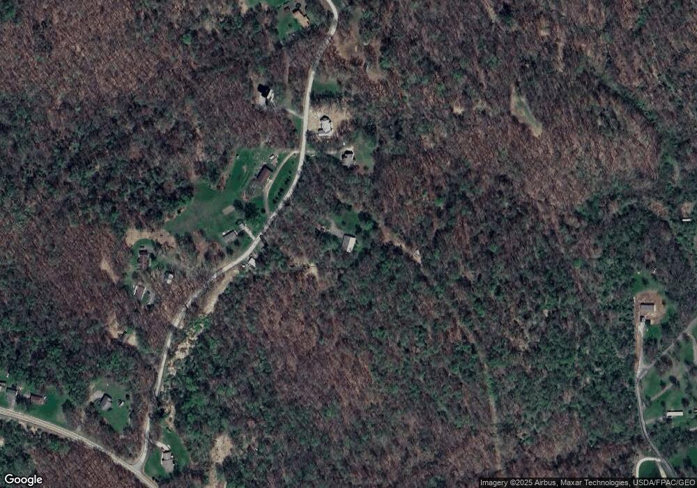
Map
Nearby Homes
- 0 Hardin Run Rd
- 2463 Frankfort Rd
- 316 Noll Rd
- 000 Florence Rd
- 139 Hardins Run Rd
- 139 Kit Dr
- 93 Canfield Dr
- 153 Lowes
- 298 Chapman Rd
- 98 Whispering Pines Ln
- 2341 Hardins Run Rd
- 4711 Veterans Blvd
- TBD Orchard Rd
- 4878 Wylie Ridge Rd
- 24 Hawthorn Ln
- 32 Locust Hill Rd
- 3 Locust Hill Rd
- 354 Frankfort Springs Rd
- 1788 Rolling Acres Rd
- 0 Holberts Run Rd
- 1339 Carson Rd
- 1339 Carson Rd
- 1380 Carson Rd
- 1420 Carson Rd
- 1270 Carson Rd
- 1464 Carson Rd
- 1222 Carson Rd
- 1554 Carson Rd
- 1623 Carson Rd
- 1606 Carson Rd
- 3177 Frankfort Rd
- 5035 Hardins Run Rd
- 5035 Hardins Run Rd
- 3353 Frankfort Rd
- 3023 Frankfort Rd
- 0 Hardins Run Rd
- 0 Hardins Run Rd Unit 4470855
- 0 Hardins Run Rd Unit T9502385
- 0 Hardins Run Rd Unit T9505271
- 0 Frankfort Rd