1387 Generals Hwy Crownsville, MD 21032
Estimated Value: $382,000 - $498,000
--
Bed
1
Bath
840
Sq Ft
$497/Sq Ft
Est. Value
About This Home
This home is located at 1387 Generals Hwy, Crownsville, MD 21032 and is currently estimated at $417,834, approximately $497 per square foot. 1387 Generals Hwy is a home located in Anne Arundel County with nearby schools including South Shore Elementary School, Old Mill High School, and Indian Creek School.
Ownership History
Date
Name
Owned For
Owner Type
Purchase Details
Closed on
Nov 12, 2021
Sold by
Eller Larry D and Eure Pennie H
Bought by
Propst Amy M
Current Estimated Value
Home Financials for this Owner
Home Financials are based on the most recent Mortgage that was taken out on this home.
Original Mortgage
$194,750
Outstanding Balance
$178,430
Interest Rate
2.98%
Mortgage Type
New Conventional
Estimated Equity
$239,404
Purchase Details
Closed on
Mar 29, 2015
Sold by
Eure Pennie H
Bought by
Eller Larry D
Create a Home Valuation Report for This Property
The Home Valuation Report is an in-depth analysis detailing your home's value as well as a comparison with similar homes in the area
Home Values in the Area
Average Home Value in this Area
Purchase History
| Date | Buyer | Sale Price | Title Company |
|---|---|---|---|
| Propst Amy M | $205,000 | Freestate Ttl Svcs Of Annapo | |
| Eller Larry D | -- | None Available |
Source: Public Records
Mortgage History
| Date | Status | Borrower | Loan Amount |
|---|---|---|---|
| Open | Propst Amy M | $194,750 |
Source: Public Records
Tax History Compared to Growth
Tax History
| Year | Tax Paid | Tax Assessment Tax Assessment Total Assessment is a certain percentage of the fair market value that is determined by local assessors to be the total taxable value of land and additions on the property. | Land | Improvement |
|---|---|---|---|---|
| 2025 | $3,773 | $294,600 | $190,900 | $103,700 |
| 2024 | $3,773 | $284,233 | $0 | $0 |
| 2023 | $3,618 | $273,867 | $0 | $0 |
| 2022 | $3,333 | $263,500 | $215,900 | $47,600 |
| 2021 | $6,666 | $263,500 | $215,900 | $47,600 |
| 2020 | $3,293 | $263,500 | $215,900 | $47,600 |
| 2019 | $6,564 | $274,800 | $225,900 | $48,900 |
| 2018 | $2,611 | $257,500 | $0 | $0 |
| 2017 | $2,817 | $240,200 | $0 | $0 |
| 2016 | -- | $222,900 | $0 | $0 |
| 2015 | -- | $216,700 | $0 | $0 |
| 2014 | -- | $210,500 | $0 | $0 |
Source: Public Records
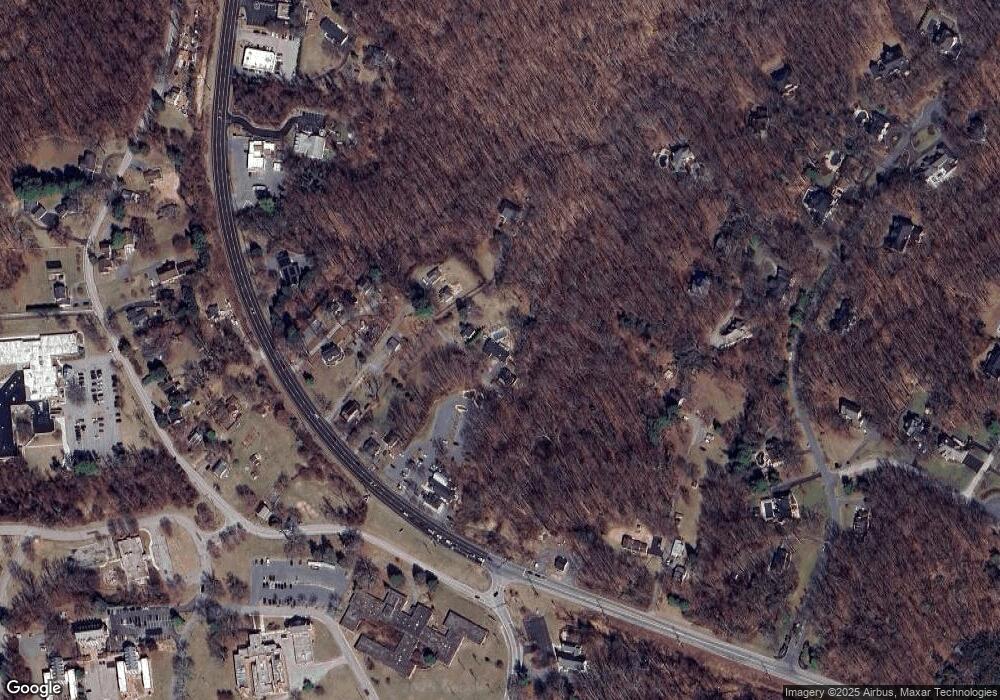
Map
Nearby Homes
- 0 Generals Hwy
- 1404 Cotton Ct
- 1603 Upton Scott Way
- 1458 Wilderness Ridge Trail
- 1080 Generals Hwy
- 0 Old Herald Harbor Rd Unit MDAA2109542
- 0 Old Herald Harbor Rd Unit MDAA2115958
- 1101 Opaca Ct
- 1496 River Rd
- 0 Yew Trail Unit MDAA2121932
- 1634 Old Generals Hwy
- 938 Diggs Rd
- 1400 Lower View Ct
- 975 Diggs Rd
- 902 Hine Trail
- 478 Mountain Rd
- 1013 Waterbury Heights Dr
- 983 Wayside Dr
- 0 Herald Harbor Rd Unit MDAA2123892
- 872 Redwood Trail
- 1389 Generals Hwy
- 1383 Generals Hwy
- 1393 Generals Hwy
- 1385 Generals Hwy
- 1397 Generals Hwy
- 1379 Generals Hwy
- 1391 Generals Hwy
- 1381 Generals Hwy
- 1377 Generals Hwy
- 1375 Generals Hwy
- 1405 Generals Hwy
- 1418 Sir William Way
- 1369 Generals Hwy
- 1401 Generals Hwy
- 1403 Generals Hwy
- 1400 Generals Hwy
- 1417 Sir William Way
- 1416 Sir William Way
- 1361 Generals Hwy
- 1469 Fairfield Loop Rd