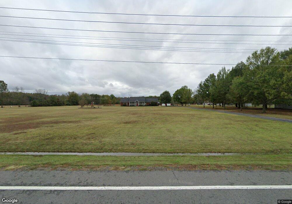
1387 Highway 236 W Lonoke, AR 72086
Estimated Value: $206,000 - $379,873
--
Bed
--
Bath
1,653
Sq Ft
$167/Sq Ft
Est. Value
About This Home
This home is located at 1387 Highway 236 W, Lonoke, AR 72086 and is currently estimated at $275,968, approximately $166 per square foot. 1387 Highway 236 W is a home with nearby schools including Lonoke Primary School, Lonoke Elementary School, and Lonoke Middle School.
Ownership History
Date
Name
Owned For
Owner Type
Purchase Details
Closed on
Mar 23, 2017
Sold by
Reynolds Darrell W and Reynolds Rhonda
Bought by
White Anthony Robert and White Kimberly Paige
Current Estimated Value
Home Financials for this Owner
Home Financials are based on the most recent Mortgage that was taken out on this home.
Original Mortgage
$279,023
Outstanding Balance
$231,317
Interest Rate
4.16%
Mortgage Type
VA
Estimated Equity
$44,651
Purchase Details
Closed on
Feb 25, 1999
Bought by
Reynolds
Purchase Details
Closed on
Jul 23, 1997
Bought by
Williams and Williams Knox
Create a Home Valuation Report for This Property
The Home Valuation Report is an in-depth analysis detailing your home's value as well as a comparison with similar homes in the area
Home Values in the Area
Average Home Value in this Area
Purchase History
| Date | Buyer | Sale Price | Title Company |
|---|---|---|---|
| White Anthony Robert | $289,900 | Liberty Title | |
| Reynolds | $125,000 | -- | |
| Reynolds | $125,000 | -- | |
| Williams | -- | -- |
Source: Public Records
Mortgage History
| Date | Status | Borrower | Loan Amount |
|---|---|---|---|
| Open | White Anthony Robert | $279,023 |
Source: Public Records
Tax History Compared to Growth
Tax History
| Year | Tax Paid | Tax Assessment Tax Assessment Total Assessment is a certain percentage of the fair market value that is determined by local assessors to be the total taxable value of land and additions on the property. | Land | Improvement |
|---|---|---|---|---|
| 2025 | $1,717 | $36,240 | $2,890 | $33,350 |
| 2024 | $1,717 | $36,240 | $2,890 | $33,350 |
| 2023 | $1,717 | $36,240 | $2,890 | $33,350 |
| 2022 | $1,717 | $36,240 | $2,890 | $33,350 |
| 2021 | $1,635 | $36,240 | $2,890 | $33,350 |
| 2020 | $1,489 | $31,330 | $2,680 | $28,650 |
| 2019 | $1,489 | $31,330 | $2,680 | $28,650 |
| 2018 | $1,139 | $31,330 | $2,680 | $28,650 |
| 2017 | $2,145 | $51,100 | $2,970 | $48,130 |
| 2016 | $2,023 | $51,100 | $2,970 | $48,130 |
| 2015 | $1,980 | $49,670 | $4,390 | $45,280 |
| 2014 | $1,980 | $49,670 | $4,390 | $45,280 |
Source: Public Records
Map
Nearby Homes
- 150 Fuscata Loop
- 20 Tower Hill Ln
- 1222 Furlow Loop
- 180 Welch Rd
- 414 Rosewood Valley
- 1D Forbus Rd
- 0 Daniel Glover Rd
- 206 Sunset Country Ln
- 165 Sunset Country Ln
- 141 Highway 294
- 000 Bratton Rd
- 44 Pleasant Meadows Cove
- 75 Charlene Dr
- 000 Opie Dr
- 3709 Sandhill Rd
- 132 Bullet Rd
- 540 Romine Rd
- 224 Bobwhite Trail
- 455 Bobwhite Hollow
- 305 Rifle Ln
- 1591 Highway 236 W
- 1468 Highway 236 W
- 1297 Highway 236 W
- 1605 Highway 236 W
- 1389 Highway 236 W
- 1389 Highway 236 W
- 1635 Highway 236 W
- 1650 Highway 236 W
- 1141 Highway 236 W
- 1072 Highway 236 W
- 1795 Highway 236 W
- 1723 Highway 236 W
- 1723 Highway 236 W
- 1723 Highway 236 W
- W Highway 236
- 987 Highway 236 W
- 986 Arkansas 236
- 986 Highway 236 W
- 1021 Highway 236 W
- 1578 N Johnson Rd