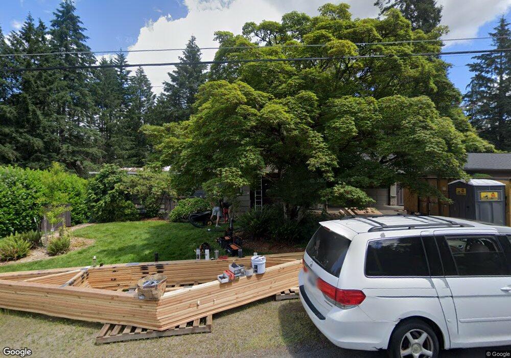
1387 SW Maplecrest Dr Portland, OR 97219
Marshall Park NeighborhoodEstimated Value: $926,000 - $1,182,000
4
Beds
2
Baths
4,038
Sq Ft
$257/Sq Ft
Est. Value
About This Home
This home is located at 1387 SW Maplecrest Dr, Portland, OR 97219 and is currently estimated at $1,038,505, approximately $257 per square foot. 1387 SW Maplecrest Dr is a home located in Multnomah County with nearby schools including Stephenson Elementary School, Jackson Middle School, and Ida B. Wells-Barnett High School.
Ownership History
Date
Name
Owned For
Owner Type
Purchase Details
Closed on
Aug 27, 2025
Sold by
Reiss Michael E and Reiss Lina
Bought by
Mlj Trust and Reiss
Current Estimated Value
Purchase Details
Closed on
Oct 27, 2009
Sold by
Street Richard I
Bought by
Reiss Michael E and Reiss Lina
Home Financials for this Owner
Home Financials are based on the most recent Mortgage that was taken out on this home.
Original Mortgage
$257,000
Interest Rate
5%
Mortgage Type
New Conventional
Purchase Details
Closed on
Jun 16, 1995
Sold by
Gustafson Virginia L and Lucker Stephen C
Bought by
Street Richard I and Street Katharine J
Home Financials for this Owner
Home Financials are based on the most recent Mortgage that was taken out on this home.
Original Mortgage
$133,900
Interest Rate
8.37%
Mortgage Type
Purchase Money Mortgage
Create a Home Valuation Report for This Property
The Home Valuation Report is an in-depth analysis detailing your home's value as well as a comparison with similar homes in the area
Home Values in the Area
Average Home Value in this Area
Purchase History
| Date | Buyer | Sale Price | Title Company |
|---|---|---|---|
| Mlj Trust | -- | None Listed On Document | |
| Reiss Michael E | $507,500 | Ticor Title | |
| Street Richard I | $206,400 | Stewart Title |
Source: Public Records
Mortgage History
| Date | Status | Borrower | Loan Amount |
|---|---|---|---|
| Previous Owner | Reiss Michael E | $257,000 | |
| Previous Owner | Street Richard I | $133,900 |
Source: Public Records
Tax History Compared to Growth
Tax History
| Year | Tax Paid | Tax Assessment Tax Assessment Total Assessment is a certain percentage of the fair market value that is determined by local assessors to be the total taxable value of land and additions on the property. | Land | Improvement |
|---|---|---|---|---|
| 2025 | $14,364 | $533,590 | -- | -- |
| 2024 | $13,848 | $518,050 | -- | -- |
| 2023 | $13,315 | $502,970 | $0 | $0 |
| 2022 | $13,027 | $488,330 | $0 | $0 |
| 2021 | $12,807 | $474,110 | $0 | $0 |
| 2020 | $11,748 | $460,310 | $0 | $0 |
| 2019 | $11,316 | $446,910 | $0 | $0 |
| 2018 | $10,983 | $433,900 | $0 | $0 |
| 2017 | $10,527 | $421,270 | $0 | $0 |
| 2016 | $9,633 | $409,000 | $0 | $0 |
| 2015 | $7,541 | $319,250 | $0 | $0 |
| 2014 | $7,383 | $309,960 | $0 | $0 |
Source: Public Records
Map
Nearby Homes
- 1620 SW Maplecrest Dr
- 10850 SW Creightonwood Place
- 0 SW Lancaster Rd Unit 722439051
- 0 SW Lancaster Rd Unit 540028719
- 9375 SW 8th Ave
- 9341 SW 8th Ave
- 9855 SW 25th Ave
- 1035 SW Palatine St
- 1845 SW Taylors Ferry Rd
- 0 SW Taylors Ferry Ct Unit 171663449
- 1345 SW Taylors Ferry Ct
- 9320 SW Boones Ferry Rd
- 2249 SW Taylors Ferry Rd
- 9224 SW 26th Ave
- 8921 SW 7th Ave
- 2731 SW 28th Dr
- 1515 SW Carson St
- 1323 SW Carson St
- 9818 SW 34th Place
- 9822 SW 34th Place
- 1355 SW Maplecrest Dr
- 1393 SW Maplecrest Dr
- 1378 SW Maplecrest Dr
- 1409 SW Maplecrest Dr
- 1321 SW Maplecrest Dr
- 1390 SW Maplecrest Dr
- 1350 SW Maplecrest Dr
- 1313 SW Maplecrest Dr
- 1406 SW Maplecrest Dr
- 1272 SW Maplecrest Dr
- 1322 SW Maplecrest Dr
- 1322 SW Maplecrest(adjacent) Dr
- 10319 SW 14th Dr
- 1424 SW Maplecrest Dr
- 10317 SW 14th Dr
- 1682 SW Maplecrest Dr
- 1310 SW Maplecrest Dr
- 1670 SW Maplecrest Dr
- 1445 SW Maplecrest Dr
- 10298 SW Lancaster Rd