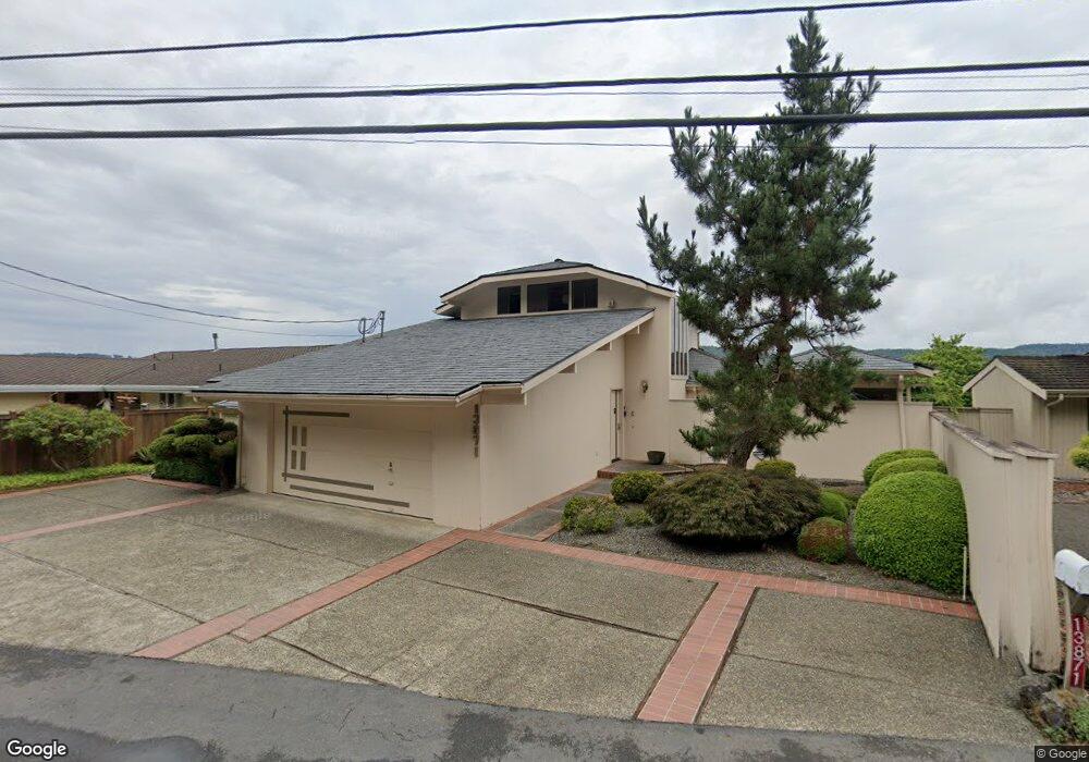
13871 E State Route 106 Belfair, WA 98528
Estimated Value: $902,000 - $1,465,000
3
Beds
3
Baths
2,355
Sq Ft
$529/Sq Ft
Est. Value
About This Home
This home is located at 13871 E State Route 106, Belfair, WA 98528 and is currently estimated at $1,245,517, approximately $528 per square foot. 13871 E State Route 106 is a home with nearby schools including North Mason Senior High School.
Ownership History
Date
Name
Owned For
Owner Type
Purchase Details
Closed on
Feb 2, 2025
Sold by
Eec Irrevocable Trust and Johnston Jim
Bought by
Collins Roger and Collins Kimberly
Current Estimated Value
Purchase Details
Closed on
Dec 7, 2021
Sold by
Collins Roger and Collins Kimberly
Bought by
Eec Irrevocable Trust
Purchase Details
Closed on
Oct 28, 2021
Sold by
Collins Investments Llc
Bought by
Collins Roger and Collins Kimberly
Purchase Details
Closed on
Jul 31, 2015
Sold by
Dick Carol L
Bought by
Collins Investments Llc
Create a Home Valuation Report for This Property
The Home Valuation Report is an in-depth analysis detailing your home's value as well as a comparison with similar homes in the area
Home Values in the Area
Average Home Value in this Area
Purchase History
| Date | Buyer | Sale Price | Title Company |
|---|---|---|---|
| Collins Roger | $10,000 | None Listed On Document | |
| Eec Irrevocable Trust | -- | Chicago Title Insurance Co | |
| Eec Irrevocable Trust | -- | Chicago Title Insurance Co | |
| Collins Roger | -- | Accommodation | |
| Collins Roger | -- | Accommodation | |
| Collins Investments Llc | $670,000 | Land Title Co |
Source: Public Records
Tax History Compared to Growth
Tax History
| Year | Tax Paid | Tax Assessment Tax Assessment Total Assessment is a certain percentage of the fair market value that is determined by local assessors to be the total taxable value of land and additions on the property. | Land | Improvement |
|---|---|---|---|---|
| 2025 | $9,915 | $1,217,525 | $209,280 | $1,008,245 |
| 2023 | $9,915 | $864,230 | $363,485 | $500,745 |
| 2022 | $8,067 | $883,300 | $211,115 | $672,185 |
| 2021 | $5,697 | $883,300 | $211,115 | $672,185 |
| 2020 | $6,889 | $636,330 | $199,250 | $437,080 |
| 2018 | $6,573 | $565,480 | $265,670 | $299,810 |
| 2017 | $5,974 | $565,485 | $265,675 | $299,810 |
| 2016 | $7,216 | $525,580 | $253,025 | $272,555 |
| 2015 | $7,316 | $640,085 | $335,560 | $304,525 |
| 2014 | -- | $639,630 | $350,640 | $288,990 |
| 2013 | -- | $618,995 | $339,330 | $279,665 |
Source: Public Records
Map
Nearby Homes
- 14103 E State Route 106
- 14160 Washington 106
- 131 E Mountain View Ln
- 14191 Washington 106
- 13540 E State Route 106
- 48 E Twanoh Heights Rd N
- 151 E Hillside Dr
- 14341 Washington 106
- 231 E Heights Place N
- 400 E Twanoh Falls Dr
- 60 E Christmas Tree Place
- 110 E Canyon View Rd
- 121 E Woods Place
- 61 E Woods Place
- 15401 Washington 106
- 7150 NE North Shore Rd
- 70 E Windy Ridge Ln
- 51 E Windy Ridge Ln
- 0 NE North Shore Rd Unit NWM2375952
- 0 NE North Shore Rd Unit NWM2347029
- 13861 E State Route 106
- 13861 Washington 106
- 13891 E State Route 106
- 13911 E State Route 106
- 13841 E State Route 106
- 13910 E State Route 106
- 13821 E State Route 106
- 13811 Washington 106
- 13811 E State Route 106
- 290 E Forest Ln
- 13960 E State Route 106
- 13801 E State Route 106
- 13990 E State Route 106
- 250 E Forest Ln
- 13781 E State Route 106
- 13990 Washington 106
- 13992 Washington 106
- 13992 E State Route 106
- 13761 E State Route 106