13871 Keyser Rd MacKinaw, IL 61755
Estimated Value: $280,000 - $567,911
3
Beds
2
Baths
6,908
Sq Ft
$62/Sq Ft
Est. Value
About This Home
This home is located at 13871 Keyser Rd, MacKinaw, IL 61755 and is currently estimated at $428,478, approximately $62 per square foot. 13871 Keyser Rd is a home located in Tazewell County with nearby schools including Dee-Mack Primary/Junior High School, Dee-Mack Intermediate School, and Dee-Mack High School.
Ownership History
Date
Name
Owned For
Owner Type
Purchase Details
Closed on
Mar 12, 2010
Sold by
Keyser Jeffrey D and Keyser Chelsea
Bought by
Keyser Jeffrey D and Keyser Chelsea D
Current Estimated Value
Home Financials for this Owner
Home Financials are based on the most recent Mortgage that was taken out on this home.
Original Mortgage
$101,800
Interest Rate
4.38%
Mortgage Type
New Conventional
Create a Home Valuation Report for This Property
The Home Valuation Report is an in-depth analysis detailing your home's value as well as a comparison with similar homes in the area
Home Values in the Area
Average Home Value in this Area
Purchase History
| Date | Buyer | Sale Price | Title Company |
|---|---|---|---|
| Keyser Jeffrey D | -- | First Community Title Svcs |
Source: Public Records
Mortgage History
| Date | Status | Borrower | Loan Amount |
|---|---|---|---|
| Previous Owner | Keyser Jeffrey D | $160,000 | |
| Previous Owner | Keyser Jeffrey D | $101,800 |
Source: Public Records
Tax History Compared to Growth
Tax History
| Year | Tax Paid | Tax Assessment Tax Assessment Total Assessment is a certain percentage of the fair market value that is determined by local assessors to be the total taxable value of land and additions on the property. | Land | Improvement |
|---|---|---|---|---|
| 2024 | $4,057 | $158,040 | $12,760 | $145,280 |
| 2023 | $4,057 | -- | -- | -- |
| 2022 | $4,057 | $60,960 | $10,230 | $50,730 |
| 2021 | $3,921 | $58,570 | $9,790 | $48,780 |
| 2020 | $3,825 | $56,800 | $9,440 | $47,360 |
| 2019 | $3,846 | $56,700 | $9,340 | $47,360 |
| 2018 | $3,807 | $56,600 | $9,240 | $47,360 |
| 2017 | $3,751 | $54,560 | $7,670 | $46,890 |
| 2016 | $3,715 | $54,560 | $7,670 | $46,890 |
| 2015 | $3,251 | $0 | $0 | $0 |
| 2013 | $3,029 | $49,680 | $5,140 | $44,540 |
Source: Public Records
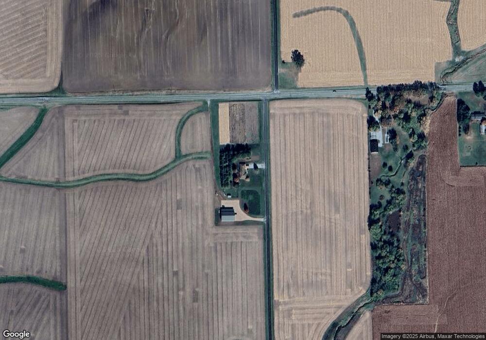
Map
Nearby Homes
- 16 Wilshire Wood Dr
- 801 Heritage Dr
- 7 Tiffany Ct
- 614 Brendalyn Dr
- 0 Illinois 9
- 10 Summit Dr
- 213 Tulip Dr
- 204 Tulip Dr
- 212 S Monroe St
- 30748 Grandview Terrace
- 29724 Allentown Rd
- 29875 White Oak Dr
- 30403 Hancock Rd
- 18196 River Rd
- 613 N School St
- 305 E Martin Dr
- 510 N Maple Ave
- 300 Oak Valley Dr
- 109 S Eastern Ave
- 314 S Maple Ave
- 32379 State Route 9
- 32379 Illinois 9
- 32579 State Route 9
- 14351 Coil Rd
- 14351 Coil Rd
- 32803 State Route 9
- 13463 Appenzeller Rd
- 32031 Fast Ave
- 32519 Fast Ave
- 14194 Appenzeller Rd
- 31449 State Route 9
- 31356 State Route 9
- 31625 Fast Ave
- 7 Elizabeth Way
- 231 Westminster Dr
- 31919 Fast Ave
- 233 Westminster Dr
- 14312 Appenzeller Rd
- 235 Westminster Dr
- 239 Westminster Dr