13875 E Us 62 Hwy E Rogers, AR 72756
Estimated Value: $439,000 - $517,000
--
Bed
--
Bath
2,234
Sq Ft
$214/Sq Ft
Est. Value
About This Home
This home is located at 13875 E Us 62 Hwy E, Rogers, AR 72756 and is currently estimated at $476,998, approximately $213 per square foot. 13875 E Us 62 Hwy E is a home with nearby schools including Grace Hill Elementary School, Oakdale Middle School, and Rogers Heritage High School.
Ownership History
Date
Name
Owned For
Owner Type
Purchase Details
Closed on
Jul 3, 2012
Sold by
Williamson Carl Stanley and Williamson Julia A
Bought by
Arkansas State Highway Commission
Current Estimated Value
Purchase Details
Closed on
Apr 12, 1991
Bought by
Williamson
Purchase Details
Closed on
Mar 15, 1984
Bought by
Brush
Create a Home Valuation Report for This Property
The Home Valuation Report is an in-depth analysis detailing your home's value as well as a comparison with similar homes in the area
Home Values in the Area
Average Home Value in this Area
Purchase History
| Date | Buyer | Sale Price | Title Company |
|---|---|---|---|
| Arkansas State Highway Commission | $14,450 | David S Long Title Attorney | |
| Williamson | $83,000 | -- | |
| Brush | -- | -- |
Source: Public Records
Tax History Compared to Growth
Tax History
| Year | Tax Paid | Tax Assessment Tax Assessment Total Assessment is a certain percentage of the fair market value that is determined by local assessors to be the total taxable value of land and additions on the property. | Land | Improvement |
|---|---|---|---|---|
| 2025 | $1,501 | $87,038 | $29,000 | $58,038 |
| 2024 | $1,416 | $87,038 | $29,000 | $58,038 |
| 2023 | $1,416 | $57,850 | $11,020 | $46,830 |
| 2022 | $1,297 | $57,850 | $11,020 | $46,830 |
| 2021 | $1,293 | $57,850 | $11,020 | $46,830 |
| 2020 | $1,294 | $39,230 | $4,350 | $34,880 |
| 2019 | $1,294 | $39,230 | $4,350 | $34,880 |
| 2018 | $1,319 | $39,230 | $4,350 | $34,880 |
| 2017 | $1,216 | $39,230 | $4,350 | $34,880 |
| 2016 | $1,216 | $39,230 | $4,350 | $34,880 |
| 2015 | $1,416 | $29,440 | $2,610 | $26,830 |
| 2014 | $1,216 | $29,440 | $2,610 | $26,830 |
Source: Public Records
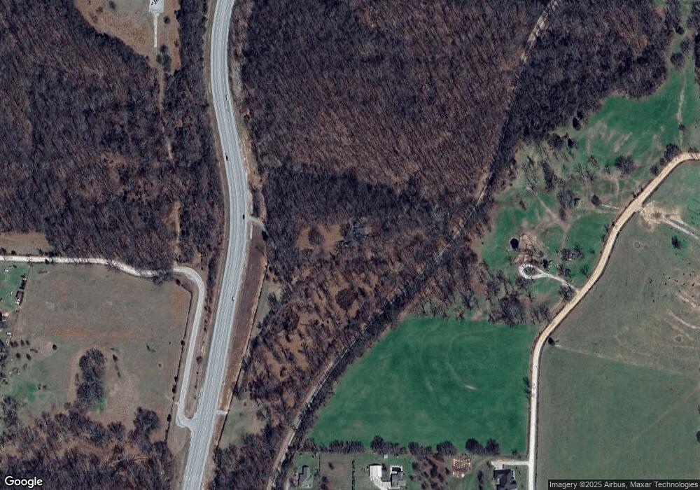
Map
Nearby Homes
- 12526 Avoca Hollow Dr
- 469 Sheppard Rd
- 13585 Andy Jack Rd
- 0 Rader Rd Unit 1290308
- TBD Rader Rd
- 13482 Sugar Creek Rd
- 329 Rader Rd
- 969 Rader Rd
- 13610 Degraff Rd
- 13124 Scenic Dr
- GARLAND Plan at Tall Tree
- HOLDEN Plan at Tall Tree
- 989 Red Cedar Place
- 15049 White Fawn Dr
- 15072 White Fawn Dr
- 15112 Mills Terrace
- 905 Prairie Creek Rd N
- 2612 Fairway Cir
- 1596 Winters St
- 2170 Hopkins Ln
- 0 N Hwy 62 Unit 1265527
- 0 N Hwy 62 Unit 622367
- 0 N Hwy 62 Unit 1148834
- 0 Hwy 62 Unit 1108854
- 0 Hwy 62 Unit 1087018
- 0 Hwy 62 Unit 1087014
- 12779 N Old Wire Rd
- 12615 N Old Wire Rd
- 12625 N Old Wire Rd
- 12637 N Old Wire Rd
- 13945 Sugar Creek Rd
- 12619 N Old Wire Rd
- 12617 N Old Wire Rd
- 12613 N Old Wire Rd
- 12609 N Old Wire Rd
- 10Ac E Hwy 62
- 13654 Andy Jack Rd
- 518 Pearl Ave
- 0 Russell Rd
- 662 Russell Rd