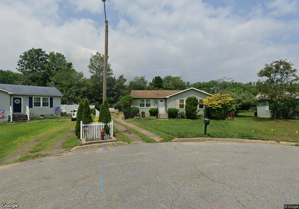
1388 Aino Ln Vineland, NJ 08360
Estimated Value: $277,845 - $302,000
--
Bed
--
Bath
1,104
Sq Ft
$259/Sq Ft
Est. Value
About This Home
This home is located at 1388 Aino Ln, Vineland, NJ 08360 and is currently estimated at $285,711, approximately $258 per square foot. 1388 Aino Ln is a home located in Cumberland County with nearby schools including Marie D. Durand Elementary School, T.W. Wallace Middle School, and Vineland Senior High School.
Ownership History
Date
Name
Owned For
Owner Type
Purchase Details
Closed on
Feb 11, 2000
Sold by
Federal Housing Administration
Bought by
Moreno Nilda R
Current Estimated Value
Home Financials for this Owner
Home Financials are based on the most recent Mortgage that was taken out on this home.
Original Mortgage
$58,300
Outstanding Balance
$19,301
Interest Rate
8.18%
Mortgage Type
FHA
Estimated Equity
$266,410
Create a Home Valuation Report for This Property
The Home Valuation Report is an in-depth analysis detailing your home's value as well as a comparison with similar homes in the area
Home Values in the Area
Average Home Value in this Area
Purchase History
| Date | Buyer | Sale Price | Title Company |
|---|---|---|---|
| Moreno Nilda R | $60,126 | -- |
Source: Public Records
Mortgage History
| Date | Status | Borrower | Loan Amount |
|---|---|---|---|
| Open | Moreno Nilda R | $58,300 |
Source: Public Records
Tax History Compared to Growth
Tax History
| Year | Tax Paid | Tax Assessment Tax Assessment Total Assessment is a certain percentage of the fair market value that is determined by local assessors to be the total taxable value of land and additions on the property. | Land | Improvement |
|---|---|---|---|---|
| 2025 | $4,222 | $132,600 | $30,400 | $102,200 |
| 2024 | $4,222 | $132,600 | $30,400 | $102,200 |
| 2023 | $4,194 | $132,600 | $30,400 | $102,200 |
| 2022 | $4,069 | $132,600 | $30,400 | $102,200 |
| 2021 | $3,995 | $132,600 | $30,400 | $102,200 |
| 2020 | $3,881 | $132,600 | $30,400 | $102,200 |
| 2019 | $3,828 | $132,600 | $30,400 | $102,200 |
| 2018 | $3,727 | $132,600 | $30,400 | $102,200 |
| 2017 | $3,540 | $132,600 | $30,400 | $102,200 |
| 2016 | $3,416 | $132,600 | $30,400 | $102,200 |
| 2015 | $3,290 | $132,600 | $30,400 | $102,200 |
| 2014 | $3,111 | $132,600 | $30,400 | $102,200 |
Source: Public Records
Map
Nearby Homes
- 1252 W Oak Rd
- 1230 Almond Rd
- 1489 N Delsea Dr
- 663 Wayne Ave
- 1811 N Delsea Dr Unit 4
- 550 Northwest Ave
- 1887 N Delsea Dr Unit 135 HOLLY HOCK DR.
- 1887 N Delsea Dr Unit 19
- 1887 N Delsea Dr Unit 39
- 1535 W Landis Ave
- 1457 W Landis Ave
- 225 Laurel St
- 0 W Landis Ave
- 108 W Park Ave
- 1799 W Landis Ave
- 127 Doren Terrace
- 317 Oxford St
- 829 W Garden Rd
- 811 W Garden Rd
- 2246 N West Ave