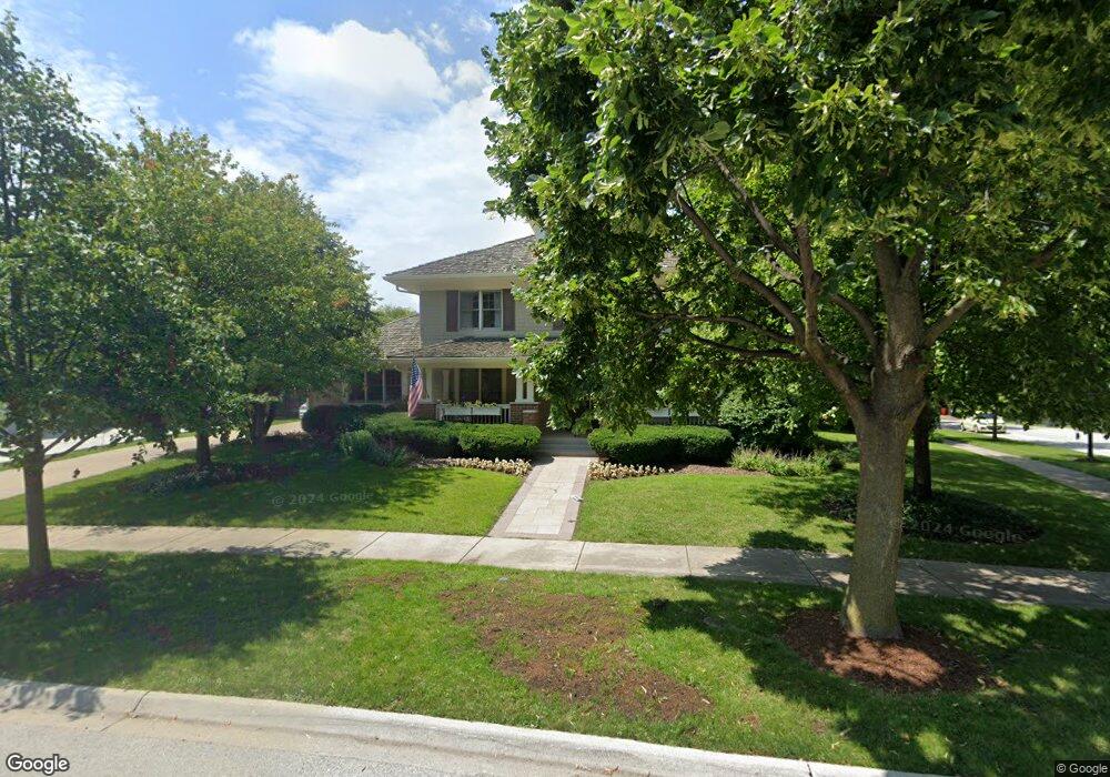
1388 Bennington Ct Unit 1 Glenview, IL 60026
The Glen NeighborhoodEstimated Value: $1,759,000 - $2,215,000
5
Beds
6
Baths
4,700
Sq Ft
$420/Sq Ft
Est. Value
About This Home
This home is located at 1388 Bennington Ct Unit 1, Glenview, IL 60026 and is currently estimated at $1,975,573, approximately $420 per square foot. 1388 Bennington Ct Unit 1 is a home located in Cook County with nearby schools including Westbrook Elementary School, Glen Grove Elementary School, and Attea Middle School.
Ownership History
Date
Name
Owned For
Owner Type
Purchase Details
Closed on
Apr 29, 2015
Sold by
Atg Trust Company
Bought by
The Michael & Kathryn Mckay Joint Trust
Current Estimated Value
Home Financials for this Owner
Home Financials are based on the most recent Mortgage that was taken out on this home.
Original Mortgage
$1,216,000
Outstanding Balance
$939,136
Interest Rate
3.75%
Mortgage Type
New Conventional
Estimated Equity
$1,036,437
Purchase Details
Closed on
Dec 26, 2001
Sold by
Glenbase Venture
Bought by
The Northern Trust Bank and Trust #9926
Home Financials for this Owner
Home Financials are based on the most recent Mortgage that was taken out on this home.
Original Mortgage
$819,050
Interest Rate
5.5%
Mortgage Type
Purchase Money Mortgage
Create a Home Valuation Report for This Property
The Home Valuation Report is an in-depth analysis detailing your home's value as well as a comparison with similar homes in the area
Home Values in the Area
Average Home Value in this Area
Purchase History
| Date | Buyer | Sale Price | Title Company |
|---|---|---|---|
| The Michael & Kathryn Mckay Joint Trust | $1,520,000 | Git | |
| The Northern Trust Bank | $1,064,000 | -- |
Source: Public Records
Mortgage History
| Date | Status | Borrower | Loan Amount |
|---|---|---|---|
| Open | The Michael & Kathryn Mckay Joint Trust | $1,216,000 | |
| Previous Owner | The Northern Trust Bank | $819,050 | |
| Closed | The Northern Trust Bank | $54,604 |
Source: Public Records
Tax History Compared to Growth
Tax History
| Year | Tax Paid | Tax Assessment Tax Assessment Total Assessment is a certain percentage of the fair market value that is determined by local assessors to be the total taxable value of land and additions on the property. | Land | Improvement |
|---|---|---|---|---|
| 2024 | $27,819 | $121,130 | $48,620 | $72,510 |
| 2023 | $27,012 | $129,000 | $48,620 | $80,380 |
| 2022 | $27,012 | $129,000 | $48,620 | $80,380 |
| 2021 | $24,409 | $101,401 | $23,337 | $78,064 |
| 2020 | $25,172 | $105,451 | $23,337 | $82,114 |
| 2019 | $23,455 | $115,881 | $23,337 | $92,544 |
| 2018 | $20,787 | $93,816 | $20,420 | $73,396 |
| 2017 | $23,614 | $108,862 | $20,420 | $88,442 |
| 2016 | $22,499 | $108,862 | $20,420 | $88,442 |
| 2015 | $20,816 | $90,035 | $16,530 | $73,505 |
| 2014 | $20,448 | $90,035 | $16,530 | $73,505 |
| 2013 | $19,811 | $90,035 | $16,530 | $73,505 |
Source: Public Records
Map
Nearby Homes
- 2750 Langley Cir Unit 203013
- 3081 Saratoga Ln
- 2701 Commons Dr Unit 210
- 1045 Crystal Ct
- 3212 Lindenwood Ln
- 1891 Admiral Ct Unit 79
- 1619 Patriot Blvd
- 1867 Admiral Ct Unit 91
- 1615 Greenwood Rd
- 1735 Patriot Blvd
- 1088 Shermer Rd Unit DW
- 3335 Elmdale Rd
- 2005 Valor Ct Unit 43
- 2156 Rugen Rd Unit A
- 1704 Executive Ln
- 705 Glendale Rd
- 616 Glendale Rd
- 2121 Fir St
- 608 Glenwood Ln
- 2137 Glenview Rd
- 1378 Bennington Ct
- 2851 Independence Ave
- 2867 Independence Ave
- 1347 Prairie Lawn Rd
- 1368 Bennington Ct
- 1341 Prairie Lawn Rd
- 2846 Independence Ave
- 2860 Independence Ave
- 1333 Prairie Lawn Rd
- 2832 Independence Ave
- 2883 Independence Ave Unit 2
- 2874 Independence Ave
- 1358 Bennington Ct
- 1327 Prairie Lawn Rd
- 2818 Independence Ave
- 2888 Independence Ave
- 1321 Prairie Lawn Rd
- 1348 Bennington Ct
- 2804 Independence Ave
- 2800 Independence Ave