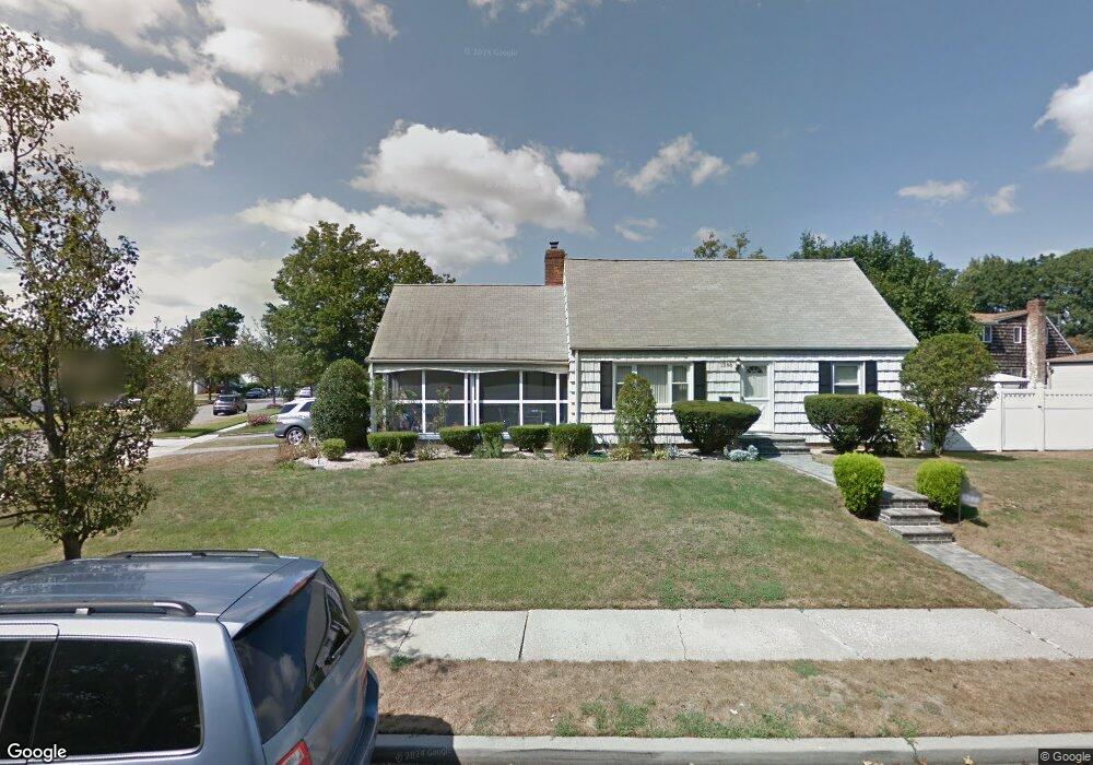
1388 Circle Dr E North Baldwin, NY 11510
Estimated Value: $707,900 - $729,000
4
Beds
2
Baths
1,260
Sq Ft
$570/Sq Ft
Est. Value
About This Home
This home is located at 1388 Circle Dr E, North Baldwin, NY 11510 and is currently estimated at $718,450, approximately $570 per square foot. 1388 Circle Dr E is a home located in Nassau County with nearby schools including Baldwin Senior High School and Roosevelt Children's Academy.
Ownership History
Date
Name
Owned For
Owner Type
Purchase Details
Closed on
Apr 11, 2014
Sold by
Machado Jose and Robinson Machado Joan
Bought by
Belgrave Ivor and Belgrave Verna
Current Estimated Value
Home Financials for this Owner
Home Financials are based on the most recent Mortgage that was taken out on this home.
Original Mortgage
$314,204
Outstanding Balance
$242,488
Interest Rate
4.75%
Mortgage Type
FHA
Estimated Equity
$475,962
Purchase Details
Closed on
Dec 1, 1995
Sold by
Levitsky Gary
Bought by
Machado Jose and Machado Joan
Home Financials for this Owner
Home Financials are based on the most recent Mortgage that was taken out on this home.
Original Mortgage
$144,800
Interest Rate
7.43%
Create a Home Valuation Report for This Property
The Home Valuation Report is an in-depth analysis detailing your home's value as well as a comparison with similar homes in the area
Home Values in the Area
Average Home Value in this Area
Purchase History
| Date | Buyer | Sale Price | Title Company |
|---|---|---|---|
| Belgrave Ivor | $320,000 | New Alliance Abstract Corp | |
| Machado Jose | $145,000 | -- |
Source: Public Records
Mortgage History
| Date | Status | Borrower | Loan Amount |
|---|---|---|---|
| Open | Belgrave Ivor | $314,204 | |
| Previous Owner | Machado Jose | $144,800 |
Source: Public Records
Tax History
| Year | Tax Paid | Tax Assessment Tax Assessment Total Assessment is a certain percentage of the fair market value that is determined by local assessors to be the total taxable value of land and additions on the property. | Land | Improvement |
|---|---|---|---|---|
| 2025 | $13,378 | $469 | $175 | $294 |
| 2024 | $3,618 | $469 | $175 | $294 |
Source: Public Records
Map
Nearby Homes
- 62 Alhambra Rd
- 31 Cedar St
- 1009 Centennial Ave
- 201 Brookside Ave
- 1154 Cramer Ct
- 1070 Cramer Ct
- 1426 Forest Ave
- 1091 Cramer Ct
- 1459 Prince St
- 1503 Paul St
- 156 Brookside Ave
- 869 De Mott Ave
- 315 Maryland Ave
- 87 W Clinton Ave
- 111 W Centennial Ave
- 86 W Clinton Ave
- 76 Henry St
- 980 Wallace Ave
- 325 Pennsylvania Ave
- 915 Wallace Ave
- 37 Henhawk Rd
- 35 Henhawk Rd
- 1084 Ardmore Rd
- 1074 Ardmore Rd
- 1385 Circle Dr E
- 1068 Ardmore Rd
- 6 Circle Dr E
- 33 Henhawk Rd
- 1377 Circle Dr E
- 1062 Ardmore Rd
- 10 Henhawk Rd
- 31 Henhawk Rd
- 1369 Circle Dr E
- 259 Brookside Ave
- 255 Brookside Ave
- 263 Brookside Ave
- 1054 Ardmore Rd
- 259 Brookside Ave
- 267 Brookside Ave
- 251 Brookside Ave
Your Personal Tour Guide
Ask me questions while you tour the home.