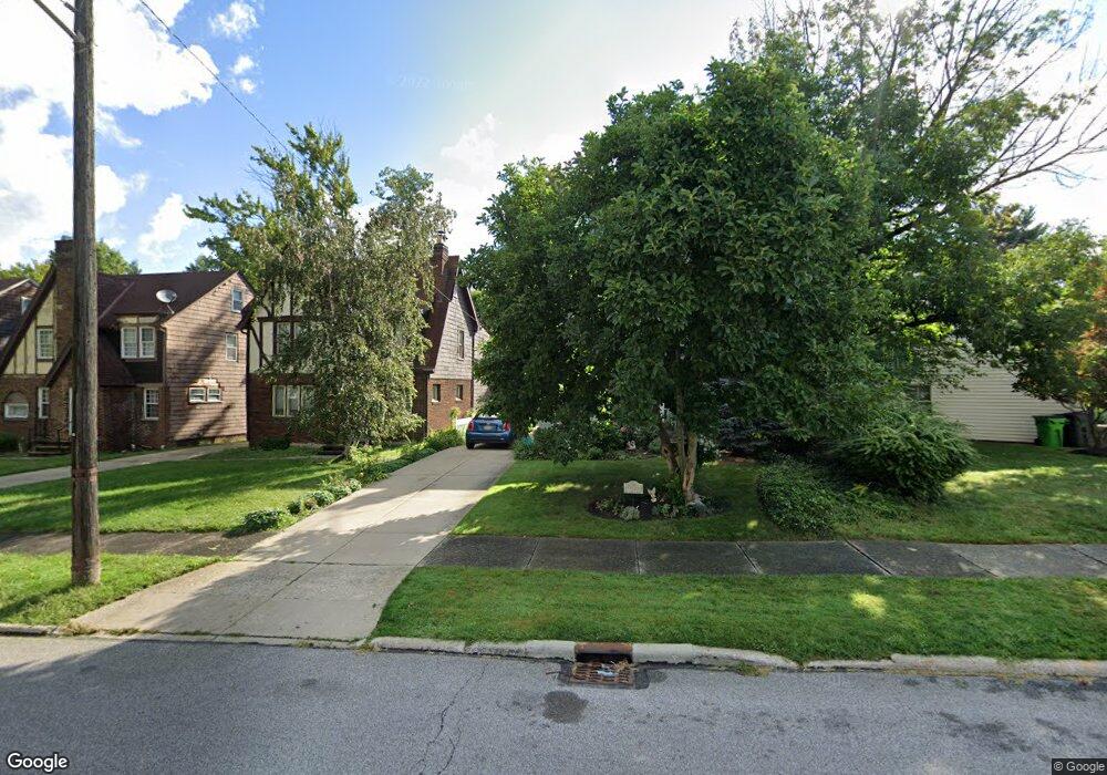
1388 Dorsch Rd South Euclid, OH 44121
Estimated Value: $232,000 - $282,000
4
Beds
3
Baths
1,786
Sq Ft
$142/Sq Ft
Est. Value
About This Home
This home is located at 1388 Dorsch Rd, South Euclid, OH 44121 and is currently estimated at $253,143, approximately $141 per square foot. 1388 Dorsch Rd is a home located in Cuyahoga County with nearby schools including Rowland Elementary School, Greenview Upper Elementary School, and Memorial Junior High School.
Ownership History
Date
Name
Owned For
Owner Type
Purchase Details
Closed on
Sep 22, 2016
Sold by
Activity Holding Ii Llc
Bought by
Bivins Ashley N
Current Estimated Value
Home Financials for this Owner
Home Financials are based on the most recent Mortgage that was taken out on this home.
Original Mortgage
$143,355
Outstanding Balance
$113,839
Interest Rate
3.25%
Mortgage Type
FHA
Estimated Equity
$139,304
Purchase Details
Closed on
Sep 16, 2015
Sold by
Gregg John W
Bought by
Activity Holding Ii Llc
Purchase Details
Closed on
Jun 6, 2011
Sold by
Dollar Bank Federal Savings Bank
Bought by
Gregg John W
Purchase Details
Closed on
Mar 16, 2011
Sold by
Valsi Louis
Bought by
Dollar Bank Fsb
Purchase Details
Closed on
Jan 1, 1975
Bought by
Valsi Elsie
Create a Home Valuation Report for This Property
The Home Valuation Report is an in-depth analysis detailing your home's value as well as a comparison with similar homes in the area
Home Values in the Area
Average Home Value in this Area
Purchase History
| Date | Buyer | Sale Price | Title Company |
|---|---|---|---|
| Bivins Ashley N | $146,000 | Ohio Real Title | |
| Activity Holding Ii Llc | $28,780 | None Available | |
| Gregg John W | $30,000 | Ohio Title Corp | |
| Dollar Bank Fsb | $56,667 | Public | |
| Valsi Elsie | -- | -- |
Source: Public Records
Mortgage History
| Date | Status | Borrower | Loan Amount |
|---|---|---|---|
| Open | Bivins Ashley N | $143,355 |
Source: Public Records
Tax History Compared to Growth
Tax History
| Year | Tax Paid | Tax Assessment Tax Assessment Total Assessment is a certain percentage of the fair market value that is determined by local assessors to be the total taxable value of land and additions on the property. | Land | Improvement |
|---|---|---|---|---|
| 2024 | $5,554 | $73,045 | $12,180 | $60,865 |
| 2023 | $5,055 | $54,010 | $9,240 | $44,770 |
| 2022 | $5,078 | $54,005 | $9,240 | $44,765 |
| 2021 | $5,038 | $54,010 | $9,240 | $44,770 |
| 2020 | $4,978 | $46,590 | $7,980 | $38,610 |
| 2019 | $4,543 | $133,100 | $22,800 | $110,300 |
| 2018 | $3,543 | $46,590 | $7,980 | $38,610 |
| 2017 | $5,058 | $45,510 | $7,600 | $37,910 |
| 2016 | $4,451 | $41,270 | $7,600 | $33,670 |
| 2015 | $9,334 | $41,270 | $7,600 | $33,670 |
| 2014 | $9,245 | $41,270 | $7,600 | $33,670 |
Source: Public Records
Map
Nearby Homes
- 4695 Mayfield Rd Unit A
- 4685 Mayfield Rd Unit F
- 4705 Mayfield Rd Unit B
- 4800 Farnhurst Rd
- 1503 Oakmount Rd
- 1512 Parkside Cir
- 4669 Liberty Rd
- 4493 Telhurst Rd
- 4514 E Berwald Rd
- 4781 Dorshwood Rd
- 4410 Ardmore Rd
- 4866 Fairlawn Rd
- 1514 Garden Dr
- 1333 Clearview Rd
- 4769 Edenwood Rd
- 4406 Elmwood Rd
- 4591 Wilburn Dr
- 1539 Sheffield Rd
- 4561 Wilburn Dr
- 1400 Francis Ct
- 1404 Dorsh Rd
- 1394 Dorsh Rd
- 1384 Dorsh Rd
- 1388 Dorsh Rd
- 1380 Dorsh Rd
- 1387 S Lyn Cir
- 1396 Dorsh Rd
- 1378 Dorsh Rd
- 1391 S Lyn Cir
- 1383 S Lyn Cir
- 1395 S Lyn Cir
- 1379 S Lyn Cir
- 1374 Dorsh Rd
- 4660 W Farnhurst Rd
- 4664 W Farnhurst Rd
- 1364 Dorsh Rd
- 4656 W Farnhurst Rd
- 1375 S Lyn Cir
- 1408 Dorsh Rd
- 1412 Dorsh Rd