1388 Hubbard Rd Monroe, MI 48161
Estimated Value: $211,000 - $267,000
3
Beds
1
Bath
1,028
Sq Ft
$223/Sq Ft
Est. Value
About This Home
This home is located at 1388 Hubbard Rd, Monroe, MI 48161 and is currently estimated at $229,162, approximately $222 per square foot. 1388 Hubbard Rd is a home located in Monroe County with nearby schools including Ida Elementary School, Ida Middle School, and Ida High School.
Ownership History
Date
Name
Owned For
Owner Type
Purchase Details
Closed on
Jan 4, 2022
Sold by
Springsteen Michele L
Bought by
Coon Howard R
Current Estimated Value
Home Financials for this Owner
Home Financials are based on the most recent Mortgage that was taken out on this home.
Original Mortgage
$156,750
Outstanding Balance
$144,465
Interest Rate
3.11%
Mortgage Type
New Conventional
Estimated Equity
$84,697
Create a Home Valuation Report for This Property
The Home Valuation Report is an in-depth analysis detailing your home's value as well as a comparison with similar homes in the area
Purchase History
| Date | Buyer | Sale Price | Title Company |
|---|---|---|---|
| Coon Howard R | $165,000 | Lennard Graham & Goldsmith Plc |
Source: Public Records
Mortgage History
| Date | Status | Borrower | Loan Amount |
|---|---|---|---|
| Open | Coon Howard R | $156,750 |
Source: Public Records
Tax History
| Year | Tax Paid | Tax Assessment Tax Assessment Total Assessment is a certain percentage of the fair market value that is determined by local assessors to be the total taxable value of land and additions on the property. | Land | Improvement |
|---|---|---|---|---|
| 2025 | $934 | $89,800 | $41,100 | $48,700 |
| 2024 | $906 | $87,200 | $0 | $0 |
| 2023 | $863 | $75,400 | $0 | $0 |
| 2022 | $1,690 | $75,400 | $0 | $0 |
| 2021 | $1,201 | $74,300 | $0 | $0 |
| 2020 | $1,183 | $66,100 | $0 | $0 |
| 2019 | $1,172 | $66,100 | $0 | $0 |
| 2018 | $1,126 | $65,000 | $0 | $0 |
| 2017 | $1,104 | $61,800 | $0 | $0 |
| 2016 | $1,091 | $61,800 | $0 | $0 |
| 2015 | $1,045 | $56,600 | $0 | $0 |
| 2014 | $1,033 | $56,600 | $0 | $0 |
| 2013 | -- | $48,600 | $0 | $0 |
Source: Public Records
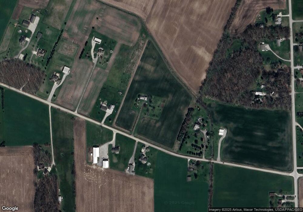
Map
Nearby Homes
- 15000 Minx Parcel B Rd
- 14867 Goutz Rd
- 0 N Suder Unit 50201058
- 3447 Maine Ct
- 945 Tanners Landing
- 983 Tanners Landing
- S Telegraph Rd Dunbar Rd
- 0000 Sullivan
- 3350 Swartz Rd
- 8066 Ida St
- 0 Stanley Dr
- 3026 W Stein Rd
- 8344 Westwood St
- 8257 Ida West Rd
- 0 S Telegraph Rd
- 3829 N Otter Creek Rd
- 14195 S Telegraph Rd
- 955 Cameron Cir
- 4177 Plum Tree Cir
- 3134 Apple Blossom Way
- 1374 Hubbard Rd
- 1379 Hubbard Rd
- 1395 Hubbard Rd
- 1360 Hubbard Rd
- 1430 Hubbard Rd
- 1435 Hubbard Rd
- 1300 Hubbard Rd
- 15057 Strasburg Rd
- 15033 Strasburg Rd
- 1236 Hubbard Rd
- 1355 Hubbard Rd
- 1355 Hubbard Rd
- 15099 Strasburg Rd
- 15085 Strasburg Rd
- 1228 Hubbard Rd
- 15089 Strasburg Rd
- 1227 Hubbard Rd
- 15060 Strasburg Rd
- 15084 Strasburg Rd
- 15090 Strasburg Rd
Your Personal Tour Guide
Ask me questions while you tour the home.