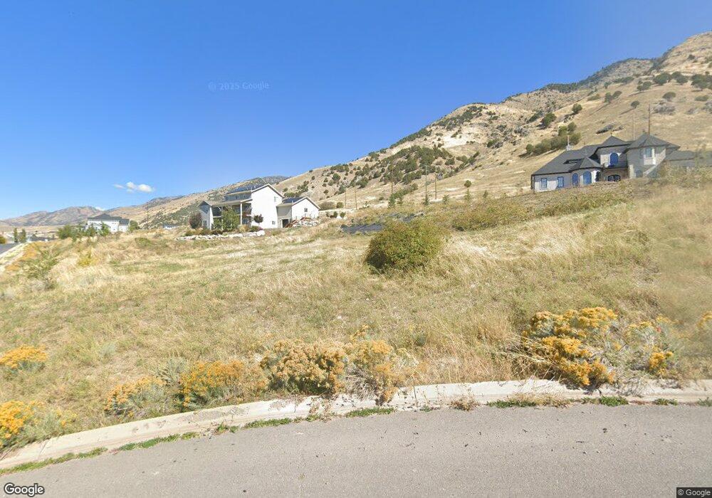
1388 N Cedarwood Ln Unit 13 Logan, UT 84341
Hillcrest NeighborhoodEstimated Value: $174,548
--
Bed
--
Bath
--
Sq Ft
0.46
Acres
About This Home
This home is located at 1388 N Cedarwood Ln Unit 13, Logan, UT 84341 and is currently estimated at $174,548. 1388 N Cedarwood Ln Unit 13 is a home located in Cache County with nearby schools including Hillcrest Elementary School, Mount Logan Middle School, and Logan High School.
Ownership History
Date
Name
Owned For
Owner Type
Purchase Details
Closed on
Oct 23, 2020
Sold by
Kendrick Corey and Kendrick Tamra
Bought by
Flint Vrena
Current Estimated Value
Purchase Details
Closed on
Apr 24, 2019
Sold by
Solare Land Holdings Llc
Bought by
Kendrick Corey and Kendrick Tamara
Purchase Details
Closed on
Sep 15, 2006
Sold by
Deer Crest Heights Llc
Bought by
Solare Land Holdings Llc
Home Financials for this Owner
Home Financials are based on the most recent Mortgage that was taken out on this home.
Original Mortgage
$1,000,000
Interest Rate
6.56%
Mortgage Type
Construction
Purchase Details
Closed on
Mar 16, 2006
Sold by
Solare Land Holdings Llc
Bought by
Deer Crest Heights Llc
Home Financials for this Owner
Home Financials are based on the most recent Mortgage that was taken out on this home.
Original Mortgage
$3,889,433
Interest Rate
6.19%
Mortgage Type
Purchase Money Mortgage
Create a Home Valuation Report for This Property
The Home Valuation Report is an in-depth analysis detailing your home's value as well as a comparison with similar homes in the area
Home Values in the Area
Average Home Value in this Area
Purchase History
| Date | Buyer | Sale Price | Title Company |
|---|---|---|---|
| Flint Vrena | -- | Northern Title Company | |
| Kendrick Corey | -- | Pinnacle Title | |
| Solare Land Holdings Llc | -- | Heritage West Title | |
| Deer Crest Heights Llc | -- | Heritage West Title |
Source: Public Records
Mortgage History
| Date | Status | Borrower | Loan Amount |
|---|---|---|---|
| Previous Owner | Solare Land Holdings Llc | $1,000,000 | |
| Previous Owner | Deer Crest Heights Llc | $3,889,433 |
Source: Public Records
Tax History Compared to Growth
Tax History
| Year | Tax Paid | Tax Assessment Tax Assessment Total Assessment is a certain percentage of the fair market value that is determined by local assessors to be the total taxable value of land and additions on the property. | Land | Improvement |
|---|---|---|---|---|
| 2025 | $2,013 | $260,300 | $260,300 | $0 |
| 2024 | $896 | $112,200 | $112,200 | $0 |
| 2023 | $921 | $110,000 | $110,000 | $0 |
| 2022 | $987 | $110,000 | $110,000 | $0 |
| 2021 | $1,003 | $95,000 | $95,000 | $0 |
| 2020 | $1,114 | $95,000 | $95,000 | $0 |
| 2019 | $1,165 | $95,000 | $95,000 | $0 |
| 2018 | $1,275 | $95,000 | $95,000 | $0 |
| 2017 | $1,327 | $95,000 | $0 | $0 |
| 2016 | $1,376 | $95,000 | $0 | $0 |
| 2015 | $1,377 | $95,000 | $0 | $0 |
| 2014 | $1,310 | $100,000 | $0 | $0 |
| 2013 | $1,294 | $100,000 | $0 | $0 |
Source: Public Records
Map
Nearby Homes
- 1405 N Aspen Dr
- 1451 N Aspen Dr
- 1465 N Stonecrest Ln Unit 14
- 1902 E 1500 N
- 1891 E 1500 N
- 1586 N Sharptail Cir
- 1901 Southpointe Ct
- 1949 Deer Crest Cir Unit 49
- 1810 N 2070 E Unit 10
- 1872 N 1850 E
- 1454 N 1400 E
- 975 N 1600 E
- Cedar Ridge Plan at Foothill Lofts
- Viewside Plan at Foothill Lofts
- Crimson Plan at Foothill Lofts
- Chamberlain Plan at Foothill Lofts
- Lincoln Plan at Foothill Lofts
- Hamilton Plan at Foothill Lofts
- Fairway Plan at Foothill Lofts
- Huntington Plan at Foothill Lofts
- 1388 N Cedarwood Ln
- 1380 N Cedarwood Ln
- 1283 Aspen Dr
- 1279 Aspen Dr Unit 3
- 2 Aspen Dr Unit .21
- 16 Aspen Dr Unit .14
- 2 Aspen Dr Unit 2
- 69 Aspen Dr Unit 69
- 16 Aspen Dr Unit 16
- 15 Aspen Dr Unit 15
- 13 Aspen Dr Unit 13
- 12 Aspen Dr Unit 12
- 1367 N Cedarwood Ln
- 1360 N Cedarwood Ln
- 1360 N Cedarwood Ln Unit 9
- 1360 Cedarwood Ln Unit 9
- 1360 Cedarwood Ln
- 1372 N Cedarwood Ln Unit 11
- 1425 N Stonecrest Ln
- 1405 N Aspen Dr Unit 20