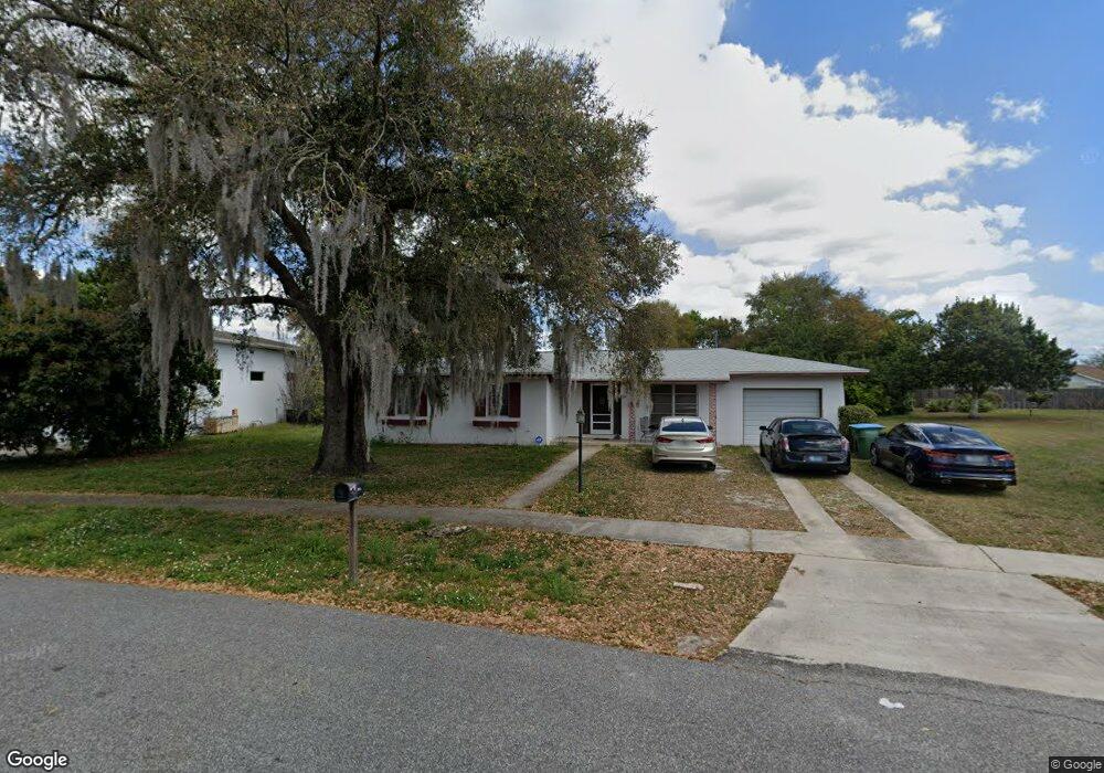
1389 E Hancock Dr Deltona, FL 32725
Estimated Value: $254,000 - $270,750
3
Beds
2
Baths
1,569
Sq Ft
$169/Sq Ft
Est. Value
About This Home
This home is located at 1389 E Hancock Dr, Deltona, FL 32725 and is currently estimated at $265,438, approximately $169 per square foot. 1389 E Hancock Dr is a home located in Volusia County with nearby schools including Discovery Elementary School, Deltona Middle School, and University High School.
Ownership History
Date
Name
Owned For
Owner Type
Purchase Details
Closed on
May 21, 2024
Sold by
Murzycki Sean P and Murzycki Regina A
Bought by
Murzycki Sean P and Murzycki Regina A
Current Estimated Value
Purchase Details
Closed on
Oct 27, 2006
Sold by
Burgard Floyd F
Bought by
Murzycki Sean P and Murzycki Regina A
Home Financials for this Owner
Home Financials are based on the most recent Mortgage that was taken out on this home.
Original Mortgage
$120,000
Interest Rate
6.31%
Mortgage Type
Purchase Money Mortgage
Create a Home Valuation Report for This Property
The Home Valuation Report is an in-depth analysis detailing your home's value as well as a comparison with similar homes in the area
Home Values in the Area
Average Home Value in this Area
Purchase History
| Date | Buyer | Sale Price | Title Company |
|---|---|---|---|
| Murzycki Sean P | $100 | None Listed On Document | |
| Murzycki Sean P | $100 | None Listed On Document | |
| Murzycki Sean P | $150,000 | Watson Title Services Inc |
Source: Public Records
Mortgage History
| Date | Status | Borrower | Loan Amount |
|---|---|---|---|
| Previous Owner | Murzycki Sean P | $120,000 |
Source: Public Records
Tax History
| Year | Tax Paid | Tax Assessment Tax Assessment Total Assessment is a certain percentage of the fair market value that is determined by local assessors to be the total taxable value of land and additions on the property. | Land | Improvement |
|---|---|---|---|---|
| 2026 | $4,136 | $245,206 | $85,064 | $160,142 |
| 2025 | $4,136 | $245,206 | $85,064 | $160,142 |
| 2024 | $3,597 | $237,435 | $82,068 | $155,367 |
| 2023 | $3,597 | $218,192 | $85,680 | $132,512 |
| 2022 | $3,269 | $178,666 | $63,489 | $115,177 |
| 2021 | $3,046 | $137,496 | $40,682 | $96,814 |
| 2020 | $2,848 | $131,807 | $40,066 | $91,741 |
| 2019 | $2,735 | $122,098 | $33,286 | $88,812 |
| 2018 | $2,584 | $115,791 | $33,286 | $82,505 |
| 2017 | $2,305 | $86,983 | $17,239 | $69,744 |
| 2016 | $2,084 | $77,105 | $0 | $0 |
| 2015 | $1,957 | $68,480 | $0 | $0 |
| 2014 | $1,825 | $63,324 | $0 | $0 |
Source: Public Records
Map
Nearby Homes
- 1363 Rockhill St
- 1348 E Hancock Dr
- 1340 Bakersfield Ave
- 944 Halstead St
- 1079 Alladin Dr
- 1051 Eva St
- 1108 Balfour Dr
- 877 Horizon St
- 1418 Corinthian Ave
- 1446 Farmington Ave
- 1429 E Lombardy Dr
- 1211 Stillwater Ave
- 1166 Balfour Dr
- 1214 Pilgrim Ave
- 1215 Parker Ave
- 1105 Tivoli Dr
- 1333 E Lombardy Dr
- 1476 Valiant Ave
- 745 Waterfall Cir
- 1216 Tivoli Dr
- 1385 E Hancock Dr
- 1393 E Hancock Dr
- 1389 Rockhill St
- 1384 E Hancock Dr
- 994 Alladin Dr
- 1374 Bailey Ave
- 1397 E Hancock Dr
- 1372 Bailey Ave
- 1379 Rockhill St
- 1002 Alladin Dr
- 1347 E Hancock Dr
- 1372 E Hancock Dr
- 1376 Bailey Ave
- 1371 Rockhill St
- 1396 E Hancock Dr Unit 30
- 1409 E Hancock Dr
- 1364 E Hancock Dr
- 1384 Rockhill St
- 1345 Rockhill St
- 1345 Rockhill St
Your Personal Tour Guide
Ask me questions while you tour the home.