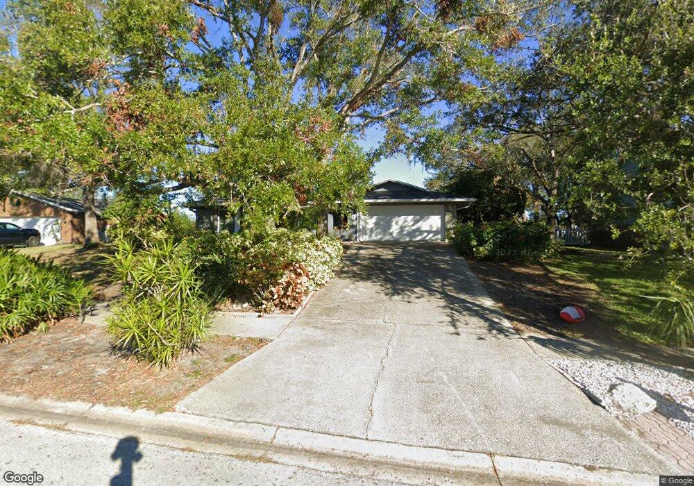
1389 Red Oak Dr Unit 3 Tarpon Springs, FL 34689
Estimated Value: $456,667 - $480,000
3
Beds
3
Baths
2,559
Sq Ft
$182/Sq Ft
Est. Value
About This Home
This home is located at 1389 Red Oak Dr Unit 3, Tarpon Springs, FL 34689 and is currently estimated at $466,917, approximately $182 per square foot. 1389 Red Oak Dr Unit 3 is a home located in Pinellas County with nearby schools including Tarpon Springs Elementary School, Tarpon Springs High School, and Tarpon Springs Middle School.
Ownership History
Date
Name
Owned For
Owner Type
Purchase Details
Closed on
Jul 28, 2011
Sold by
Sullivan Leo A and Sullivan Michele R
Bought by
Fazio Victor M and Fazio Judith A
Current Estimated Value
Home Financials for this Owner
Home Financials are based on the most recent Mortgage that was taken out on this home.
Original Mortgage
$194,930
Outstanding Balance
$134,715
Interest Rate
4.53%
Mortgage Type
FHA
Estimated Equity
$332,202
Purchase Details
Closed on
Aug 31, 1994
Sold by
Lanes Richard C and Lanes Jean E
Bought by
Sullivan Leo A and Sullivan Michele R
Home Financials for this Owner
Home Financials are based on the most recent Mortgage that was taken out on this home.
Original Mortgage
$93,500
Interest Rate
8.44%
Create a Home Valuation Report for This Property
The Home Valuation Report is an in-depth analysis detailing your home's value as well as a comparison with similar homes in the area
Home Values in the Area
Average Home Value in this Area
Purchase History
| Date | Buyer | Sale Price | Title Company |
|---|---|---|---|
| Fazio Victor M | $200,000 | Republic Land & Title Inc | |
| Sullivan Leo A | $104,000 | -- |
Source: Public Records
Mortgage History
| Date | Status | Borrower | Loan Amount |
|---|---|---|---|
| Open | Fazio Victor M | $194,930 | |
| Previous Owner | Sullivan Leo A | $93,500 |
Source: Public Records
Tax History Compared to Growth
Tax History
| Year | Tax Paid | Tax Assessment Tax Assessment Total Assessment is a certain percentage of the fair market value that is determined by local assessors to be the total taxable value of land and additions on the property. | Land | Improvement |
|---|---|---|---|---|
| 2024 | $2,140 | $160,847 | -- | -- |
| 2023 | $2,140 | $156,162 | $0 | $0 |
| 2022 | $2,067 | $151,614 | $0 | $0 |
| 2021 | $2,076 | $147,198 | $0 | $0 |
| 2020 | $2,064 | $145,166 | $0 | $0 |
| 2019 | $2,018 | $141,902 | $0 | $0 |
| 2018 | $1,987 | $139,256 | $0 | $0 |
| 2017 | $1,962 | $136,392 | $0 | $0 |
| 2016 | $1,937 | $133,587 | $0 | $0 |
| 2015 | $1,969 | $132,658 | $0 | $0 |
| 2014 | $1,955 | $131,605 | $0 | $0 |
Source: Public Records
Map
Nearby Homes
- 1395 Burnt Oak St
- 209 Earl St
- 0 Park Ave Unit MFRW7878465
- 1404 Red Oak Dr
- 1950 Lillian Ave
- 1729 S Pinellas Ave
- 0 E Curlew Place
- 1992 Carolina Ave
- 1866 Havenly Ridge
- 1874 Havenly Ridge
- Breeze Plan at Montrose at Innisbrook - Torrance Collection
- Sandbar Plan at Montrose at Innisbrook - Highbridge Collection
- Bearadise Plan at Montrose at Innisbrook - Torrance Collection
- Sunbird Plan at Montrose at Innisbrook - Townes Collection
- Seagate Elite Plan at Montrose at Innisbrook - Townes Collection
- Bayport Plan at Montrose at Innisbrook - Torrance Collection
- Cove Plan at Montrose at Innisbrook - Highbridge Collection
- Sunbird Elite Plan at Montrose at Innisbrook - Townes Collection
- Seagate Plan at Montrose at Innisbrook - Townes Collection
- Whitewater Plan at Montrose at Innisbrook - Highbridge Collection