1389 Stone Pile Gap Rd Dahlonega, GA 30533
Estimated Value: $324,216 - $431,000
2
Beds
1
Bath
1,890
Sq Ft
$201/Sq Ft
Est. Value
About This Home
This home is located at 1389 Stone Pile Gap Rd, Dahlonega, GA 30533 and is currently estimated at $380,804, approximately $201 per square foot. 1389 Stone Pile Gap Rd is a home with nearby schools including Lumpkin County High School.
Ownership History
Date
Name
Owned For
Owner Type
Purchase Details
Closed on
Apr 22, 2023
Sold by
Hope William Albert
Bought by
Mobley Tamara Hope
Current Estimated Value
Purchase Details
Closed on
Feb 21, 2020
Sold by
Hope William Anthony
Bought by
Hope W A
Purchase Details
Closed on
Oct 27, 2000
Sold by
Hope W A
Bought by
Hope W A
Purchase Details
Closed on
Feb 4, 1998
Sold by
Hope W A
Bought by
Hope W A
Purchase Details
Closed on
Aug 27, 1992
Sold by
Hope W A
Bought by
Hope W A
Purchase Details
Closed on
Dec 1, 1976
Bought by
Hope W A
Create a Home Valuation Report for This Property
The Home Valuation Report is an in-depth analysis detailing your home's value as well as a comparison with similar homes in the area
Home Values in the Area
Average Home Value in this Area
Purchase History
| Date | Buyer | Sale Price | Title Company |
|---|---|---|---|
| Mobley Tamara Hope | -- | -- | |
| Hope W A | -- | -- | |
| Hope W A | -- | -- | |
| Hope W A | -- | -- | |
| Hope W A | -- | -- | |
| Hope W A | -- | -- |
Source: Public Records
Tax History Compared to Growth
Tax History
| Year | Tax Paid | Tax Assessment Tax Assessment Total Assessment is a certain percentage of the fair market value that is determined by local assessors to be the total taxable value of land and additions on the property. | Land | Improvement |
|---|---|---|---|---|
| 2024 | $2,750 | $116,922 | $9,930 | $106,992 |
| 2023 | $2,628 | $111,710 | $11,769 | $99,941 |
| 2022 | $2,473 | $99,877 | $9,805 | $90,072 |
| 2021 | $682 | $26,630 | $9,805 | $16,825 |
| 2020 | $680 | $25,790 | $9,398 | $16,392 |
| 2019 | $687 | $25,790 | $9,398 | $16,392 |
| 2018 | $681 | $24,008 | $9,398 | $14,610 |
| 2017 | $694 | $23,993 | $9,398 | $14,595 |
| 2016 | $666 | $22,261 | $9,398 | $12,863 |
| 2015 | $702 | $26,454 | $9,398 | $17,056 |
| 2014 | $702 | $26,644 | $9,398 | $17,246 |
| 2013 | -- | $26,834 | $9,398 | $17,436 |
Source: Public Records
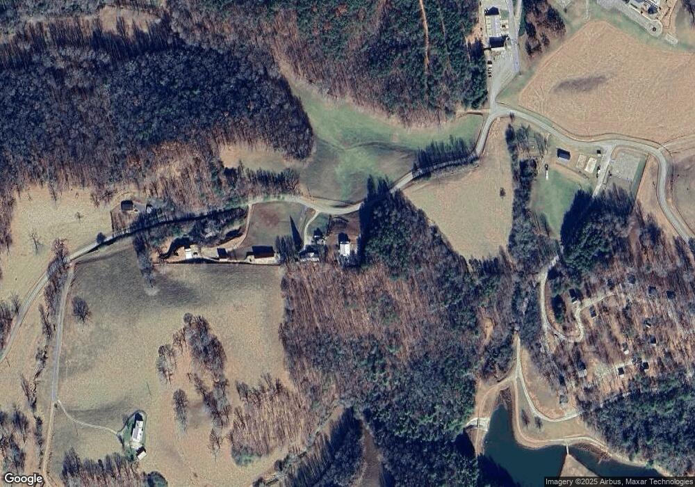
Map
Nearby Homes
- 70 Rustin Ridge
- 30 Rustin Ridge
- 24 Rustin Ridge
- 20 Rustin Ridge
- 18 Rustin Ridge
- 105 Ranch Mountain Ct
- 4864 Black Mountain Rd
- 200 Huntington Place
- 7709 Highway 19 N
- 282 Highway 60 N
- 105 Yonah View
- 0 Yahoola Rd Unit 10535206
- 0 Yahoola Rd Unit 7590460
- 434 Emerald Ridge
- 00 Woodland Ln
- 46 Deer Acres Dr
- 532 Ridley Rd
- T S T S Jarrard Rd
- 0 Ts Jarrard Rd Unit TRACT 3
- 1443 Stone Pile Gap Rd
- 1471 Stone Pile Gap Rd
- 1481 Stone Pile Gap Rd
- 1489 Stone Pile Gap Rd
- 1574 Stone Pile Gap Rd
- 0 Stone Pile Gap Rd
- 0 Stone Pile Gap Rd Unit 982 8360475
- 0 Stone Pile Gap Rd Unit 4055007
- 65 R Ranch Rd
- 1647 Stone Pile Gap Rd
- 159 Kings Dr
- 1831 Stone Pile Gap Rd
- 15 Rustic Trail
- 1807 Yahoola Rd
- 94 Rustic Trail
- 1996 Yahoola Rd
- Lot 3 Yahoola Rd
- 1691 Yahoola Rd
- 1823 Yahoola Rd
- 1994 Yahoola Rd