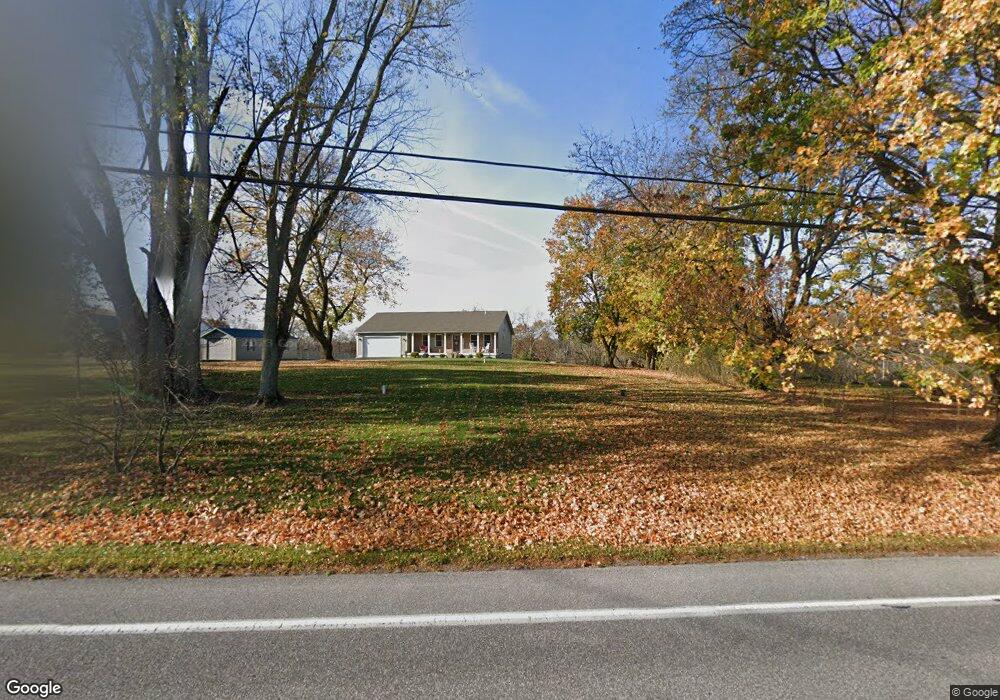
1389 Waggoners Gap Rd Carlisle, PA 17013
Estimated Value: $361,000 - $432,000
2
Beds
1
Bath
1,240
Sq Ft
$322/Sq Ft
Est. Value
About This Home
This home is located at 1389 Waggoners Gap Rd, Carlisle, PA 17013 and is currently estimated at $399,496, approximately $322 per square foot. 1389 Waggoners Gap Rd is a home located in Cumberland County with nearby schools including Bellaire Elementary School, Wilson Middle School, and Carlisle Area High School.
Ownership History
Date
Name
Owned For
Owner Type
Purchase Details
Closed on
Mar 18, 2019
Sold by
Barnes Floyd M and Barnes Rose M
Bought by
Love Richard D and Love Tina M
Current Estimated Value
Purchase Details
Closed on
Nov 29, 2018
Sold by
Ketner David W
Bought by
Barnes Floyd M and Barnes Rose M
Purchase Details
Closed on
Sep 30, 2009
Sold by
Noll Robert L
Bought by
Ketner David W
Home Financials for this Owner
Home Financials are based on the most recent Mortgage that was taken out on this home.
Original Mortgage
$100,000
Interest Rate
5.12%
Mortgage Type
New Conventional
Create a Home Valuation Report for This Property
The Home Valuation Report is an in-depth analysis detailing your home's value as well as a comparison with similar homes in the area
Home Values in the Area
Average Home Value in this Area
Purchase History
| Date | Buyer | Sale Price | Title Company |
|---|---|---|---|
| Love Richard D | $260,000 | None Available | |
| Barnes Floyd M | $250,000 | None Available | |
| Ketner David W | $115,000 | -- |
Source: Public Records
Mortgage History
| Date | Status | Borrower | Loan Amount |
|---|---|---|---|
| Previous Owner | Ketner David W | $100,000 |
Source: Public Records
Tax History Compared to Growth
Tax History
| Year | Tax Paid | Tax Assessment Tax Assessment Total Assessment is a certain percentage of the fair market value that is determined by local assessors to be the total taxable value of land and additions on the property. | Land | Improvement |
|---|---|---|---|---|
| 2025 | $5,103 | $243,600 | $68,100 | $175,500 |
| 2024 | $4,910 | $243,600 | $68,100 | $175,500 |
| 2023 | $4,732 | $243,600 | $68,100 | $175,500 |
| 2022 | $4,656 | $243,600 | $68,100 | $175,500 |
| 2021 | $4,581 | $243,600 | $68,100 | $175,500 |
| 2020 | $4,472 | $243,600 | $68,100 | $175,500 |
| 2019 | $4,318 | $240,900 | $68,100 | $172,800 |
| 2018 | $1,564 | $89,600 | $68,100 | $21,500 |
| 2017 | $1,529 | $89,600 | $68,100 | $21,500 |
| 2016 | -- | $89,600 | $68,100 | $21,500 |
| 2015 | -- | $89,600 | $68,100 | $21,500 |
| 2014 | -- | $89,600 | $68,100 | $21,500 |
Source: Public Records
Map
Nearby Homes
- 181 Shatto Dr
- 140 Shatto Dr
- 10 Family Dr
- 40 Moongale Dr
- 2 Stream Dr
- 10 Stream Dr
- 23 American Ave
- 21 American Ave
- 6 Stream Dr
- 4 Stream Dr
- 12 Family Dr
- Bryson Plan at Hays Landing
- Monroe Plan at Hays Landing
- Willow Plan at Hays Landing
- Mackenzie Plan at Hays Landing
- Cooper Plan at Hays Landing
- Charlotte Plan at Hays Landing
- Dalton Plan at Hays Landing
- Heron Plan at Hays Landing
- 3 Lantern Ct
- 1390 Waggoners Gap Rd
- 1380 Waggoners Gap Rd
- 1370 Waggoners Gap Rd
- 1300 Waggoners Gap Rd
- 1400 Waggoners Gap Rd
- 181 Old Gap Rd
- 155 Old Gap Rd
- 180 Old Gap Rd
- 131 Shatto Dr
- 157 Old Gap Rd
- 151 Shatto Dr
- 141 Shatto Dr
- 161 Shatto Dr
- 160 Old Gap Rd
- 111 Shatto Dr
- 171 Shatto Dr
- 151 Old Gap Rd
- 150 Old Gap Rd
- 191 Shatto Dr
- 101 Shatto Dr